October/November 2021 Vacation Day 13 · · PAGE 43.
November 7, 2021: Sunday afternoon continues
the ride to our
motel for tonight.
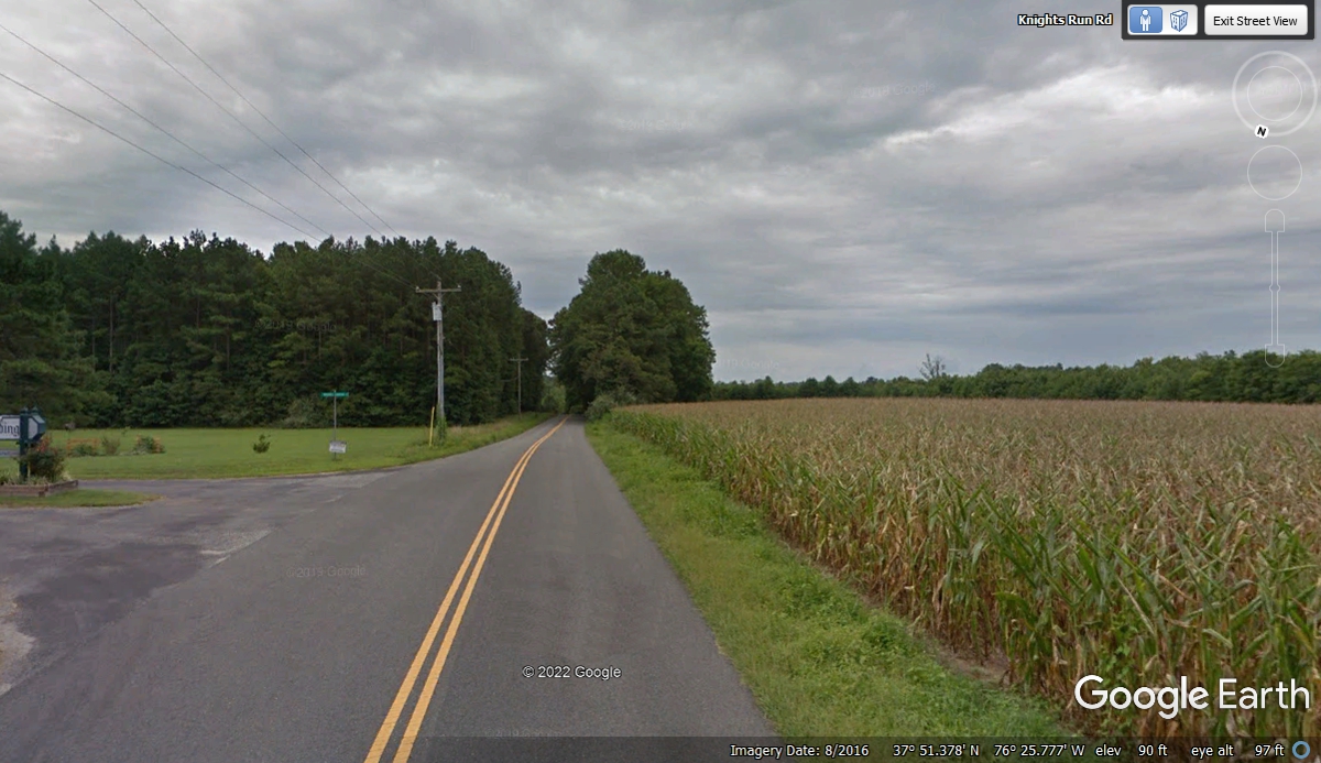
Less than a mile from our previous destination, the GPS pointed us to the
road to the right at this intersection. With the yellow center lines going
that way to the south, it was obvious this is the correct route. I was
using the GPS in a wide enough map scale to see we would get to our next way
points and our motel for tonight. My older digital map has this one
labeled as SR 610. We are having a good BLUE LINE
map experience that is a pleasant diversion from the interstate highways and the
big trucks.
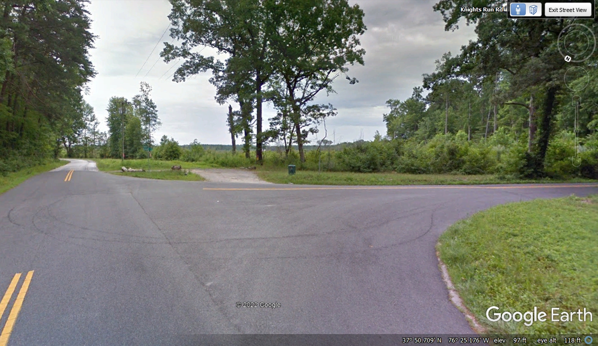
Less that 1.3 miles south on SR 610, it comes to an end at the
intersection in front of Brown's Store. They sell fuel and other stuff
inside. It reminds me of my maternal grandmother's store on Sand Mountain
in Dade County, Georgia. (That is another story from my youth that could
bore you, the reader of this web page.) Back to our route, we turned left
here heading for Virginia route 200 about 3 miles east of this intersection.
Three miles to the east is where route 609 crosses Virginia state route
200 and Brown's Store Road has its eastern end. We are going south from
this intersection as seen below.
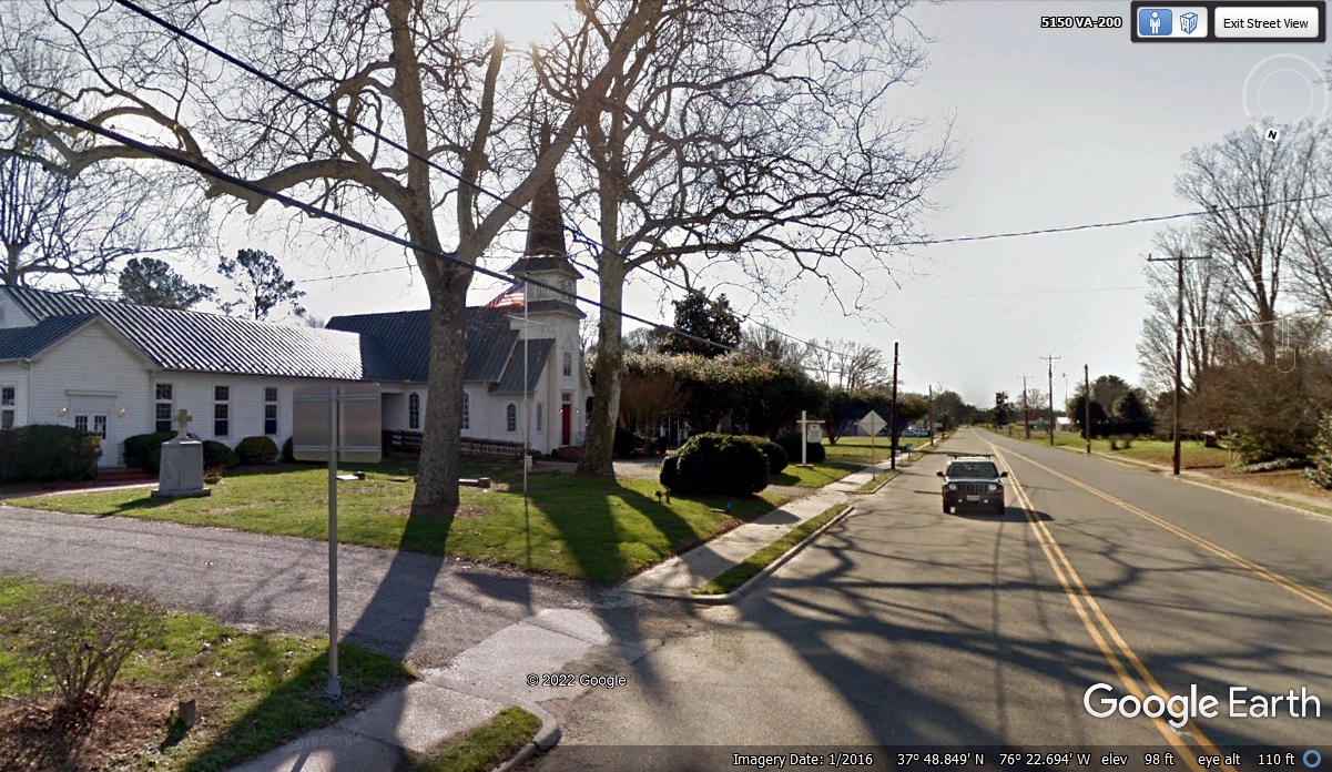
This is Wicomico Church located just south of the intersection of Route
609 on Route 200. Any roads going EAST of route 200 will end at the waters
and bays that are part of the Chesapeake Bay. The path of route 200 keeps
clear of those waters.
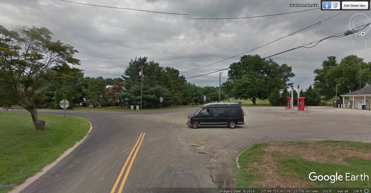
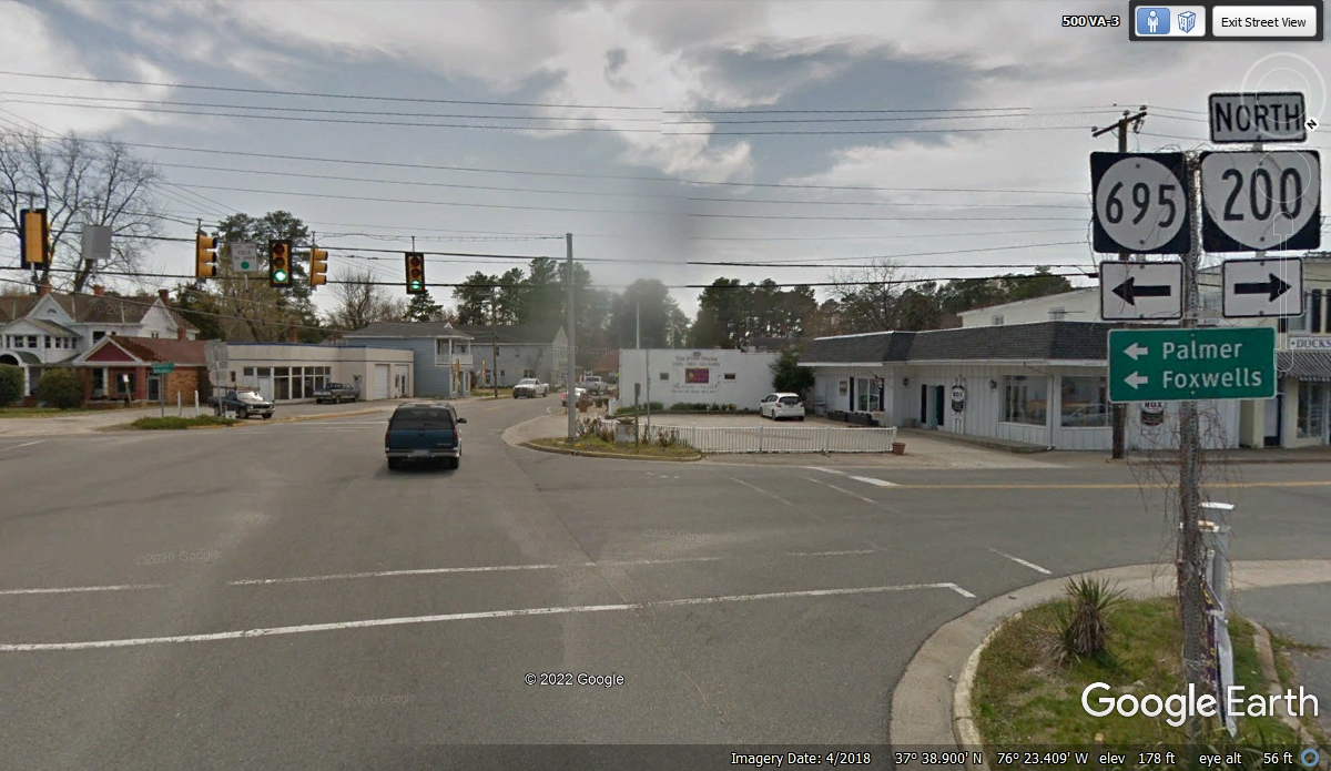
Less that eight miles south from Wicomico VA, route 200 crosses VA Route 3
which will take us four miles south from the intersection ahead to our Motel for
tonight.
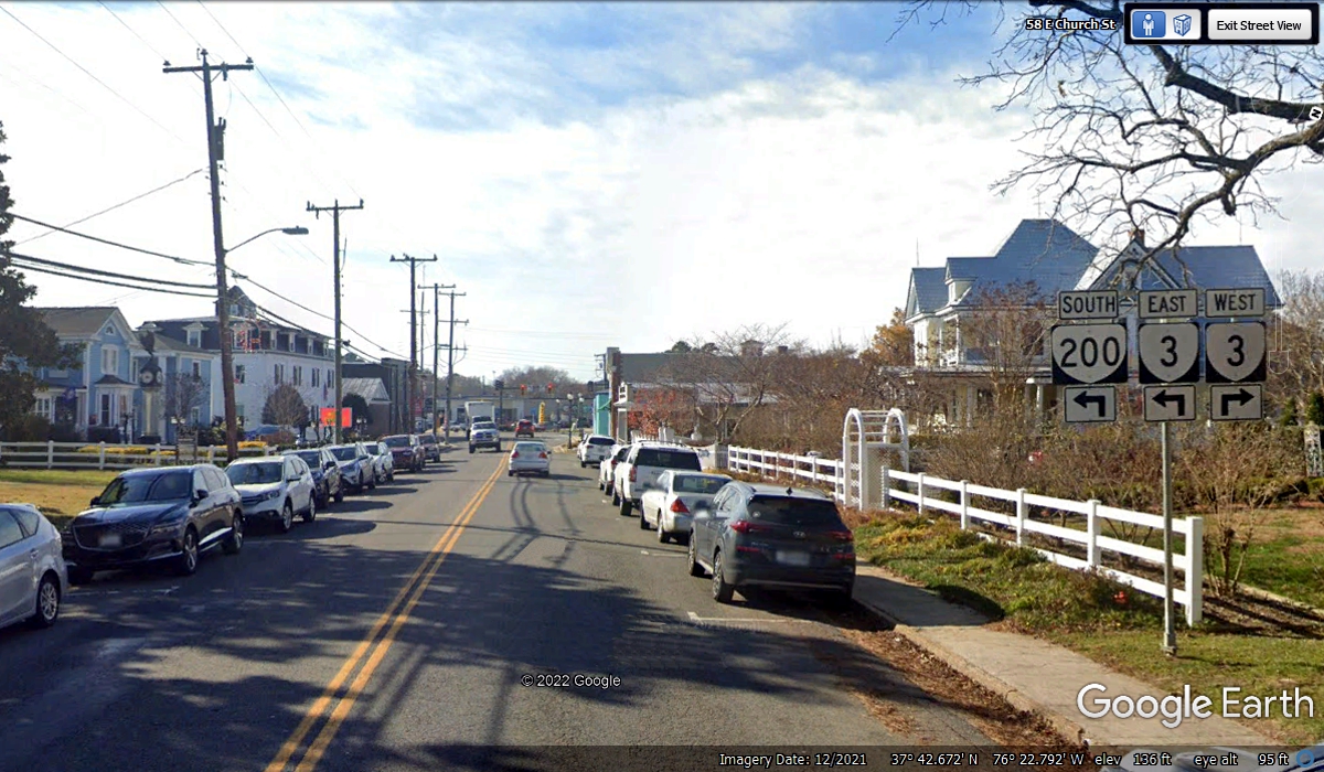
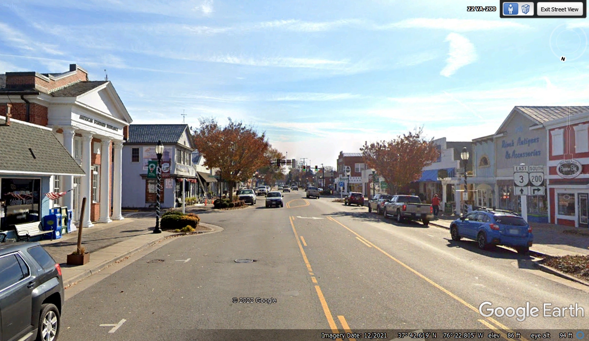
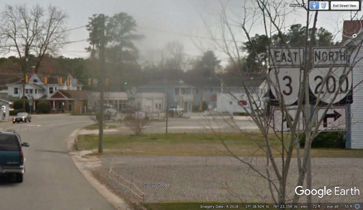
This town of Kilmarnock has its main businesses between the two state
highway junctions where route 200 connects with route 3.
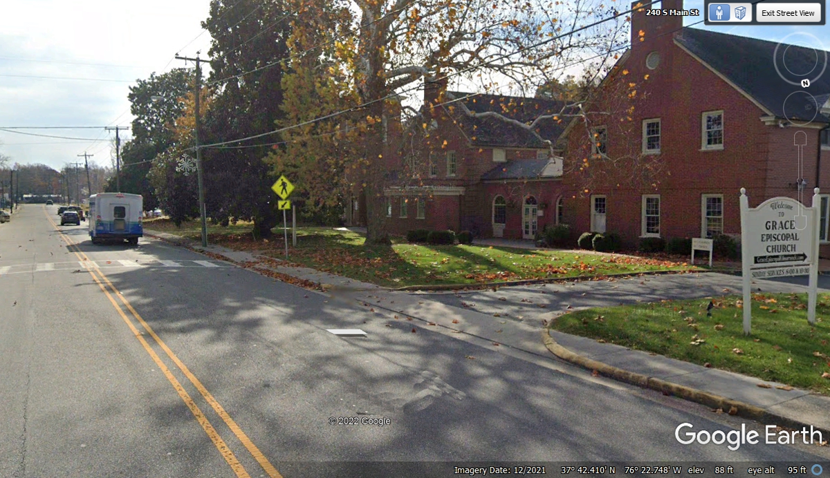
The Grace Episcopal Church is one-quarter of a mile south of the second
intersection of VA 200 and VA route 3.
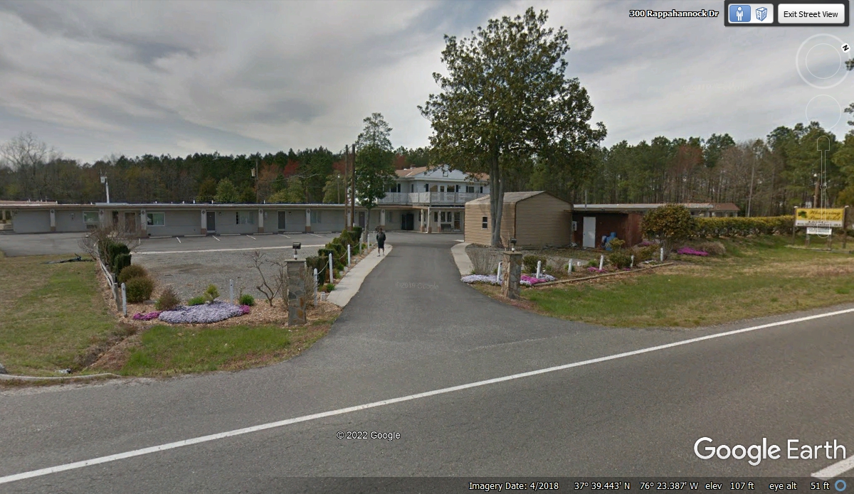
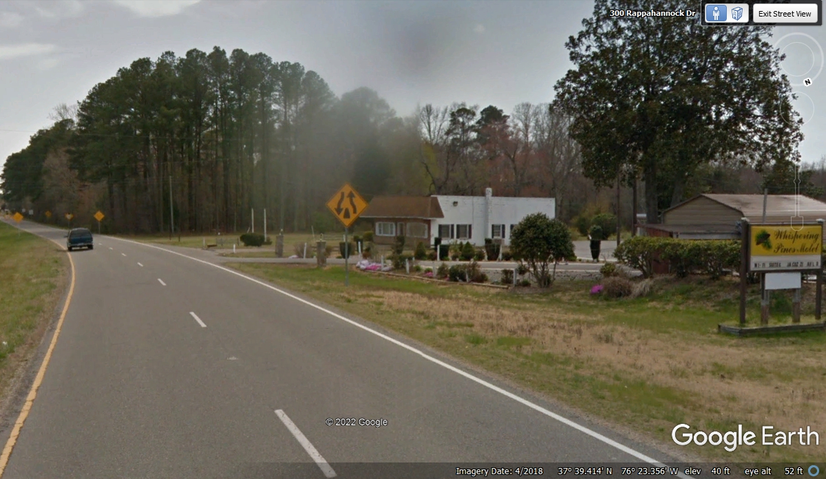
This is The Whispering Pines Motel on Virginia Route 3 less than 4 miles
south of Kilmarnock. It is a traditional Mom & Pop motel with clean
rooms and a refrigerator that kept our snacks cold while our water bottles from
our cooler bag were frozen solid for the journey tomorrow. The TV had good
reception while I used my computer to save my GPS tracks. We arrived at
the motel at 6:03 PM. It was just starting to get dark
October/November 2021 Vacation Day 14.
November 8, 2021: Monday morning we go down to
the Norfolk and Portsmouth area of Virginia to get fuel before we head into
North Carolina. We were packed and on the road from the Whispering Pines
Motel at 8:44 AM.
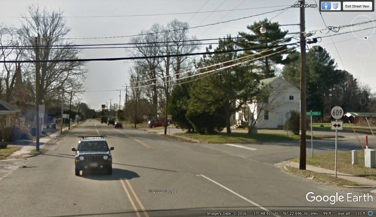
Virginia Route 200 went west from Kilmarnock and circled around until it
ended here in White Stone, Virginia just about half a mile south of the motel.
The route 3 sign needed some limbs and twigs removed that were hiding the
numeral 3, so I cleaned it with some image editing.
Here is the end of route 200. Route 695 runs EAST toward the end of this
peninsula on the north side of the Rappahannock River where it meets Chesapeake
Bay. There is a town upstream on the south side of this river west of here
with the name
Tappahannock. Native Americans originally named these places, just like
where I grew up in north Georgia.
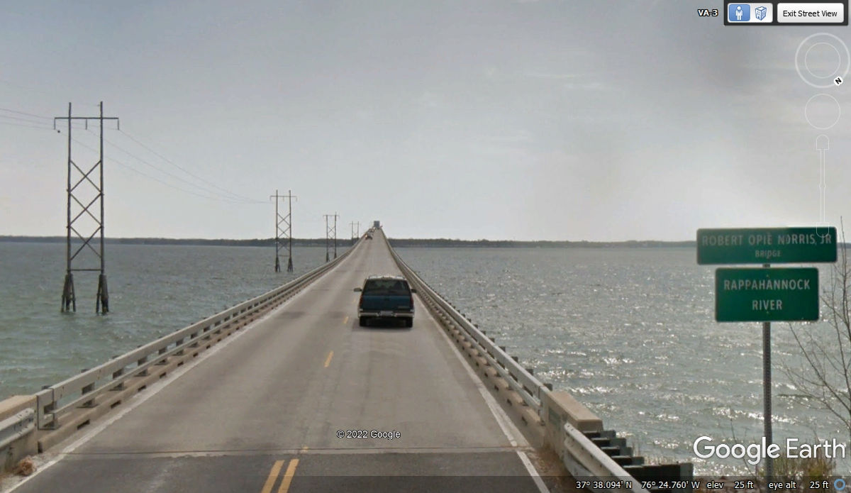
The bridge over the Rappahannock River begins just over half a mile from
the intersection in White Stone seen in the image above. The length of the
bridge is approximately 2 miles from shore to shore across the river.
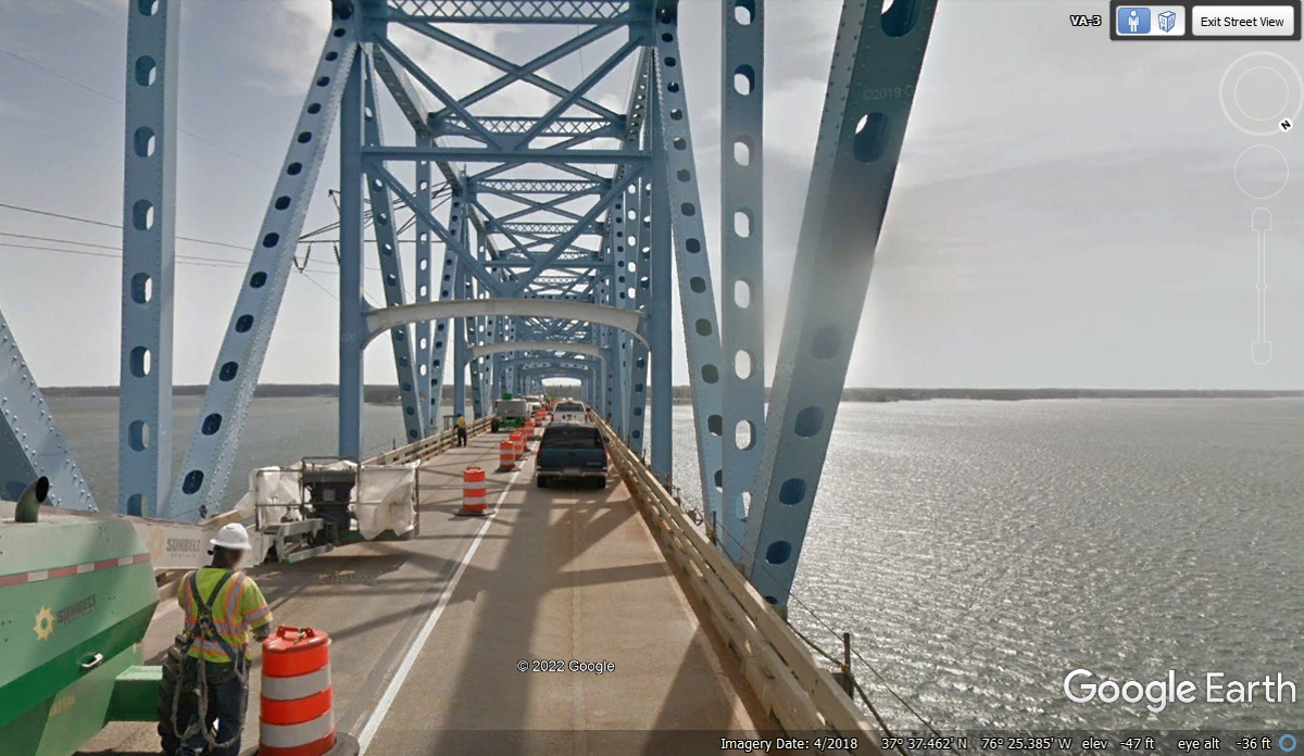
The bridge was having maintenance done when the Google Earth camera
vehicle passed this way in April 2018.
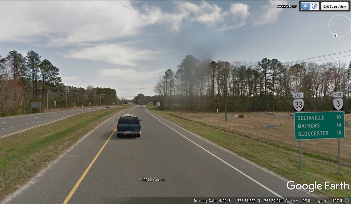
We came to the Junction of VA route 33 that comes from Richmond and
continues East with Route 3. The Junction was less that four miles from
the south end of the bridge. The road from here going East is coming down
to a two-lane road.
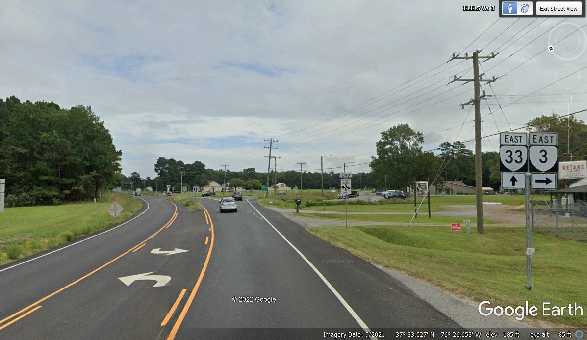
These two highways run together only 3.4 miles until route 33 splits to
the left here and runs to the end of the this peninsula at the Chesapeake
Bay. Route 3 turns south toward the next peninsula.
While reviewing our route on this trip, I am using Google Earth as if I am
flying over the terrain below. When something gets my attention, I take a
closer look using the Google Earth camera vehicle as my car at street
level. This is looking down at Virginia state route 3 with the junk yard
hidden from view from the highway. First Lady Rosalynn Carter got
President Carter to get that regulation passed to "Beautify America".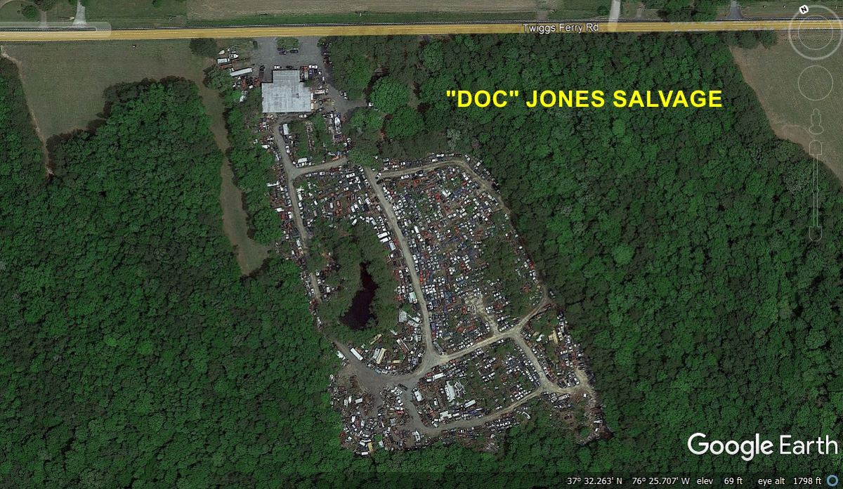
Down at street level, the size of the salvage yard behind the office and
garage is hidden from view.
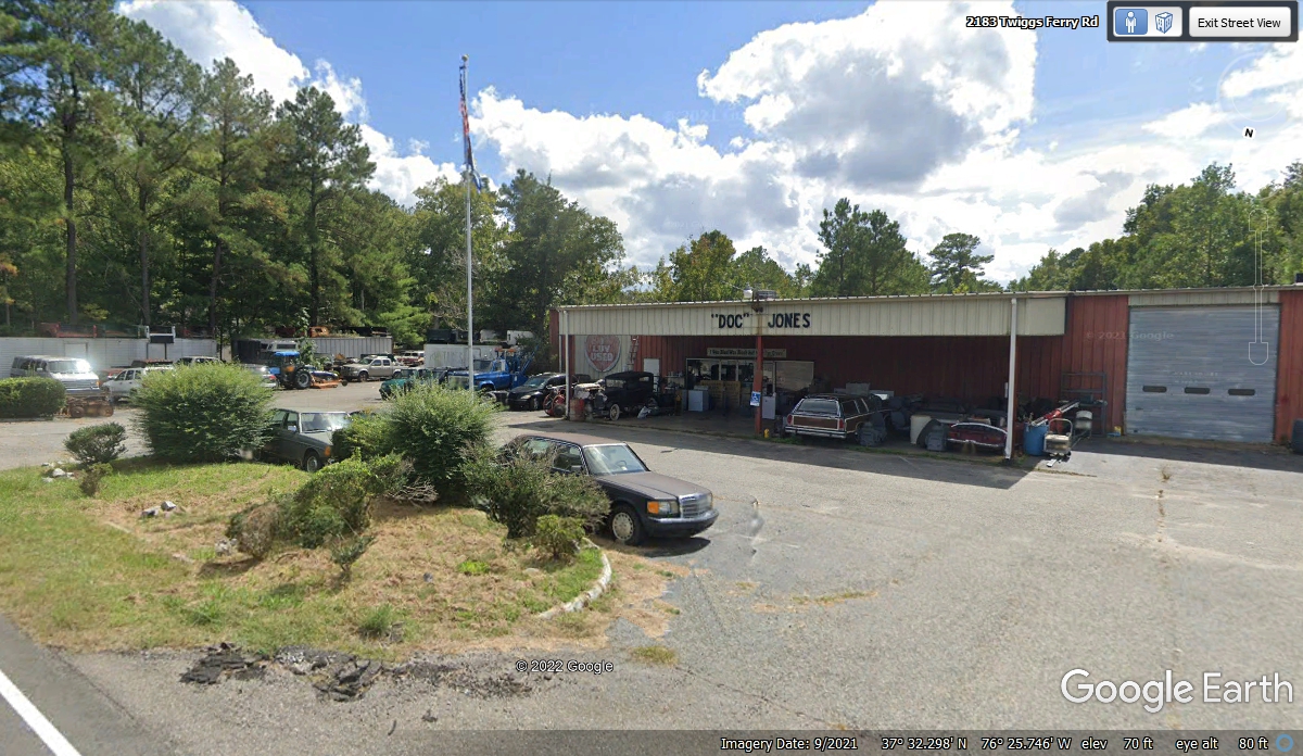
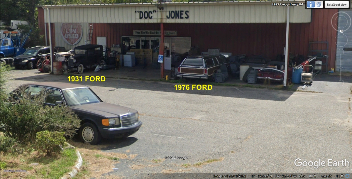
When I looked at the street view in the image above, I spotted two
vehicles from my past experiences. The 1931 Ford is probably a Crown
Victoria with a factory vinyl top. A high school friend of mine found one
in a barn near Chatsworth, Georgia in the 1960's and restored it, keeping the
original engine. The 1976 Ford station wagon has the "woody"
option the California Surfers loved big time. The 1976 Ford company car I
drove had a light blue paint job without the woody trim. I drove it all over the eight southern
states when I was a company field engineer on the first job I had after I
completed my three years in the US Army.
Southeastern Virginia has numerous rivers that create peninsulas as they
get closer to the Chesapeake Bay. The bridge ahead is higher in the middle to allow
some boats to pass under.
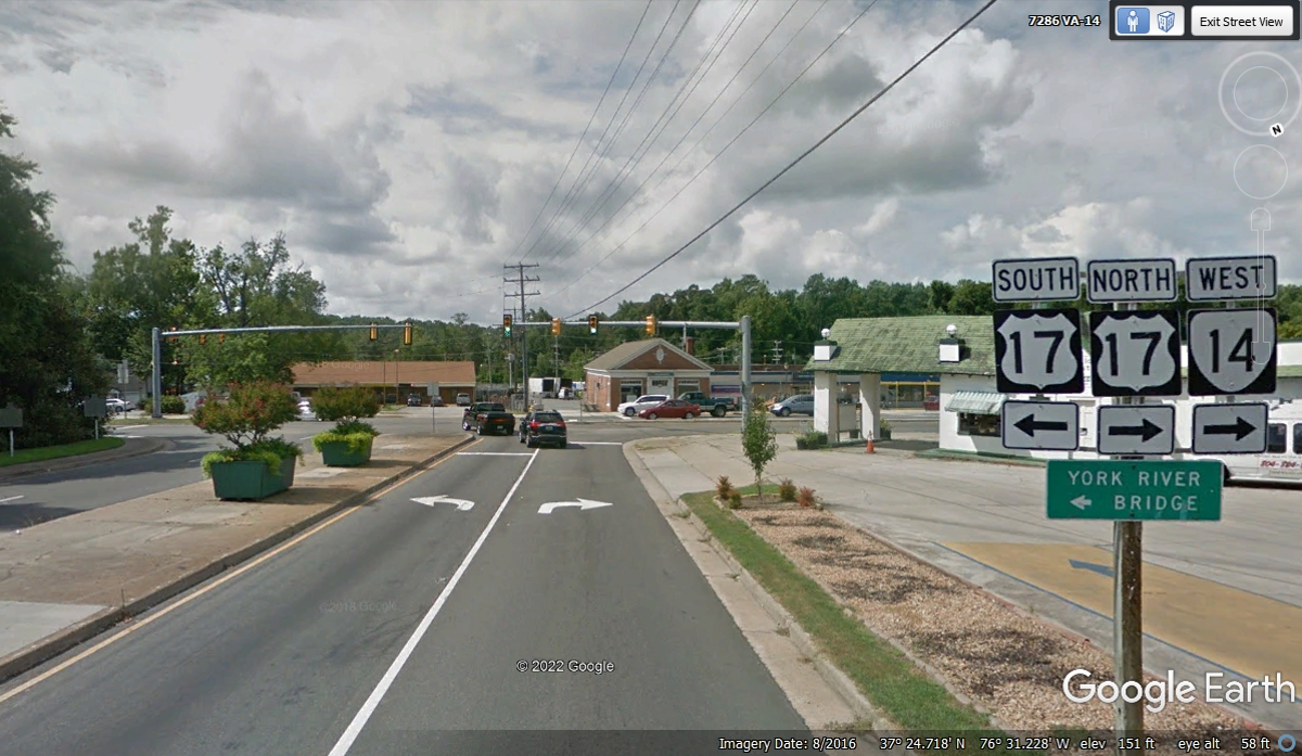
We have reached the end of Virginia route 3 at the junction of US
17. We will turn left to go south toward Norfolk and Portsmouth, VA.
We arrived here at 9:20 AM.
| RETURN TO 2021 VACATION MENU |