October/November 2021 Vacation Day 14 · · PAGE 44.
November 8, 2021: Monday continues on
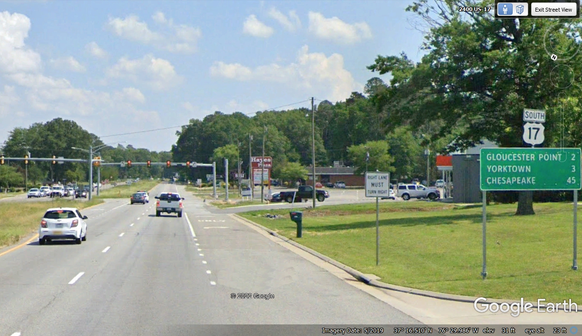
US 17 going south in southeastern Virginia and nearing the end of another
peninsula at Gloucester Point.
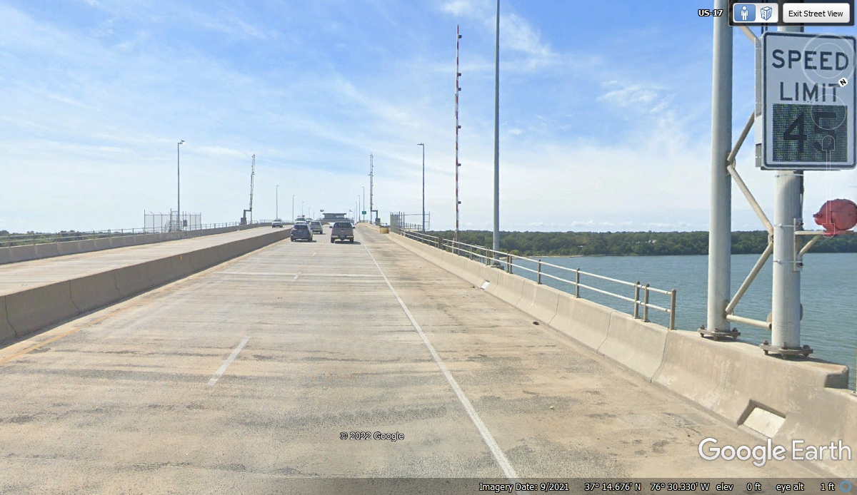
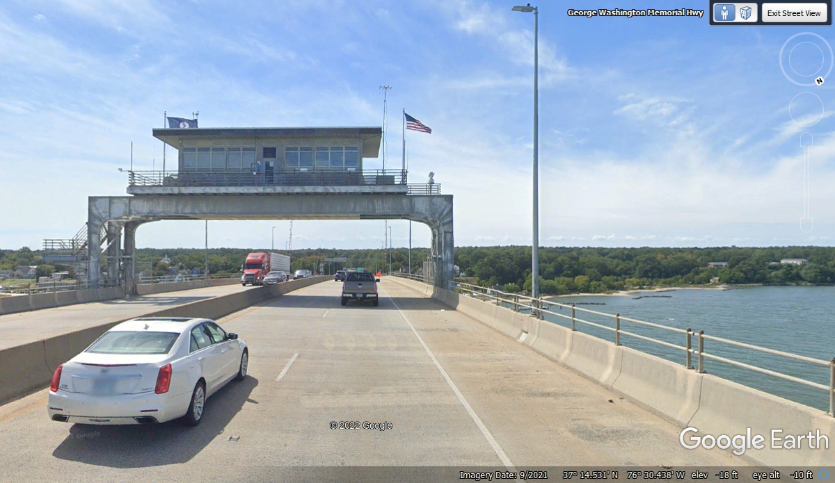
There is a sign that says DRAW BRIDGE on the approach toward Gloucester
Point on US 17. When you get here, you see the gates and realize they are
very far apart on the bridge.
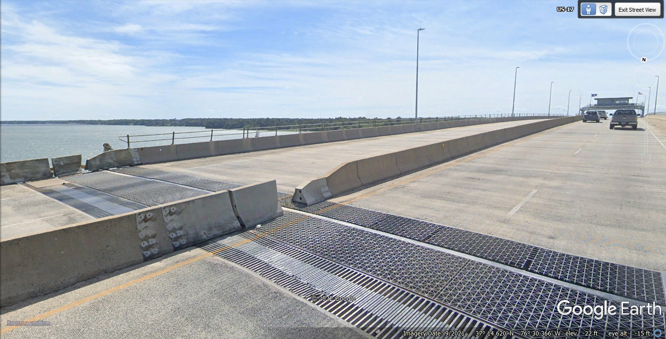
This is the north end of the Coleman swing bridge on the north side of the bridge
control tower. It is because there are two swing bridge sections that the
safety gates are so far apart.
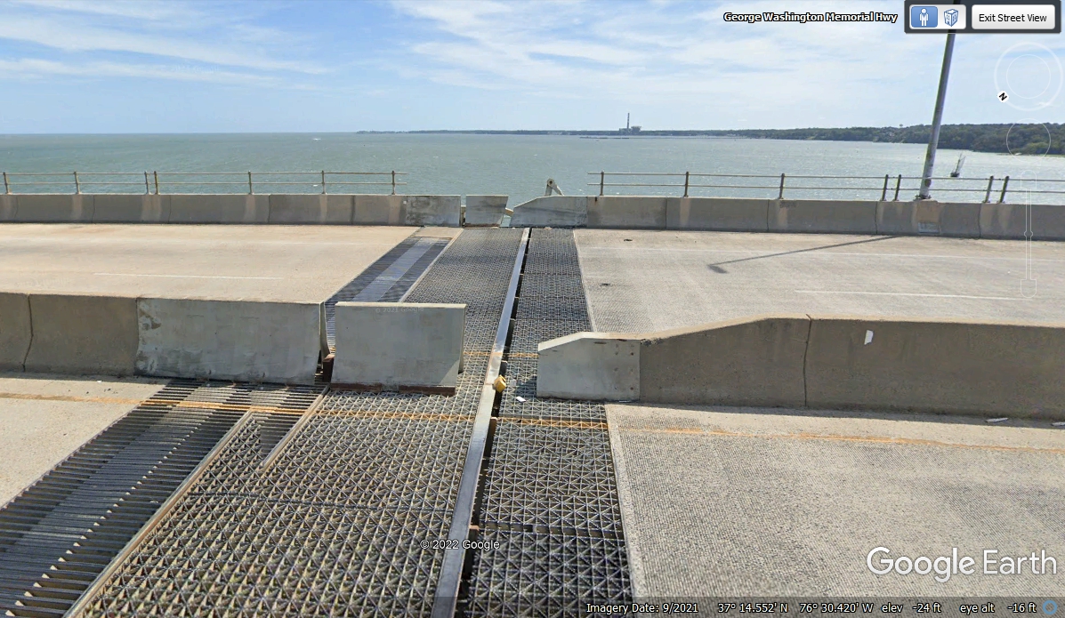
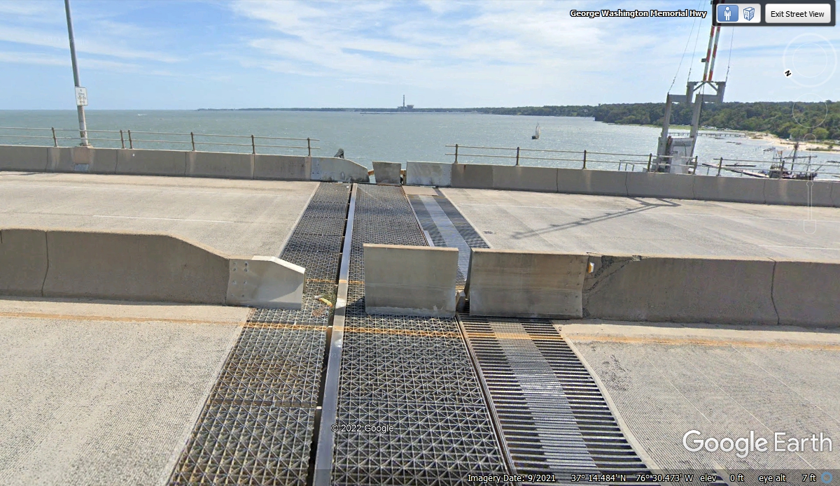
This is the joint where the two sections of the swing bridges meet
in the middle of the movable sections.
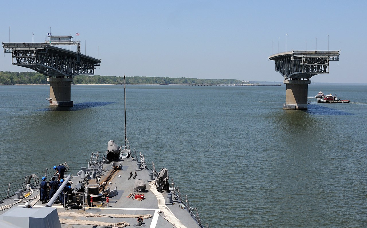
The control tower of the bridge sits on the center of the second swing
bridge segment when coming south on US 17.
This is the south end of the movable segment of the swing bridge that has
the control tower at its center. You can also see the safety gate that
comes down at the south end of the bridge.
The US Navy took this photo from a destroyer moving through the open bridge
segments to get upstream to a Navy base on the York River.
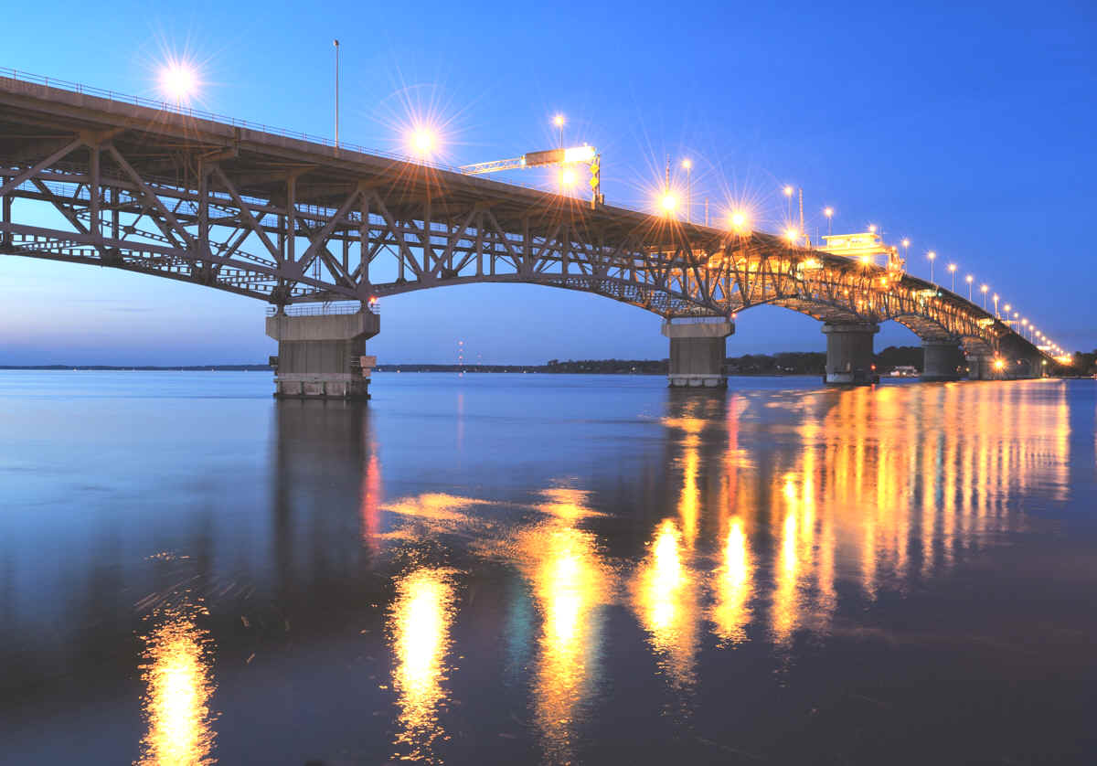
Here is a night time image of the Coleman bridge.
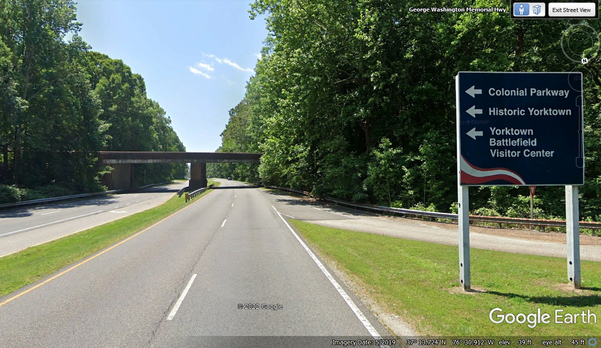
This is the first of two exits south of the Coleman Bridge. It
leads to Yorktown where the British Army surrendered in the last battle of the
Revolutionary War for independence from England. The Colonial Parkway goes
to Williamsburg and Jamestown from here.
I have been down US 17 in this area before and the traffic here was
slow. I saw this route 105 connection to Interstate 64 and took it to get
going.
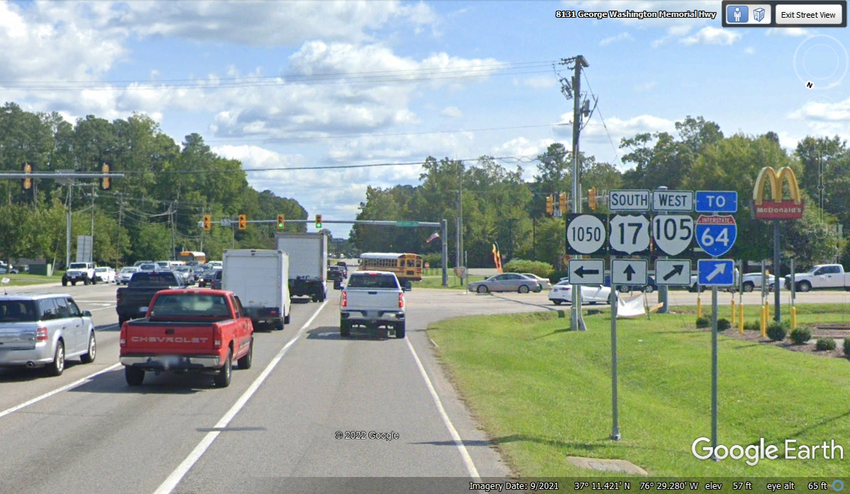
We got on I-64 not far from US Army base Fort Eustis and headed east.
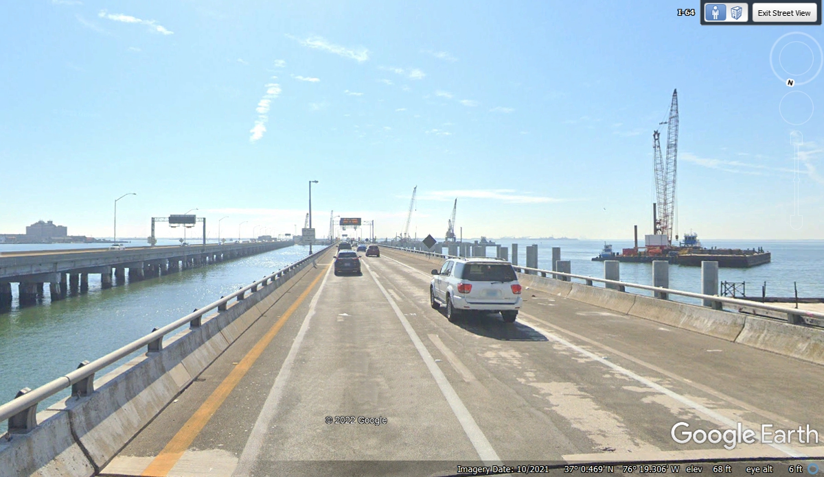
We
passed the city of Hampton Roads to use the bridge and tunnel to get to the other side
of the bay.
Descending into the tunnel from the west side.
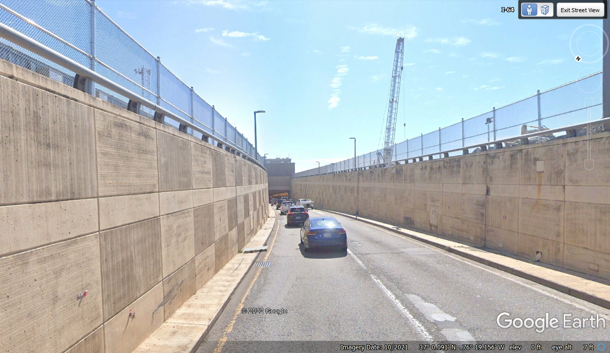
This tunnel has much better lighting than the Holland Tunnel we used
leaving New York City.
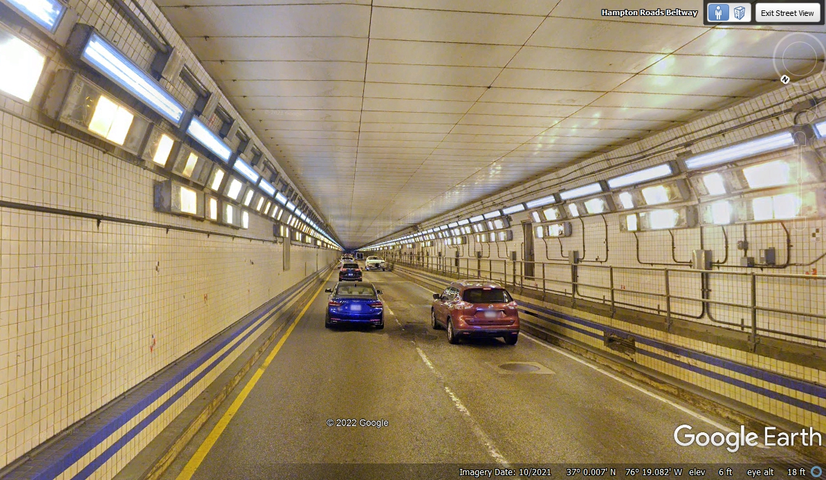
Coming up out of this tunnel on the EAST side.
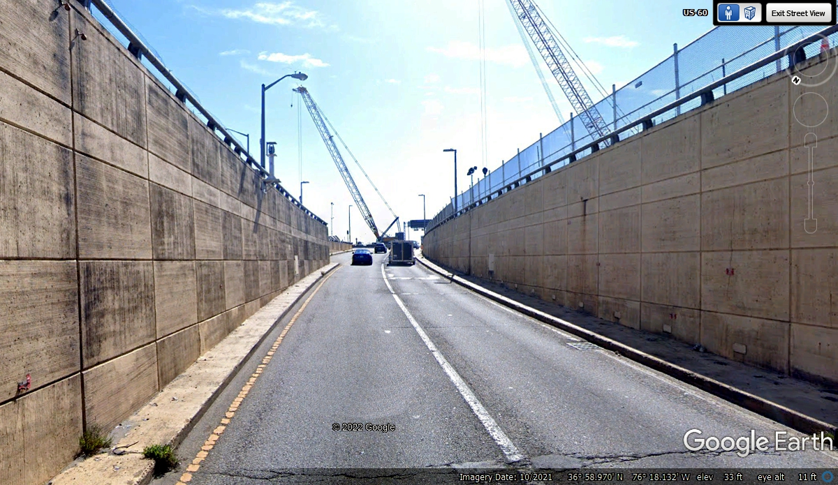
Topside again and headed for terra firma on the east side of the bay.
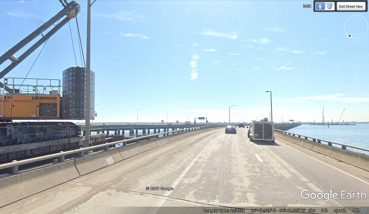
Traffic was coming to a halt on I-64 and I chose to get off a bit earlier
to find fuel on the surface streets nearby.
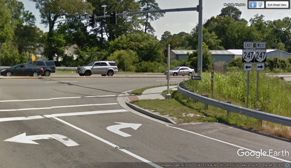
At the end of the off-ramp from I-64, the right turn on VA route 247 was
the first choice. We looked at a Citgo station but the price was
bad.
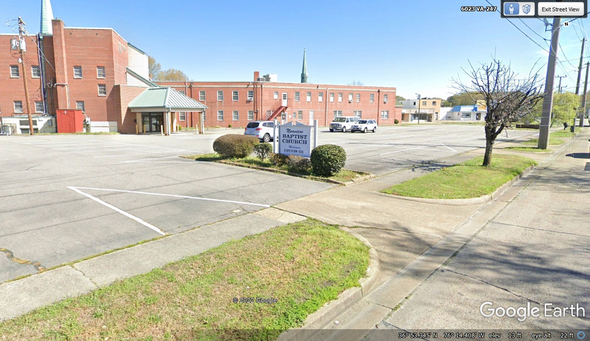
We went down the street another block and pulled into this church parking
lot to give Chase some food water and a break in the grass to relieve
himself. We arrived here at 10:24 AM and continued our fuel search at
10:35 AM. We went down the street to another station just 5 minutes away
and found they were out of gas.
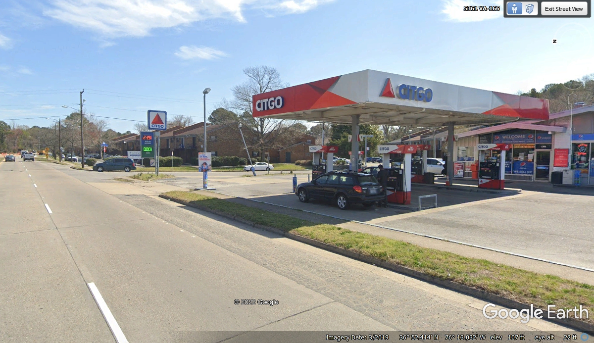
We found this Citgo station with a good price and plenty of fuel.
This is located on East Princess Anne Road. I came here a number of years
ago to move my step daughter from Florida up here to an apartment with a
high-school girl friend who was in the US Navy at the time. I pulled up to
the pump at 10:49 AM and departed with full fuel at 10:55 AM and we were back on
the interstate highway at 11:05 after correcting a wrong turn.
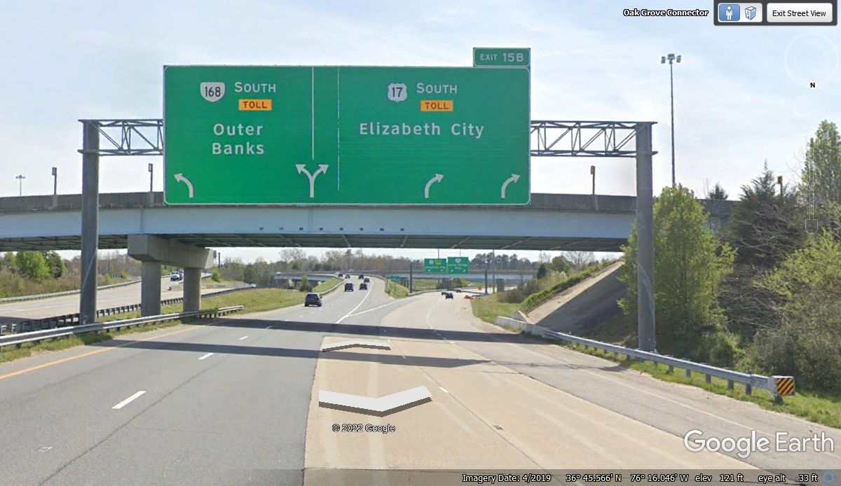
We drove around to the southeast side of town and got off here at exit
291B to head toward the Outer Banks of North Carolina.
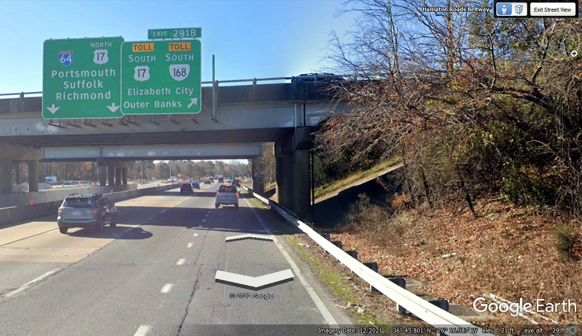
We got up on top of the place I was in the photo above, but when I got
here, I was in the far right lane and ended up going a few miles down US 17
instead of being on Virginia route 168. I did notice there were a number
of changes in this area that were not on my GPS maps. I ended up taking
some country roads across to route 168 and getting back on course at 11:47 AM.
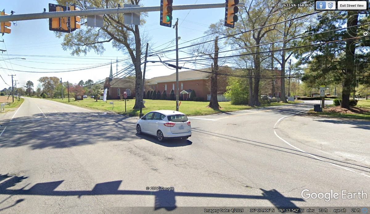
We came across country on county roads that brought us to this intersection
with Virginia route 168. We entered from the right side and turned right
to head down the road in front of the Methodist Church going south.
| RETURN TO 2021 VACATION MENU |