October/November 2021 Vacation Day 7 · · PAGE 19.
November 1, 2021: Monday morning
departure at 9:45 AM from Watertown should be easy as our hotel is located on US 11 in the
middle of town. This looks like it will be easy to get started today to
places I have never been before, but that applies to all the places we have been
since leaving my cousin's home in Parma, Ohio. The important road sign
here is US 11.
Just one block and turn left should be easy to get on our desired route.
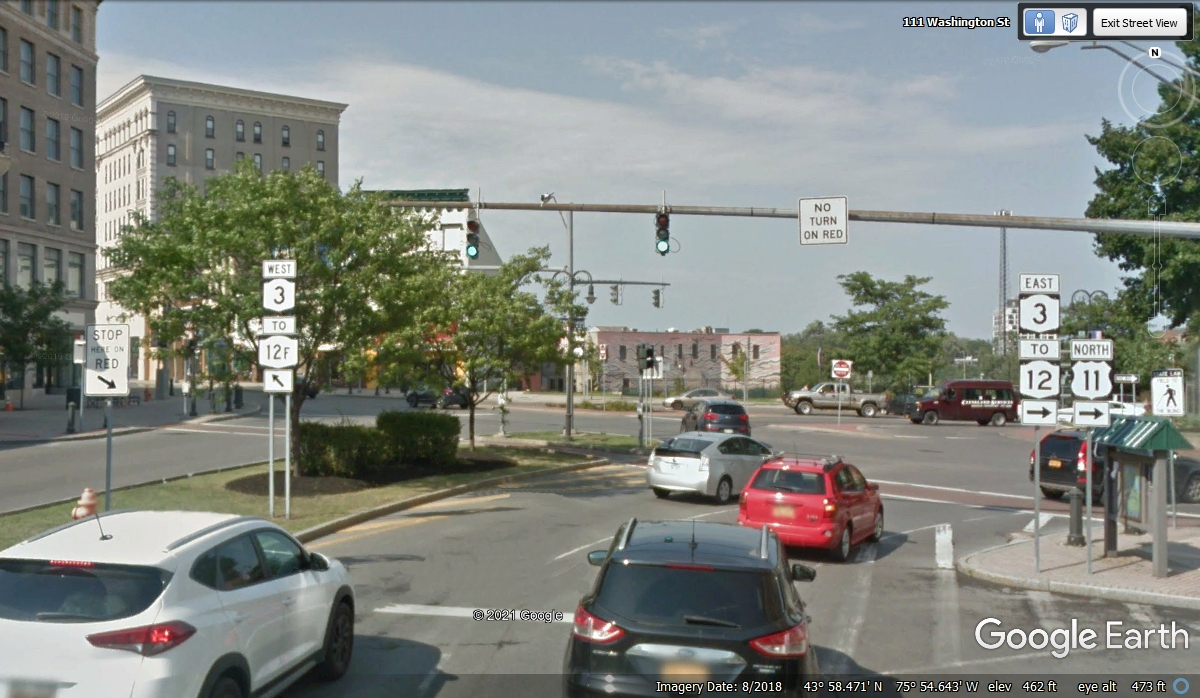
I managed to turn left, but it was not at the street going north as US
11. I had entered this U-turn access and found I was going back to the
West on NY 3.
I was stopped by the traffic light and glanced down at my GPS screen and
noticed I could take the 12F turn ahead to get on a major street that would
connect with US 11 about 1 mile from where I am now.
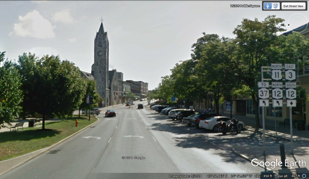
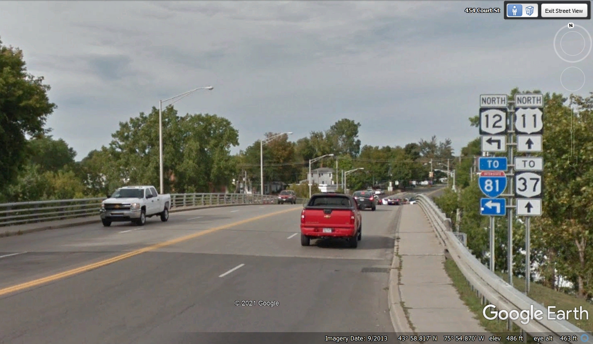
The route 12 marker took me up a one-way street to the northwest from the
center of town and along the way, a US 11 sign joined the others and I am back
on track with a very small disruption behind me. The bridge is crossing
the Black River here in Watertown, NY. A quick internet search reveals
this river is popular with white water rafting enthusiasts.
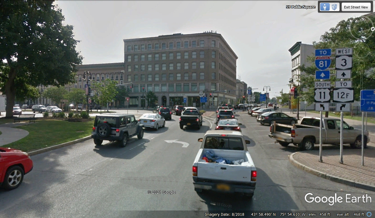
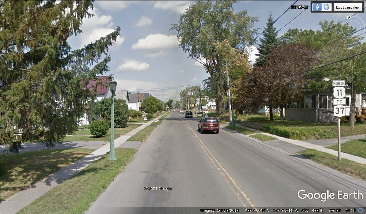
US 11 on this route passes through mostly residential areas. I
looked at the "OTHER US 11" that went north from where I made my
"U-TURN" to discover there were no US 11 marker signs through the full
length of Mill Street going to the north end of town.. The road we used is the one you are seeing in these
photos. It has two marker signs like the one you see in this photo below,
along the path to where the two US 11 routes join on the north side of town.
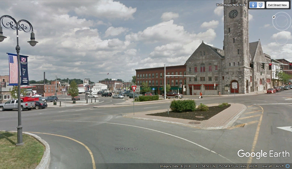
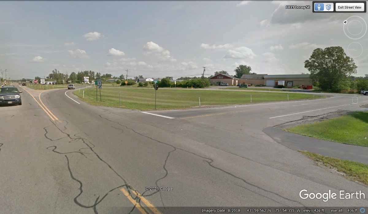
This is the place where both US 11 routes join before leaving the city
going north for real. There was some road construction here when we
reached this location on November 1, 2021. The path ahead for northbound
traffic was blocked with orange cones with a minor detour on the short street
going to the right in this photo. We then turned left and went on the other
road as it merged with this road where this image was captured. I had been
looking at the two roads converging on my GPS map display during our transit to
this location.
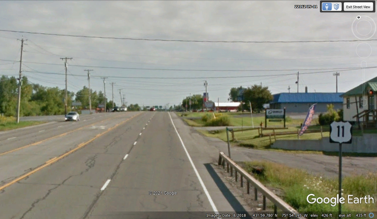
Less than a mile north of the merge lanes, this solitary US 11 sign and
the four-lane roadway are a welcome sight as our adventure gets up to speed
through new territory for us.
Here is the big picture of what happened to the roads north of Watertown,
NY. On the far left side is Interstate 81 going up to Canada. At the
bottom left of this image is where the US 11 routes in the city were joined
before going north. The four-lane road seen in the image above did not
make it past the point where NY route 37 split from US 11 that is now on a North
and Easterly course across upstate New York and that is where we are going.
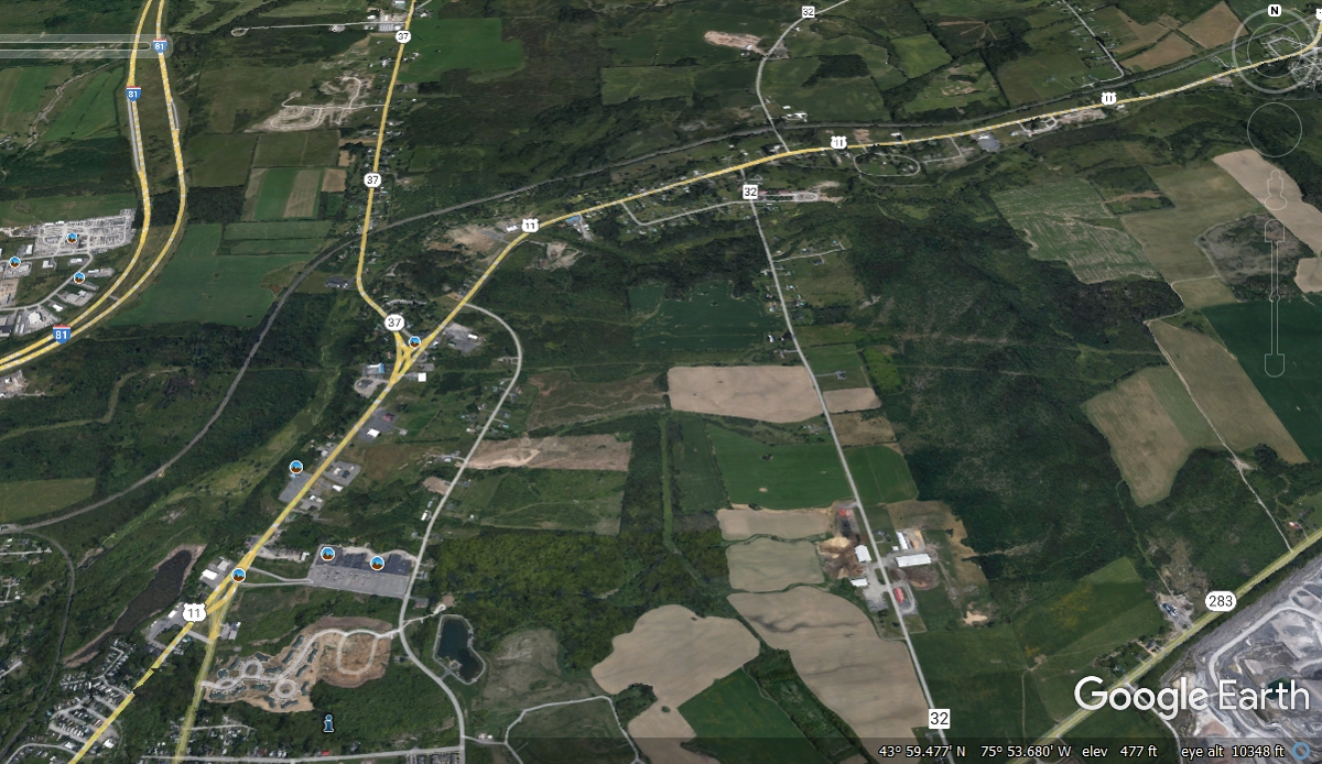
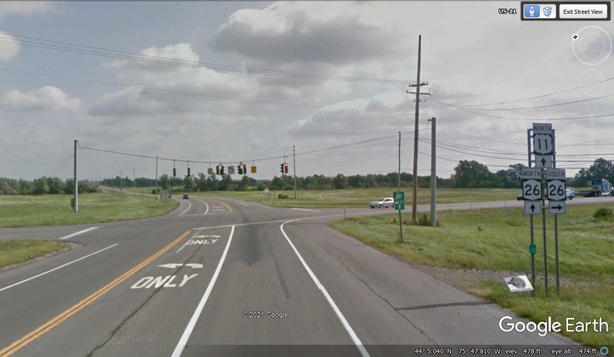
This intersection is about 10 miles north of Watertown with NY route 26
going East to the main gate of Fort Drum. This is the home of the 10th
Infantry Division of the US Army also known as the 10th MOUNTAIN
DIVISION. This division was used in World War 2 against the Germans in the
mountains of northern Italy.
I have noticed on my maps a number of towns and villages in New York State
with European
city names.
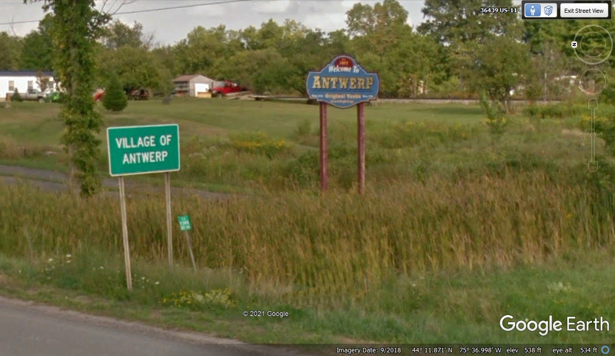
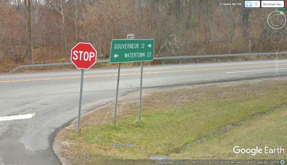
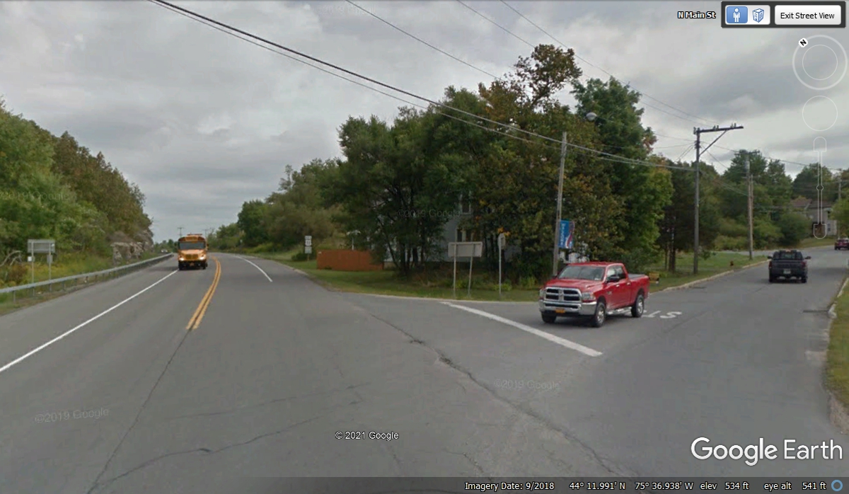
Antwerp is 22 miles north of Watertown and 12 miles south of Gouverneur
(French name). We are getting closer to the Canadian border. I
looked at parts of the old town using the Google Earth camera vehicle. The
image below is where Main Street connects to US 11.
US 11 Main Street view going to the small town of Antwerp. We did
not go there as we passed this way. I did use Google Earth to see the
small town.
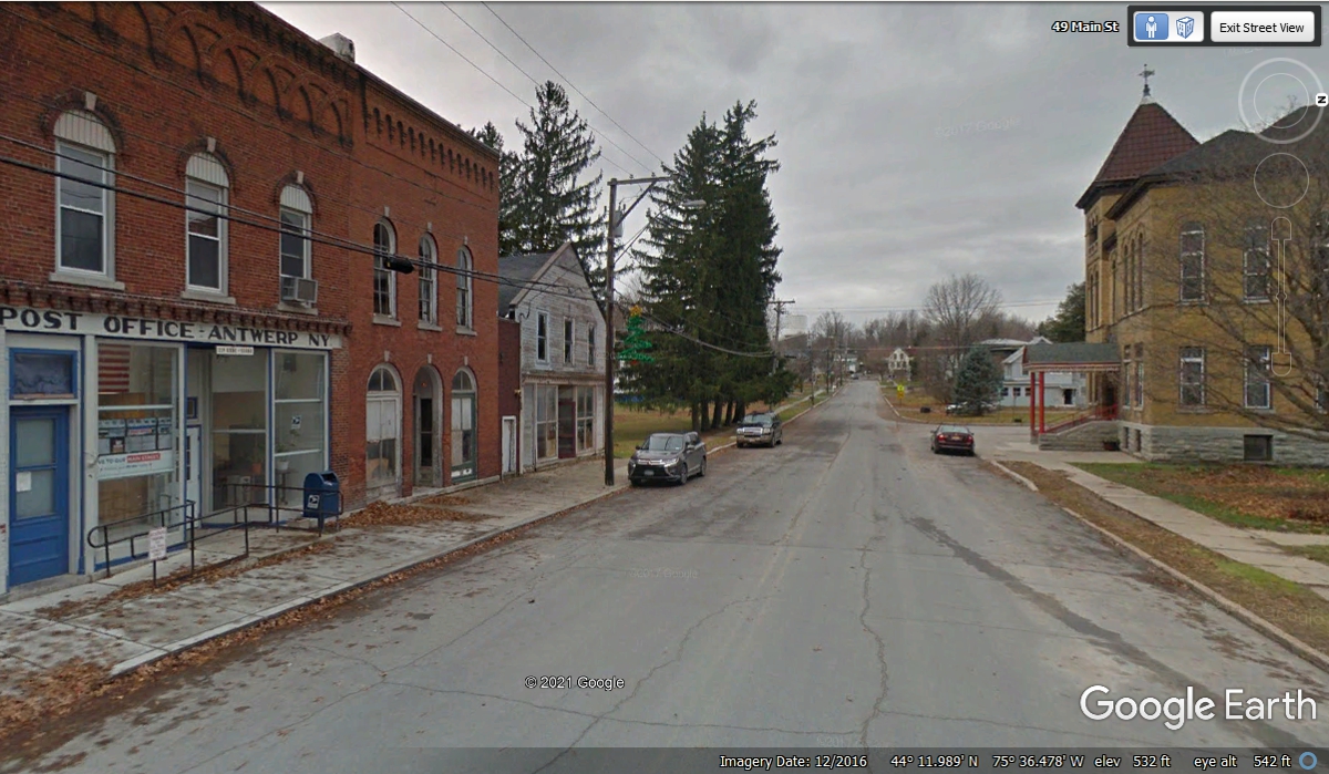
This is Main Street in Antwerp, NY showing the US Post Office at the left
and the Town Hall on the other side of the street. There is a weather vane
on the roof.
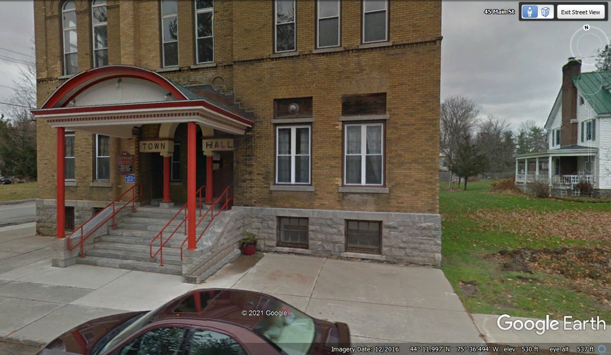
Here is the front view of the Town Hall.
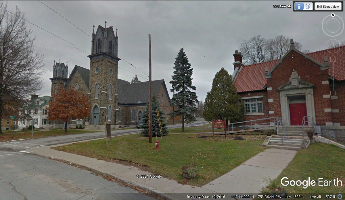
This church is located across the street from the Post Office. The
public library is the building on the right side of this image below.
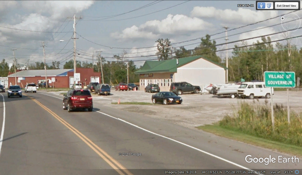
This town below has about 7,000 inhabitants. Gouverneur,
New York - Wikipedia
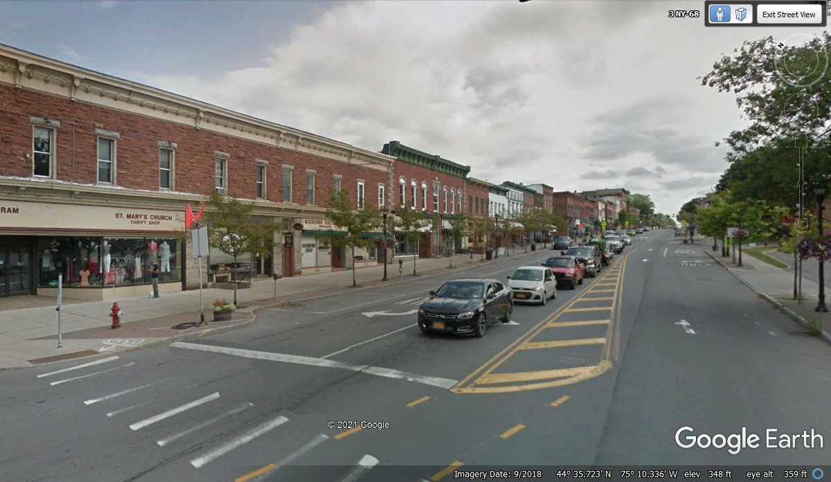
The next town going north on US 11 is Canton.
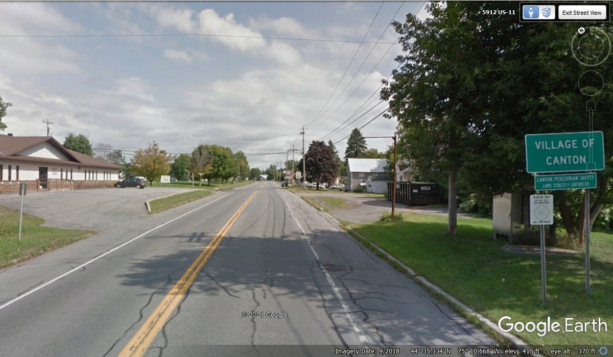
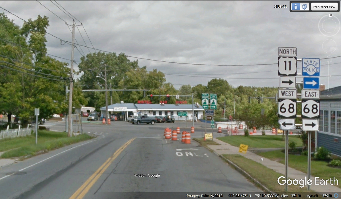
The middle of town is usually where many highways meet as seen here in
Canton, NY. Notice that Google shows the address here as 3 US-11.
After turning on to US 11 north, there is a bridge that crosses the Grass
River. The bridge was under construction in September 2018 to make it four lanes. 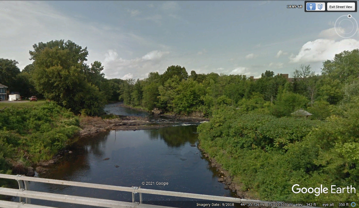
Only
two lanes were open, with one lane going each way across the bridge.
Google Earth captured this image in September 2018. Since we passed this
way in November 2021, the bridge was fully open with no traffic problems.
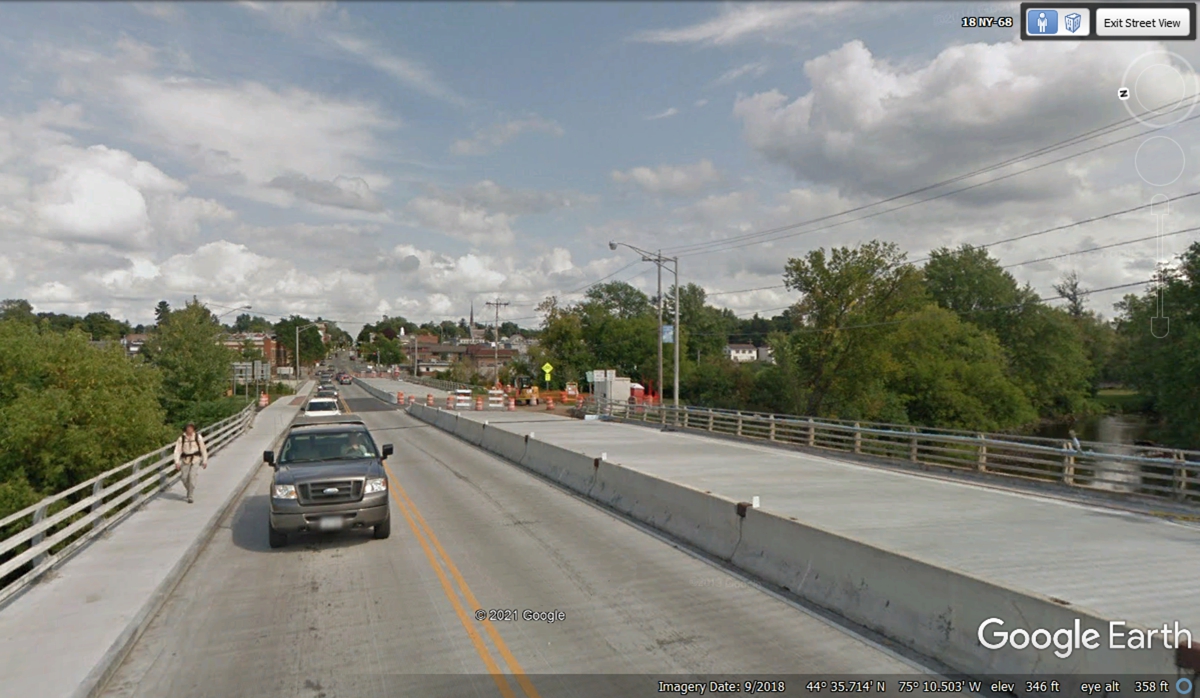
The bridge construction created a traffic jam up the hill since only one
lane was open for each direction across the bridge in 2018.
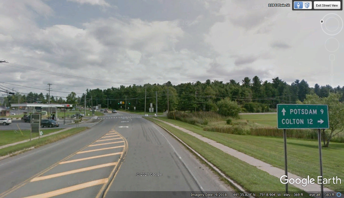
This sign on the north side leaving the town of Canton gives the mileage
to the next town on US 11. It is another of those towns named for European
cities, Potsdam, NY.
| RETURN TO 2021 VACATION MENU |