October/November 2021 Vacation Day 7 · · PAGE 20.
November 1, 2021: Some of the towns are
not that far apart. Each one has a different feel to it. The one
thing they have in common is a natural source of water. If that
sounds familiar, it is because I started the previous page with that same
sentence. This is Potsdam, NY seen in this image.
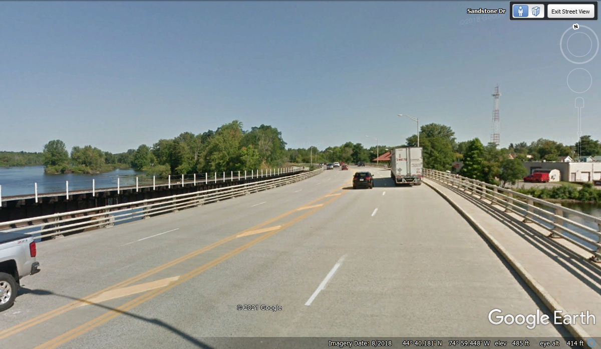
The Raquette River passes through Potsdam, NY. This is the newer US
11 bridge for Potsdam passing over that river. The older bridge over the
river is seen in the image above.
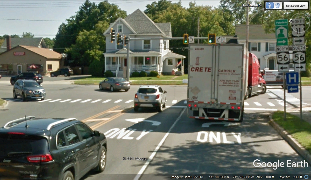
Since the new bridge was built north of the old one, this right turn on NY
route 56 takes the US 11 traffic a couple of blocks south to connect to the existing
US 11 route going north..
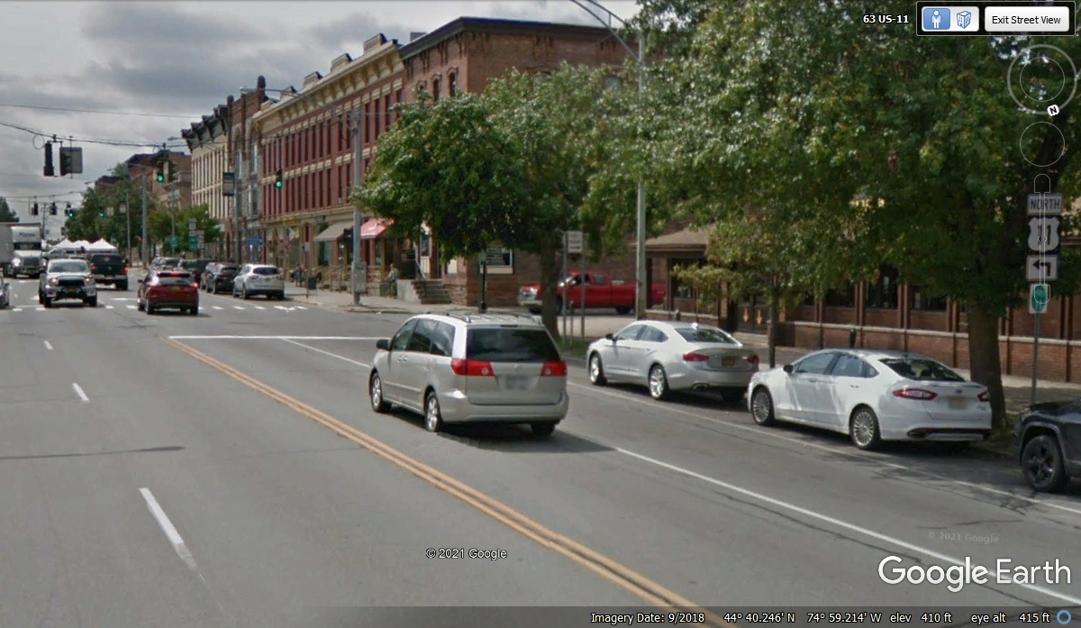
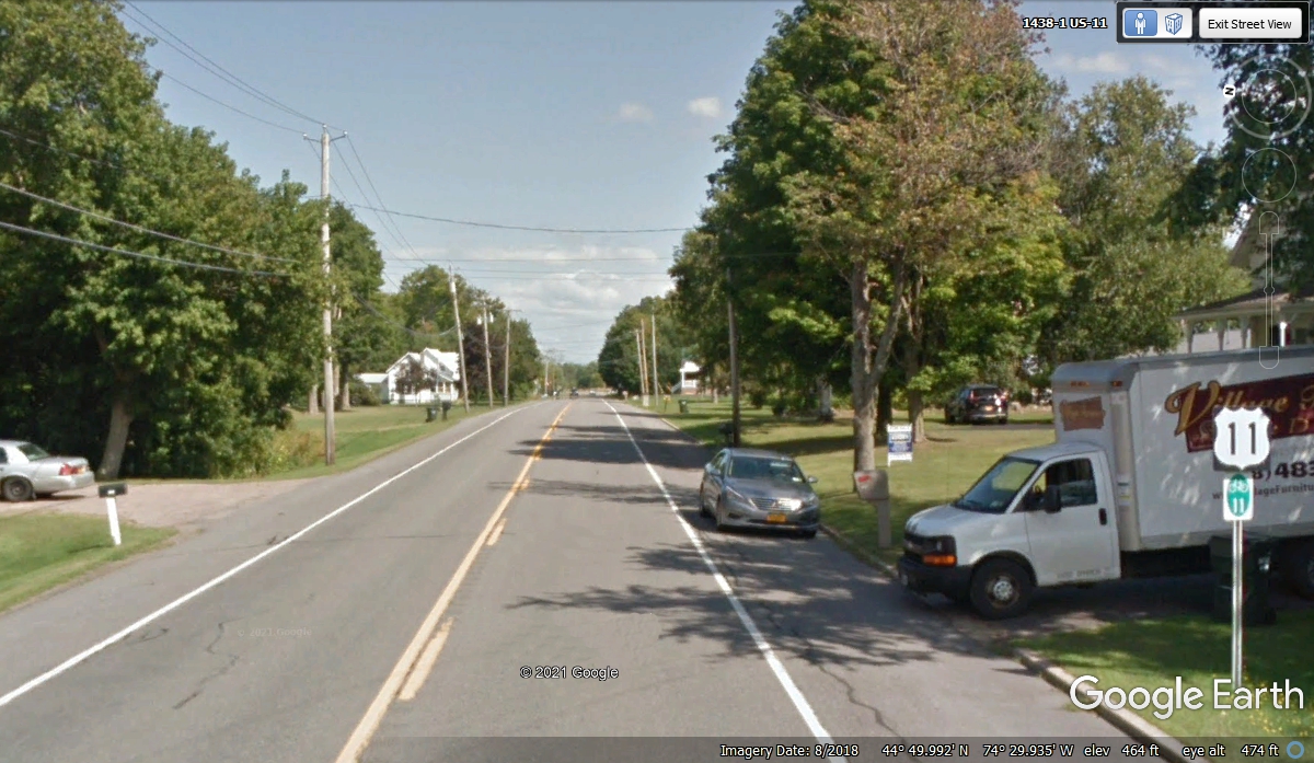
US 11 is going toward the original route on Market Street.
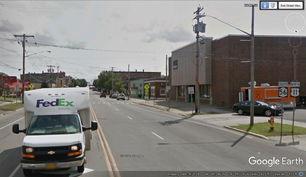
US 11 turns LEFT one block ahead at the SECOND traffic light, not
here as this street comes from the right and ends here. The largest
buildings are here on Market Street.
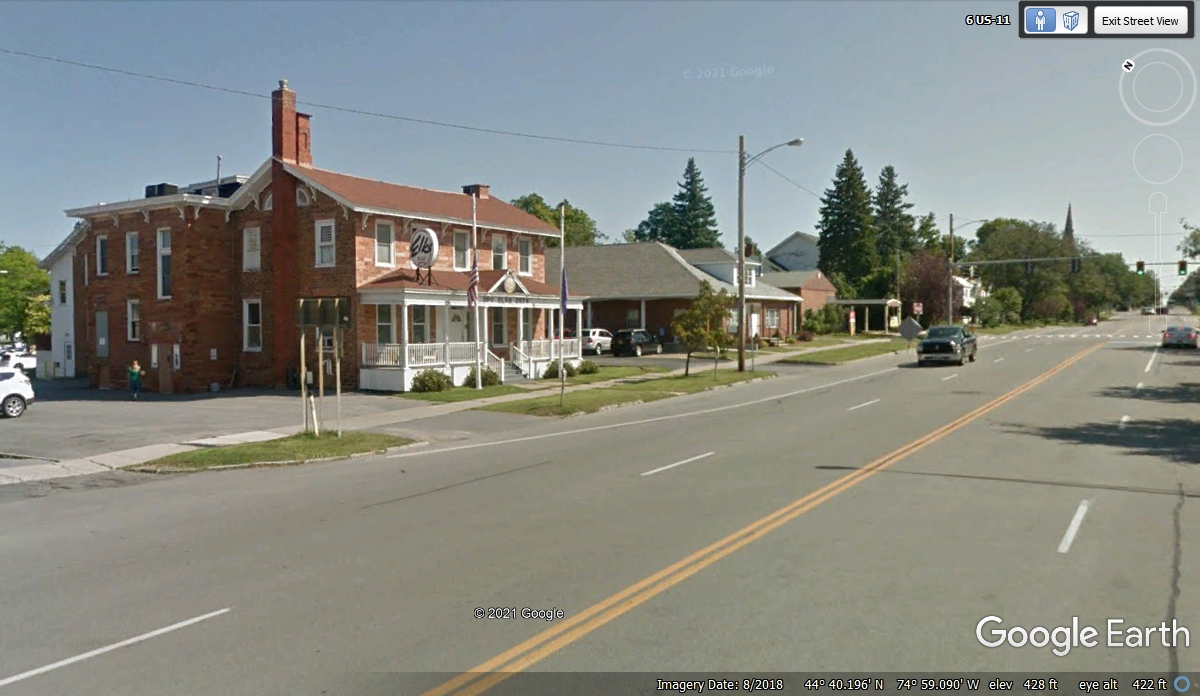
Just one block East from Market street, the buildings are different as you
can see here. The Elks Club is in that building on the left.
US 11 turns northeast at this intersection, while NY route 11B continues
due East.

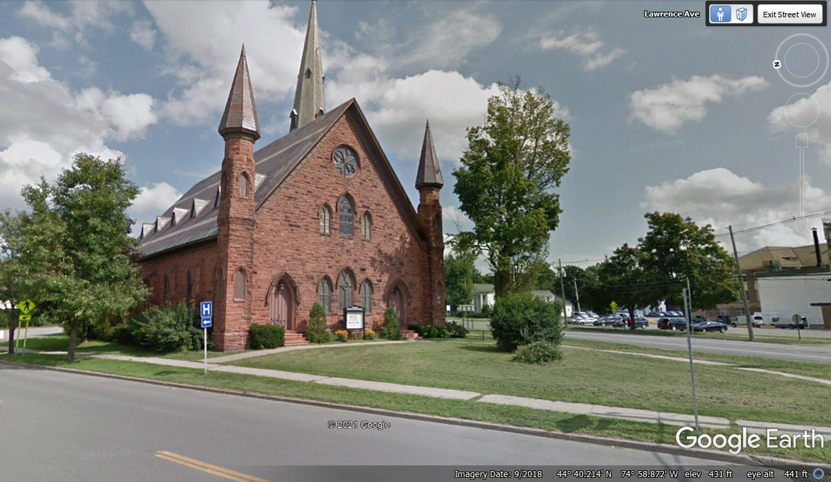
This is the Presbyterian Church on the corner US 11 and Lawrence Avenue.
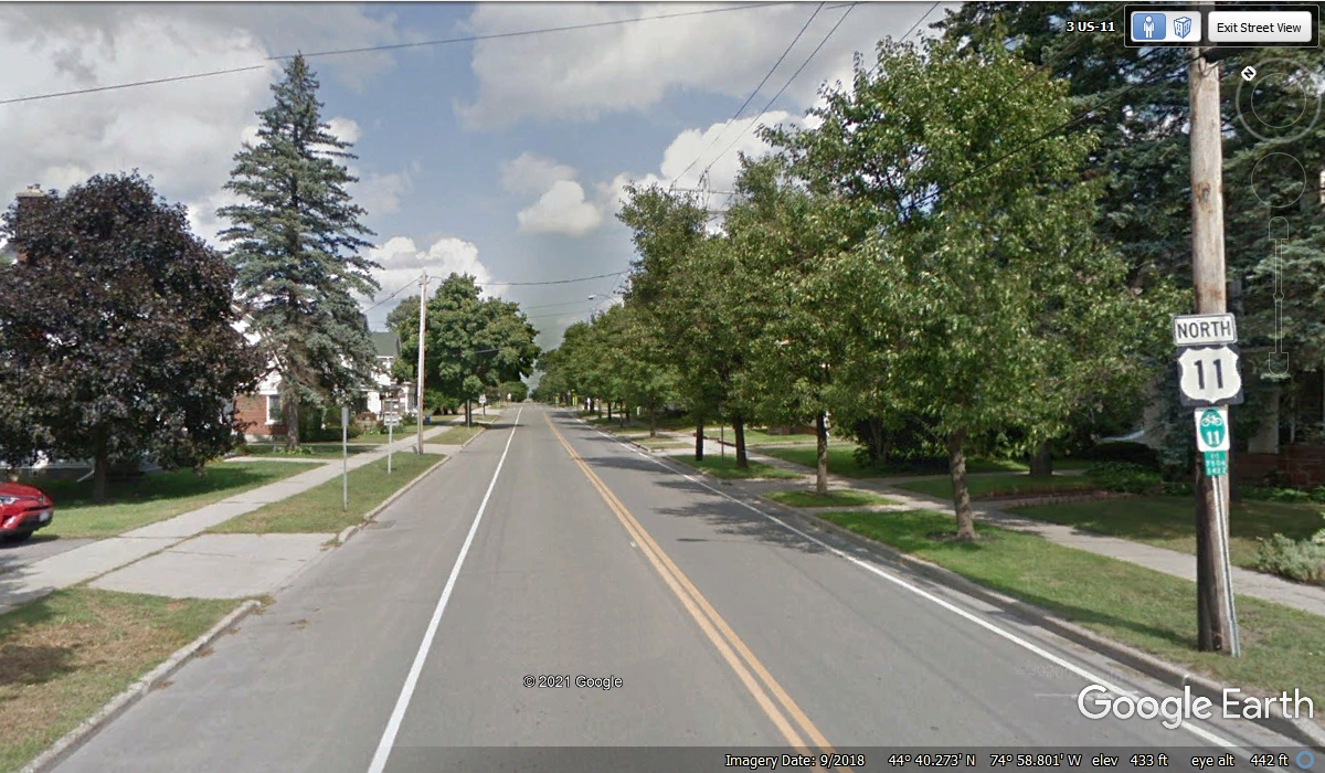
Residential neighborhoods are the path out of town for US 11 North on a
northeastern heading from here.
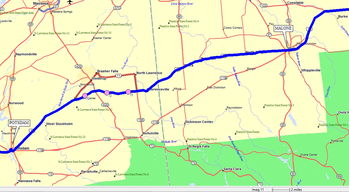
Here is my old digital map showing the possible routes from Potsdam to
Malone, NY. The three pink dots are following the shortest route of 7.6
miles via NY route 126, bypassing the town of Brasher Falls, NY. The BLUE
line is our GPS track downloaded to display here. The other alternative
route was from Potsdam via NY route 11B to Nicholville then to Malone. The
OLD US 11 going to Brasher Falls has been converted into NY route 11C with US 11
now following our BLUE LINE route seen here.
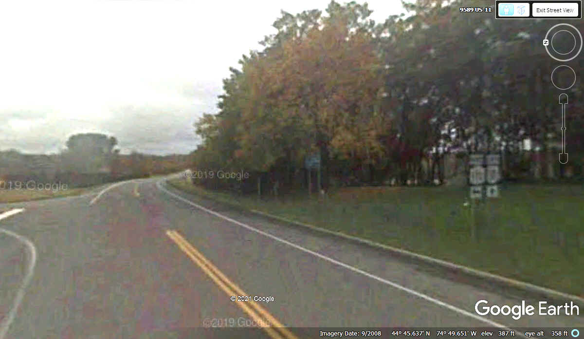
This Google Earth image is from September 2008 showing the current route
of US 11 we followed on November 1, 2021. The digital map above from my
computer is older. The image below was captured on a cloudy day, probably
late in the day. I had to adjust the contrast and brightness to get the
modified image seen here.
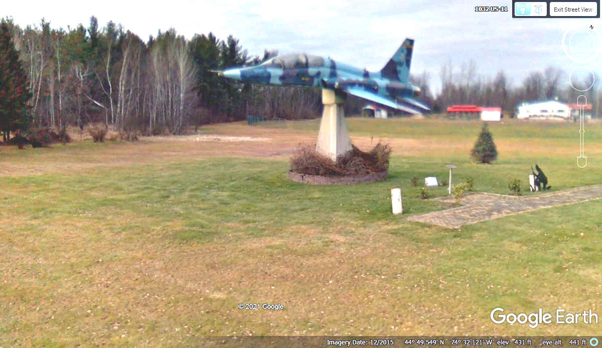
This F-5 jet trainer is at the corner of county road 17 and US 11 about
one mile west of the village of Brushton, NY.
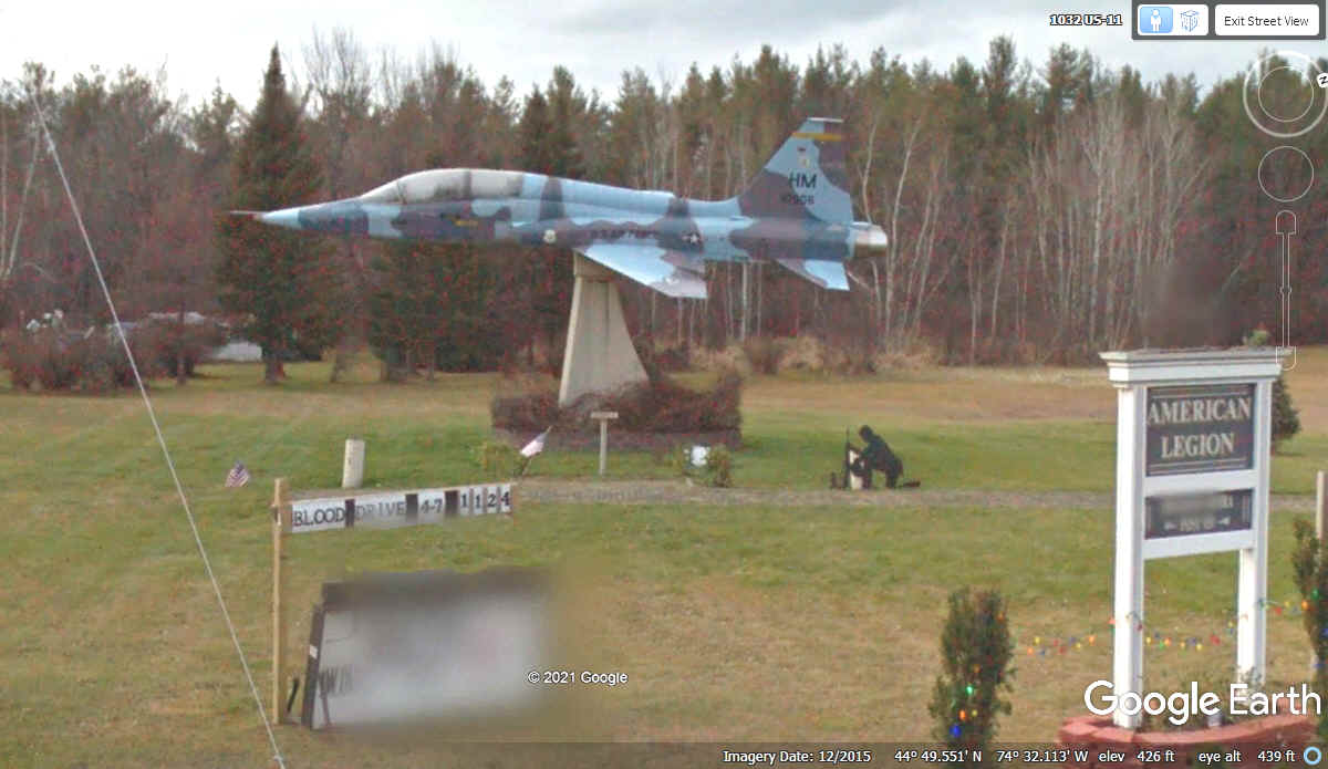
Here is a better view of the F-5 and the American Legion local chapter
sign. They sponsor this exhibit and the kneeling soldier for the missing in
action service people.
We have seen plenty of the Village signs since we came into New York
State. The village of Brushton has a nice restaurant near the center of
town, and several churches of different denominations.
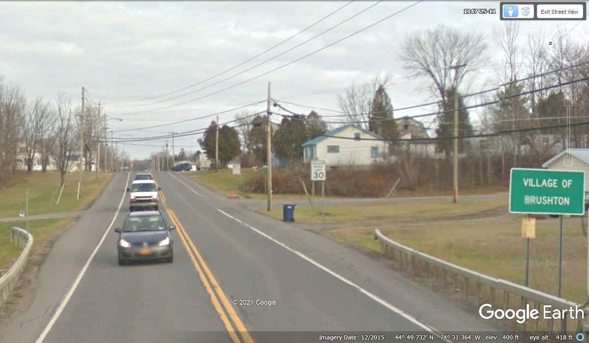
This US 11 sign was found just north of the other southbound traffic
"Village of Brushton" sign. This one is for traffic leaving the
village going north. Notice I did not use the term "city limits
signs" seen in larger towns and cities. The little green sign
indicates this road is safe for bicyclists on the paved shoulders.
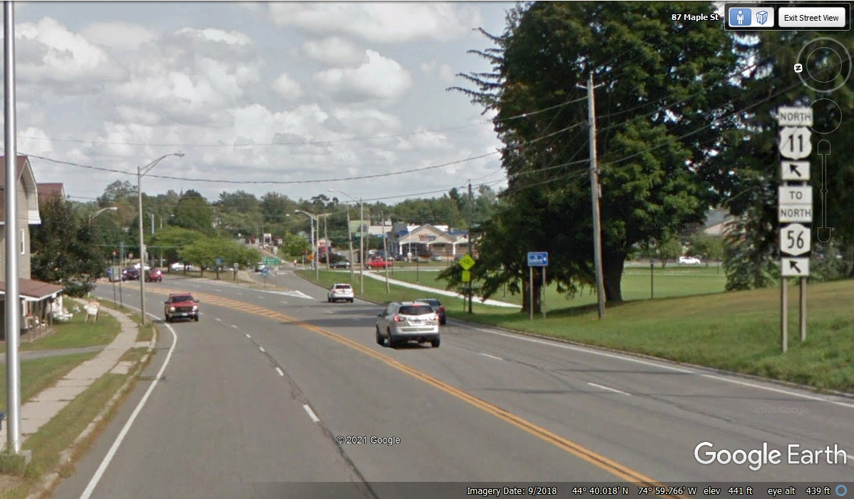
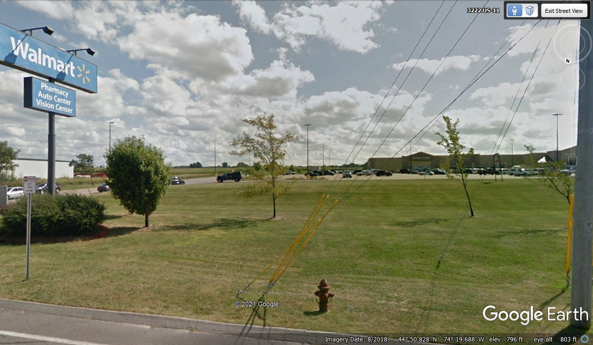
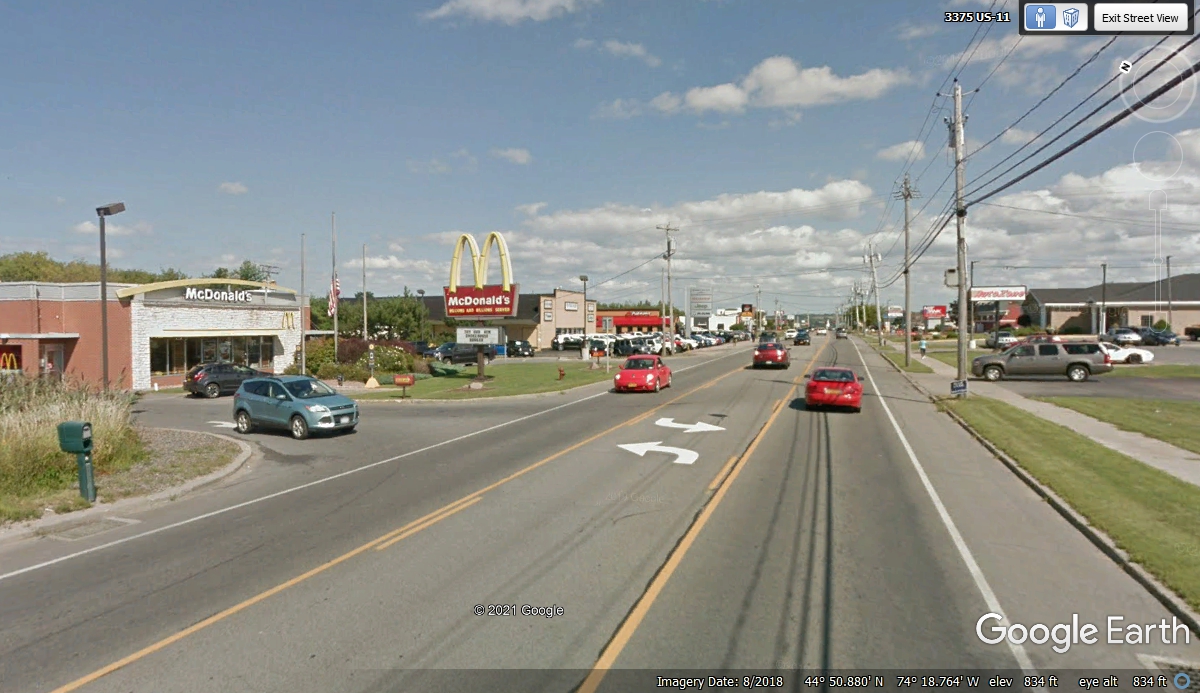
Where there is a Wal-Mart, you know you have reached a town bigger than a
village. This Wal-Mart is on the Western edge of the town of Malone, NY on
northbound US 11, which at this point is going on an Eastbound track.
From the beginning of our vacation, we have been calling out Dollar
General stores and the "other dollar stores" along our route. We
did not count them, just seeing them.
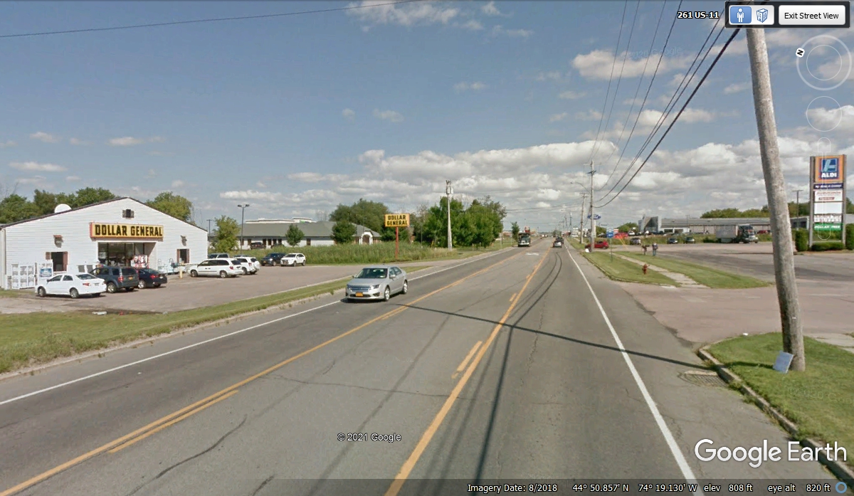
Finding fast food locations, car dealers, and car parts stores confirms
Malone is a city. And it contains a Village named Malone. Here is a
web link that gives the details of this situation https://en.wikipedia.org/wiki/Malone,_New_York
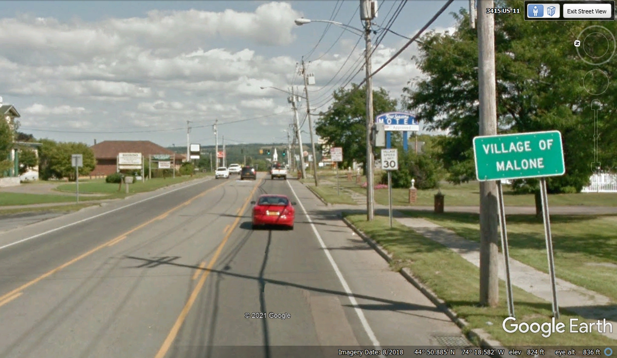
Here is the "Village of Malone" sign indicating we are getting
close to the center of Malone.
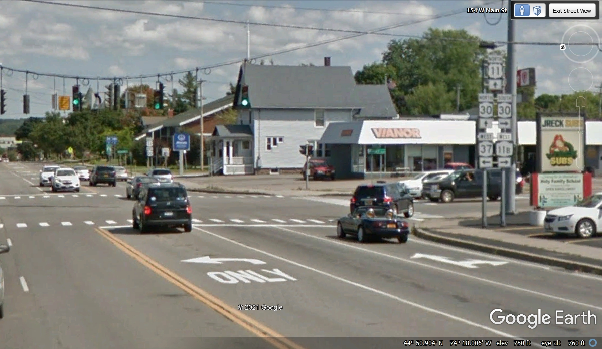
Remember me talking about the center of town is usually where all the
highways connect? Here we are near the center of Malone, NY.
| RETURN TO 2021 VACATION MENU |