October/November 2021 Vacation Day 6 · · PAGE 18.
October 31 2021: Sunday is now in the
last leg of our trip from Niagara Falls to our hotel room in Watertown,
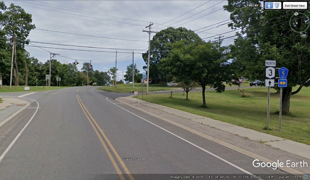
NY. We turned LEFT on NY route 3 north when exiting the Selkirk Shores State
Park This is the right turn here seen from NY route 3 to get on
County Road 5. It will take us to the small town of Pulaski, NY where we
will get on Interstate 81 going up to Watertown, NY.
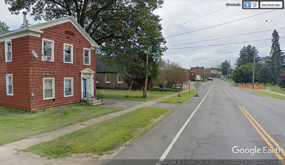
The countryside around NY route 3 has seen more farms, all along County
Road 5 heading for the small town of Pulaski. This image below shows the
transition from a residential area going toward the center of the town.
Notice the church hiding behind the trees on the left.
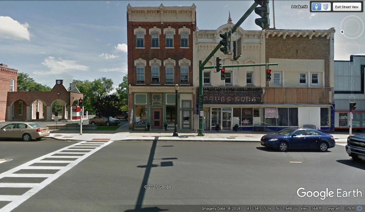
I was surprised when I did not see any route signs approaching this
intersection in the center of Pulaski, NY. Google Earth shows the address as
"One Lake
Street" where county road 5 ends at US 11 in the center of town. This image
from August 2018 shows the "DRUGS & SODA" sign on what was a drug
store with a soda fountain in the 20th Century. We came to this
intersection at 3:49 PM before we turned left and went two blocks north and headed
out to Interstate highway 81 going north.
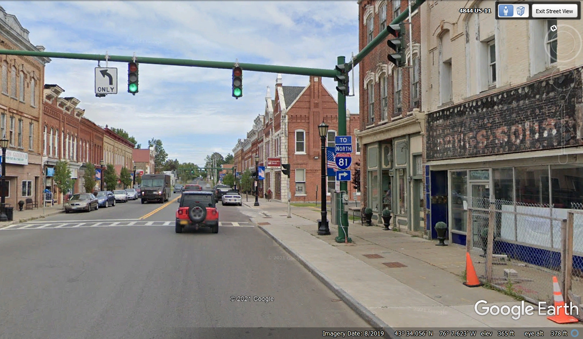
The US 81 sign says to turn right at the next intersection to get to the
interstate highway. The age of these buildings points back to the
beginning of the 20th Century. The old drug store with a soda fountain at
the right side of this image is getting a face lift. At least that was
the status in August 2019 when Google Earth came down the street gathering these
images. Compare this image below to the image above to see the difference
in the "DRUGS & SODA" signs from one year to the next.
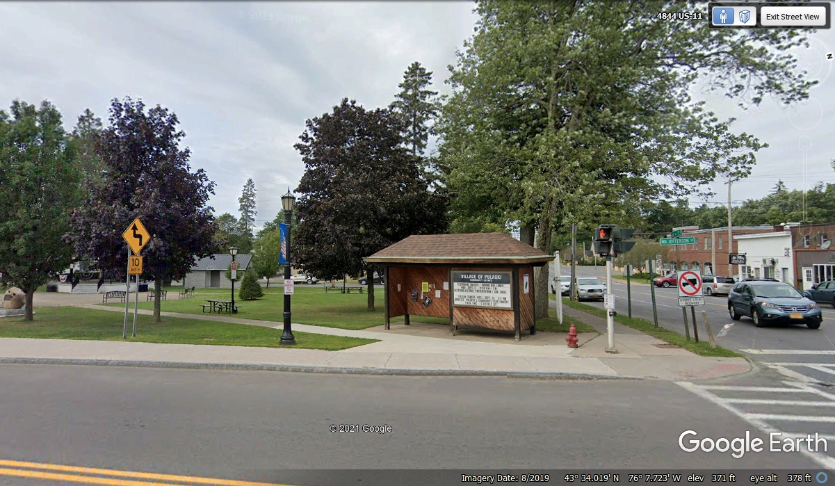
Looking around from the stopped position on US 11 shows a public park plus
county road 5 ending at the right side of the image.
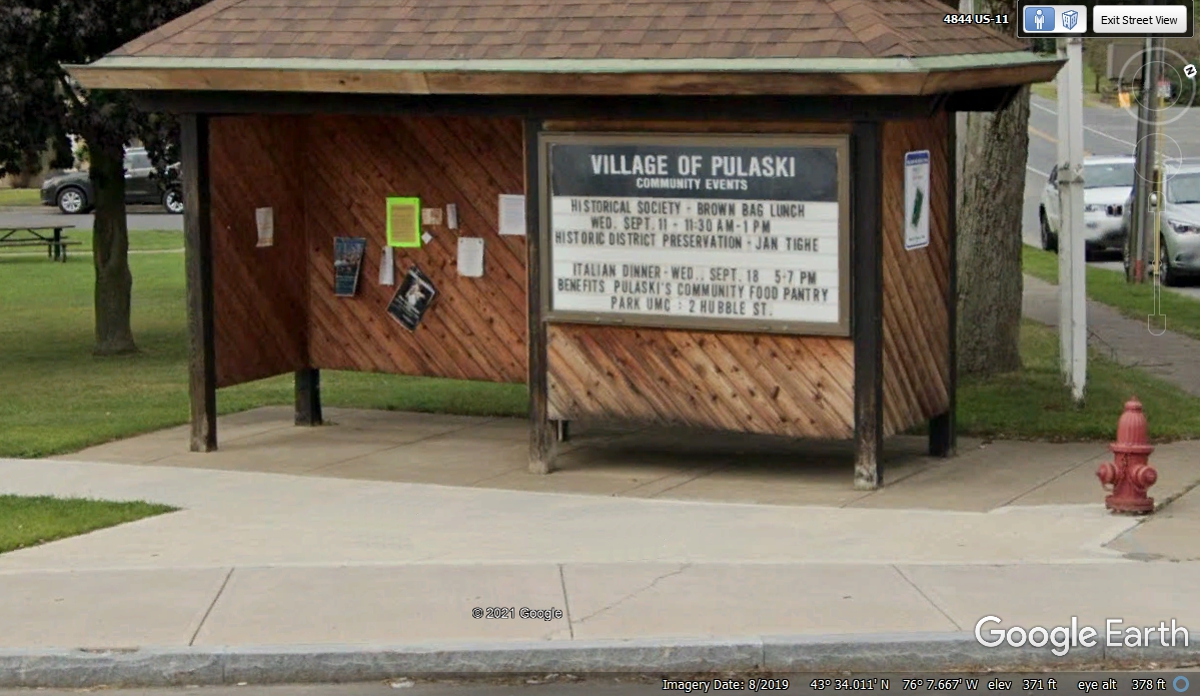
I used the zoom feature in Google Earth to get this readable image of the
Community Events bulletin board.
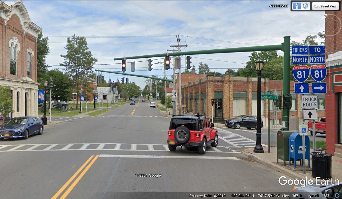
This image points the way to I-81 and shows US 11 continuing North beyond
the intersection. We turned right at this intersection and went over to
I-81 northbound.
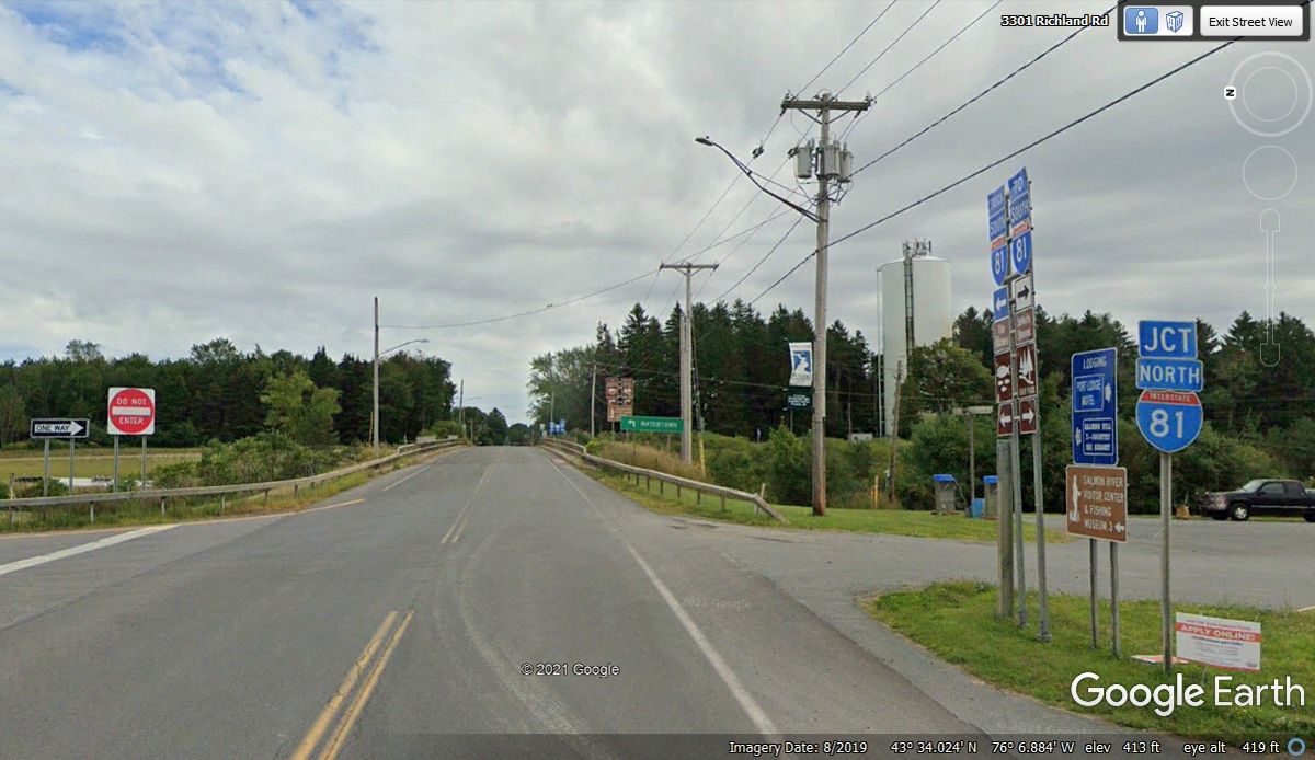
From this I-81 junction at Pulaski, NY to the exit at Watertown, NY is
about 30 miles.
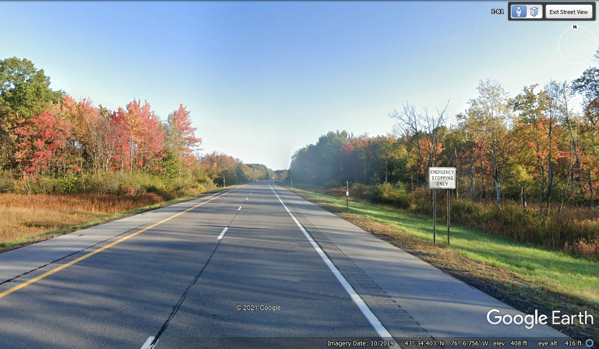
It seems Google Earth prefers to use images with bright fall colors in these
northern states. Our trip was planned to be on these routes during the
Fall Season. We saw pretty much what we are seeing in these Google Earth
images from October 2019. The GPS shows us on I-81 north at 3:52 PM
heading up to Watertown, NY for our hotel tonight.
This is ramp where we get back on NY route 3 to go east into the center of
Watertown.
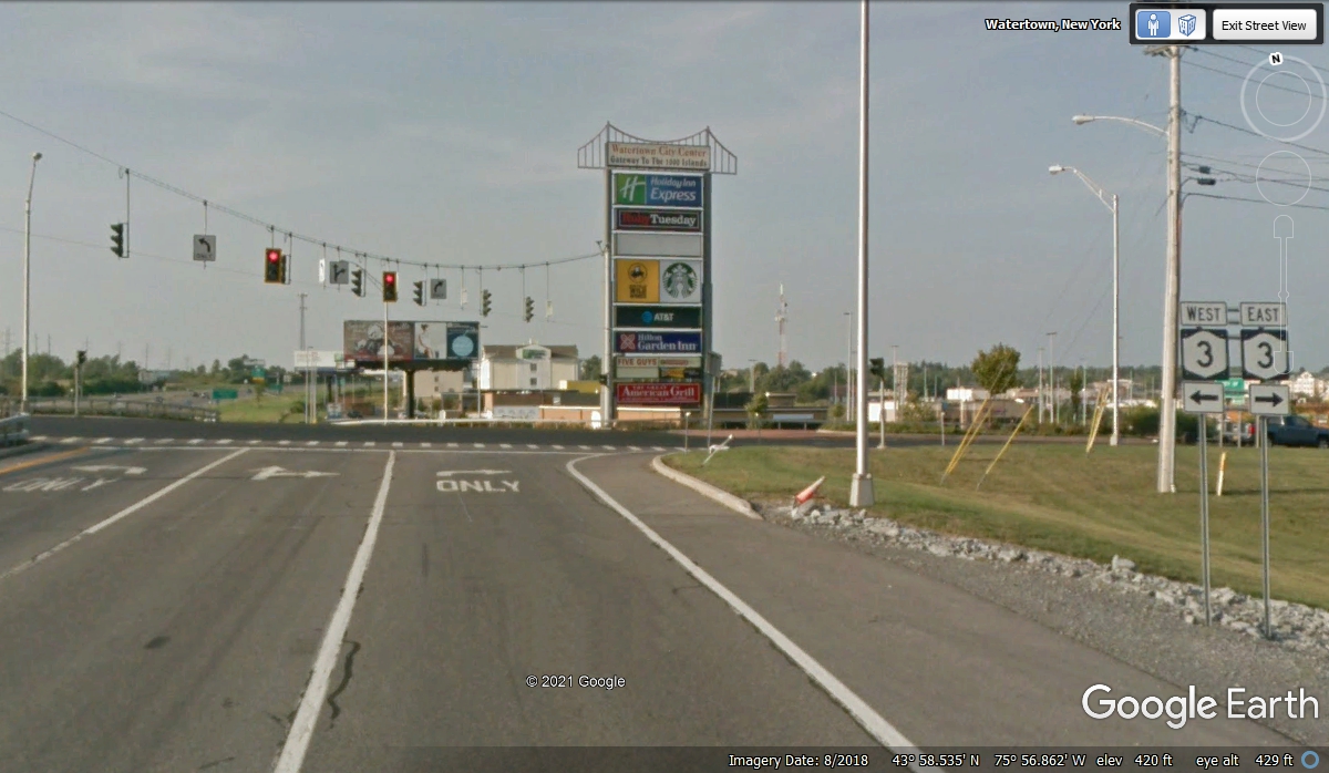
Heading East toward the center of Watertown on NY 3 with traffic lights,
gas stations, etc. This is the largest town in upstate New York.
When you search Google Earth, this is the intersection you see as this
literally is the center of town.
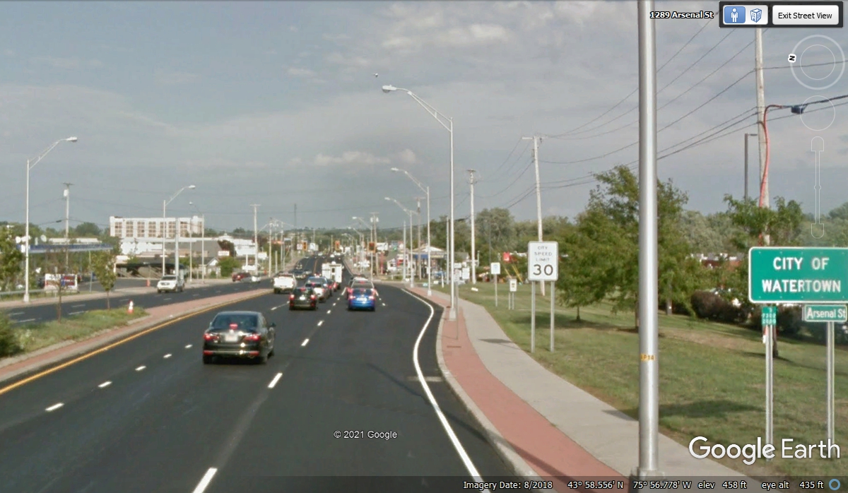
Following US 11 South from the intersection seen in the image above will
bring us to this Best Western Hotel seen here. We arrived at 4:25 PM.
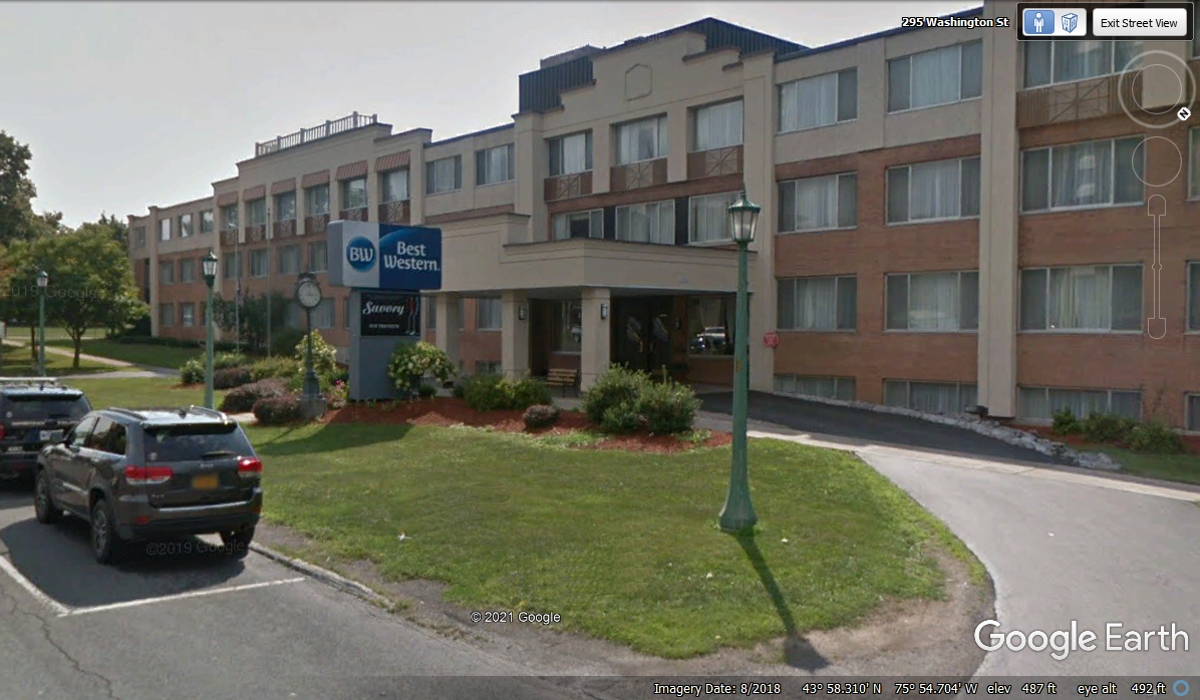
That doorway on the back side of the hotel from the lobby has handicap
access that made it easy to get our rolling suit cases in and out of the car and
the room on the second floor via the elevator. The full breakfast was a
good way to start the day when we departed on Day 7 of our vacation.
| RETURN TO 2021 VACATION MENU |