October/November 2021 Vacation Day 2 · · PAGE 3.
October 27, 2021: The
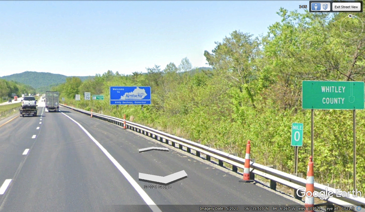
Kentucky state line is less than a mile north of Exit 160 in Tennessee.
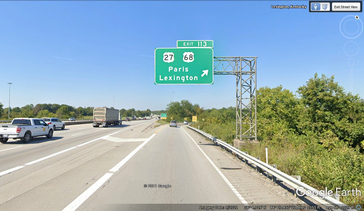
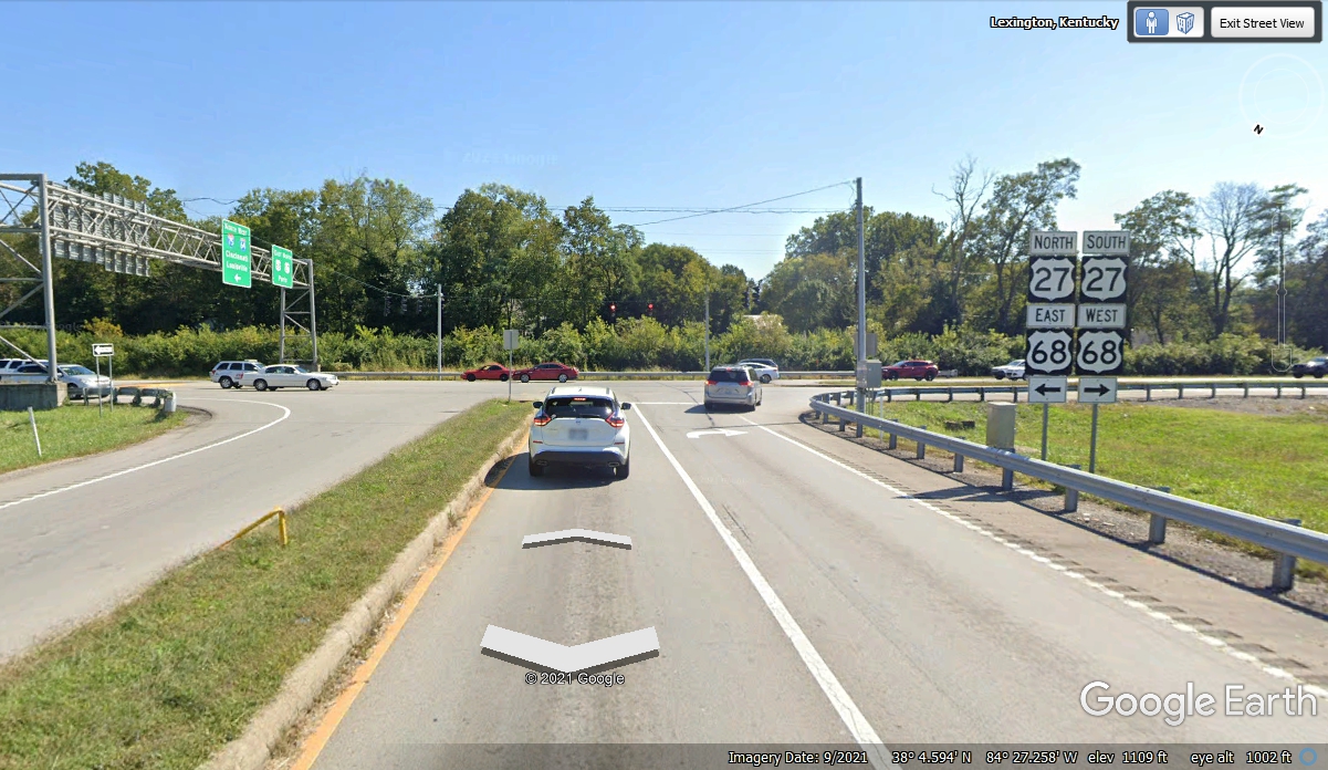
Our next exit will be at US 27, US 68 Northbound from I-75 at Lexington, KY.
I have been up I-75 many times to get to Lexington, Kentucky and beyond
since the 1970's. Some extra lanes have been added over the years, but the
scenery is still the same, rolling hills with the interstate highway blasting
through the high parts of those hills when the road was first built.
Today,
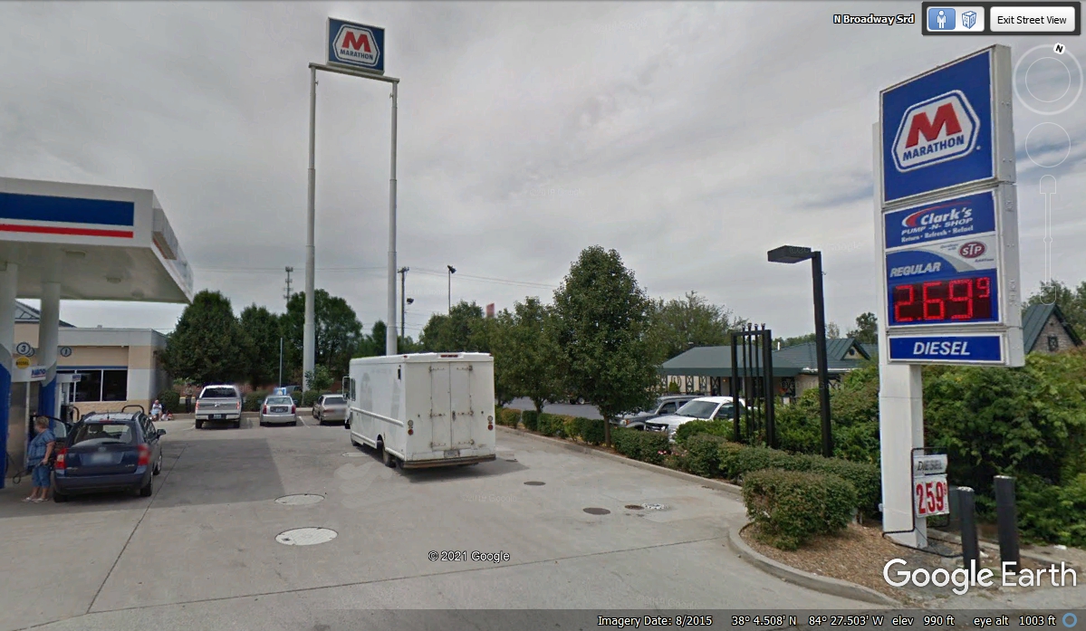
our first stop in Kentucky is a comfort stop for all three of us in the car.
We turned right at the end of this ramp to get to the Marathon station on the
West side of I-75.
This Marathon station is on the "inside" from I-75 passing the
EAST side of Lexington. There was plenty of grass below the tall
Marathon sign. We were alone in that space when Chase took his turn at the
trees and bushes. A couple of other dogs and their masters came here
before we departed. We did not need to buy fuel here.
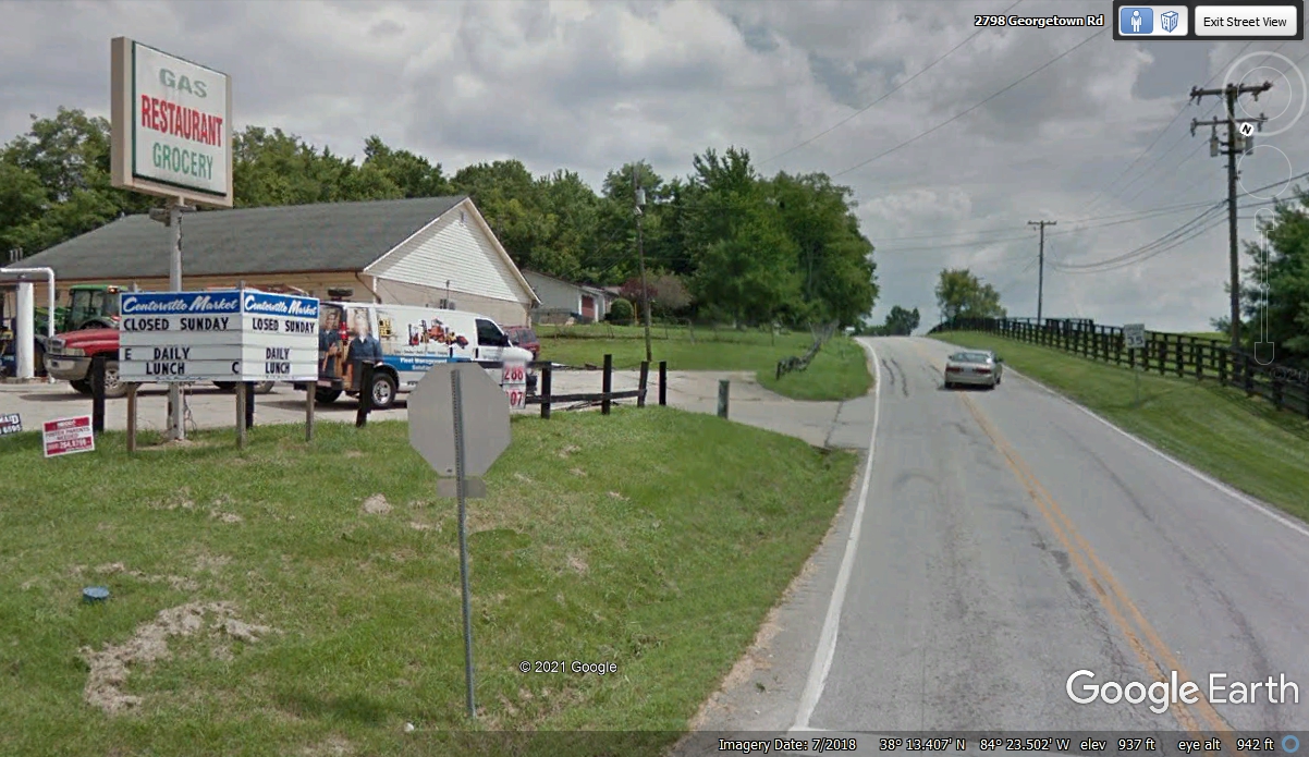
A few blocks behind the Marathon station is a neighborhood street running
parallel to I-75 that connects with Russell Cave Pike, which is Kentucky state highway 353 going
north through horse country. I have been this way several times over the
years. Natural sights can be very good indeed along this Blue Grass
country road depending on the time of the year.
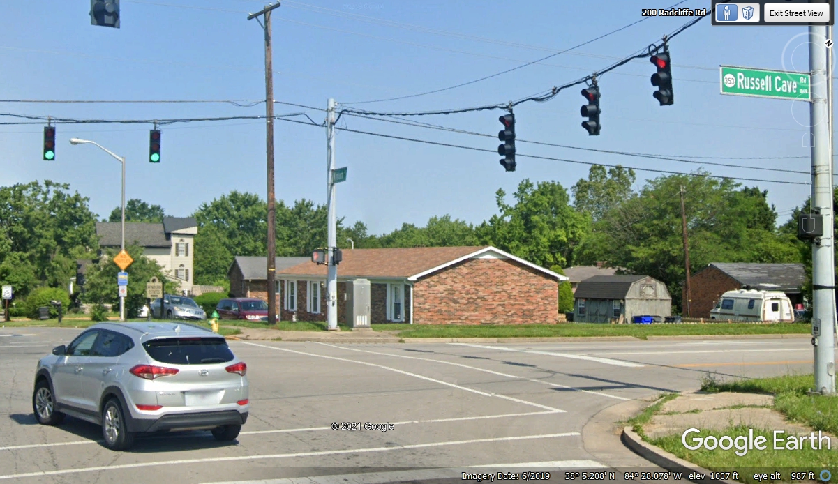
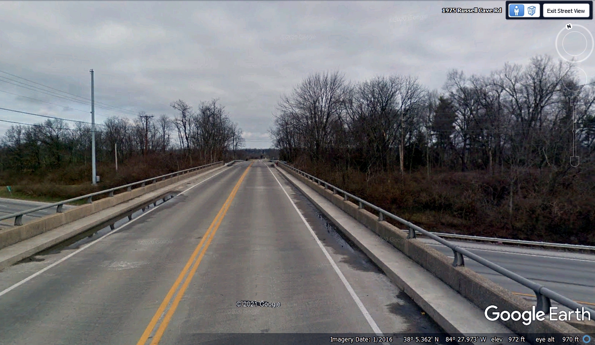
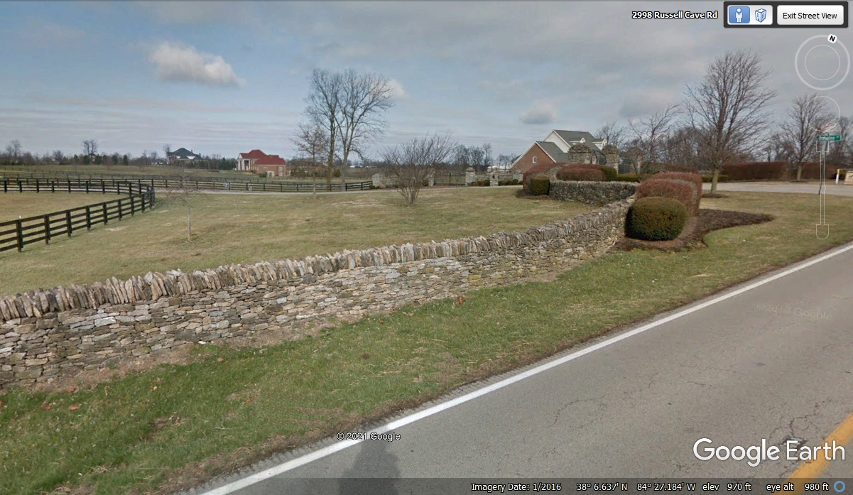
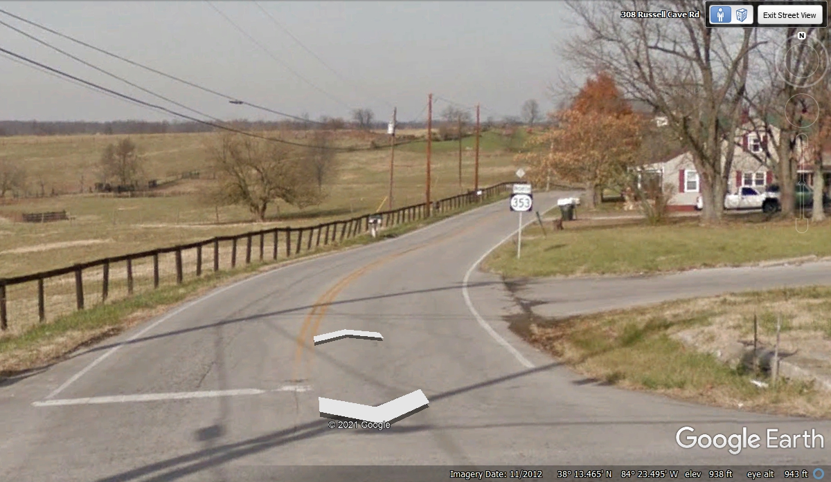
The road going north crosses I-75 just a short distance from the
neighborhood intersection seen in the photo above. The Google Earth image below was
taken in January 2016.
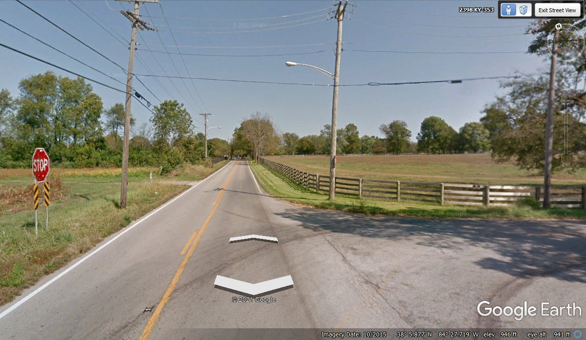
This image from October 2015 shows some color before all the leaves fall.
I have passed this way in the summer when everything is GREEN!
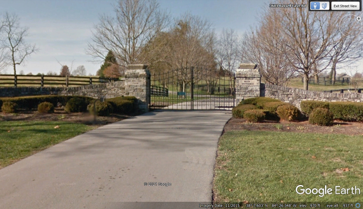
I have made a number of trips up this highway since the 1970's. I
have seen changes to the fences, gates, and rock walls. I went by
this place when the gate posts were closer to the highway and noticed a couple
of teenagers standing on the top of these rock gate posts. One girl and one boy
were posing as "Statues" for passing cars. That was a warm
summer day when everything was a lush green in the trees and the SOFT Kentucky
Blue grass. My wife and I took off our shoes and walked barefoot in that
grass in the 1990's.
Here is an example of the rock walls with no mortar between the stones.
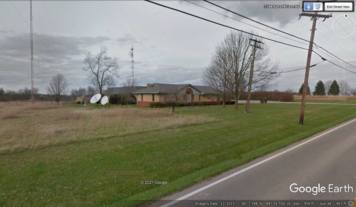
This studio and transmitter facility has three satellite antennas on the
south side of the buildings.
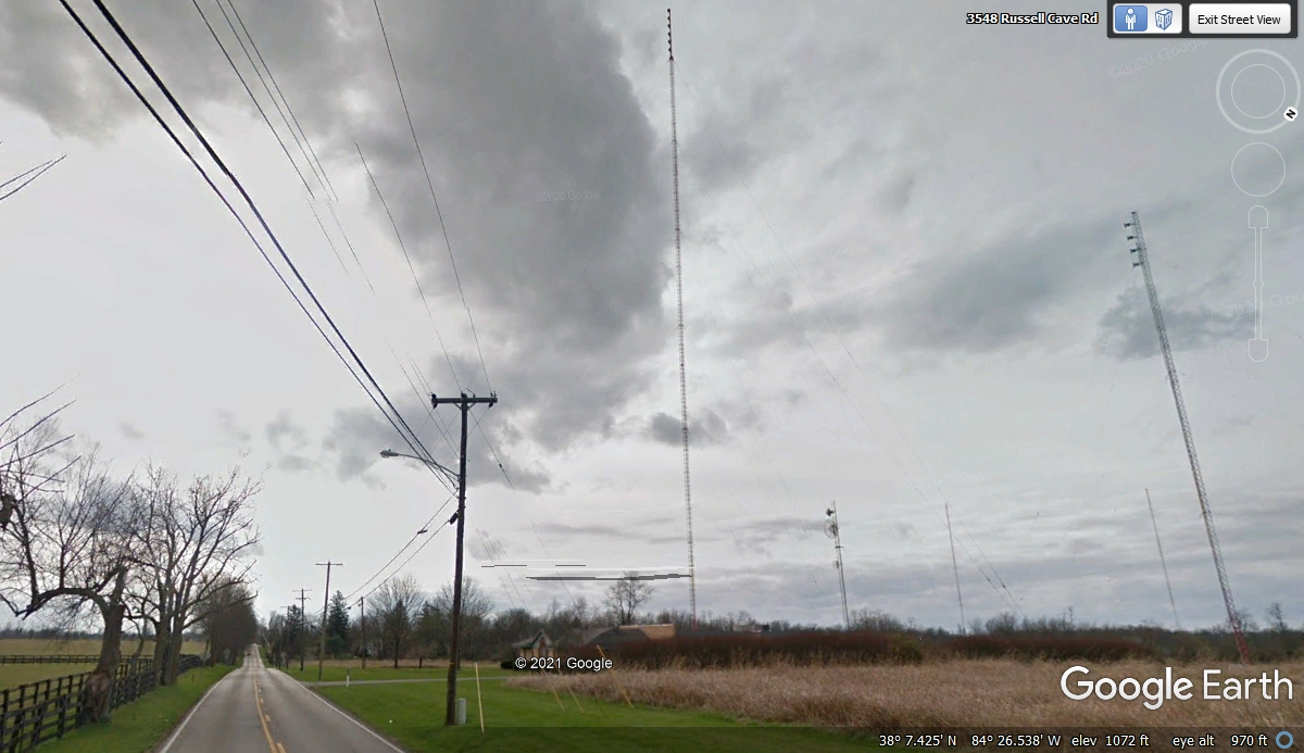
This place is an AM, FM and TV transmitter location. The television
transmitter tower is the tallest one. The FM radio transmitter antennas
are near the top of the tower at the right side of this image. The two
shorter towers with no attachments are the AM radio antennas with a directional
broadcast pattern created by the distance between them. The shortest of
the towers with dish antennas are used as studio transmitter links (STL).
This area has higher ground than the city of Lexington and makes a better
antenna site for signal coverage over a wider area.
There is a point along KY 353 where it crosses US 460 coming from
Frankfort, Kentucky heading EAST to Norfolk, Virginia. Even if it is a US
highway, it has that look and feel of a quiet country road.
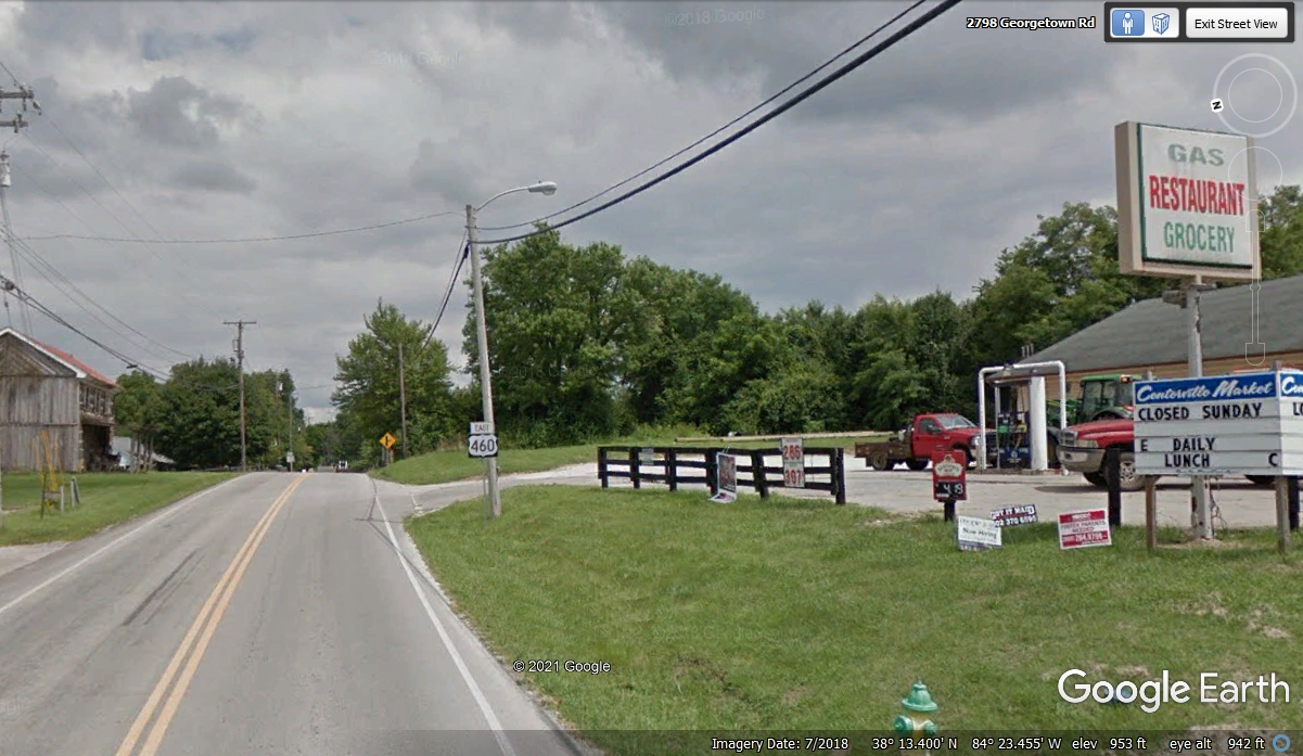
Here is KY 353 coming from the south to this 4-way stop with US 460.
This Google Earth view is leaving US 460 behind going North on KY 353. We continued
North heading for Cynthiana, Kentucky on this day, October 27, 2021.
| RETURN TO 2021 VACATION MENU |