Calcutta, India to Bangkok, Thailand · · PAGE 11.
April 7, 1964: Her ride to the airport located at the town of Dumdum this morning was a ride I have taken myself. She commented about seeing well-to-do society people at the Aero Club airport reception, shop keepers at the Bazaar, but began to understand the "caste system" when she saw the homeless people of the lowest caste sleeping on the streets. I had seen those same sights when I rode in a taxi to the airport in 1982. I saw a man wearing only a loin cloth bathing in water at the curb next to an open-air market. There were cast-off parts of the vegetables stepped on by everyone creating a "mushy" area. I also saw cows walking slowly in the middle of the main road in Dumdum. The taxi driver blew his horn at the cows and other taxi drivers he knew as we went down the wide boulevard toward the airport. I remember the distinct sound of his horn which reminded me of a donkey braying.
Jerrie thought about the abrupt change when she arrived at the airport, a place that is familiar to her anywhere. She described the usual third-world bureaucracy and going from office to office to get documents stamped before departure. She had a nice young man in a white uniform with gold braid to escort her through all these places, which seemed to help motivate the officials she dealt with. Jerrie told her escort about a typical general aviation airport with hundreds of small airplanes in the USA. When she said how easy it is to get airborne quickly, he looked at her with total disbelief on his face.
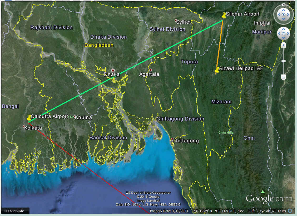
She departed Calcutta Airport and crossed the border between India and East
Pakistan (now called Bangladesh) shortly after takeoff. The border was just over 40
miles to the southeast of the airport. She described the change in landscape to
jungle canopy due to all the water coming down the Ganges River via all its branches as it
meanders to the Bay of Bengal. She crossed only 60 miles of jungle and marsh land
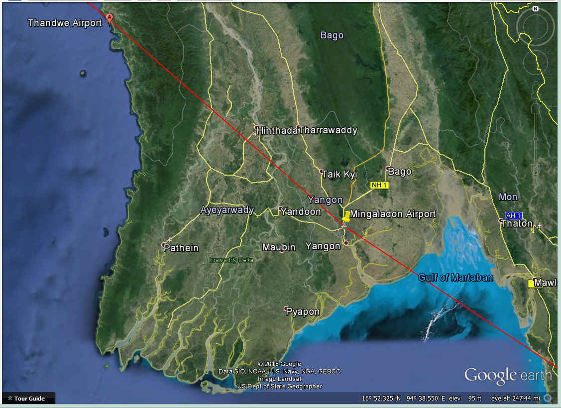
before she flew out to sea heading for Burma. The RED line below is her route of
flight heading for Burma and Bangkok. The GREEN line is my 325-mile flight on a 737
from Calcutta to Silchar, India in 1982. The ORANGE line was my first ride on any
kind of helicopter. It was Russian-built and used by the Indian Air Force. The
ride was only 80 miles down to Aizawl (pronounced ai-jawl) in the Indian state of Mizoram
(land of the mountain people). I made that business trip when I was in the
commercial satellite business.
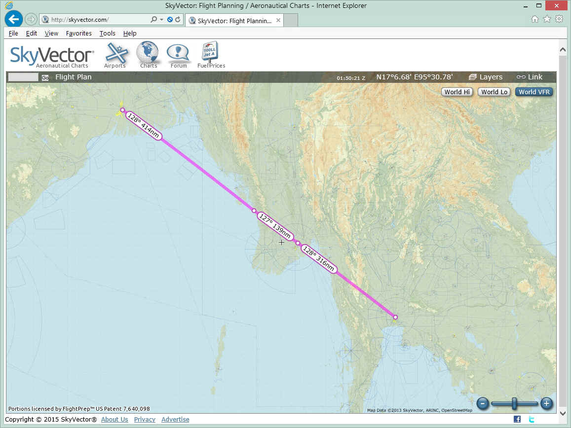
Calcutta, India to Bangkok, Thailand (Siam) was the flight where she was
approved to fly over Burma, but not to land. The course was pretty much a straight
line with only two intermediate waypoints.
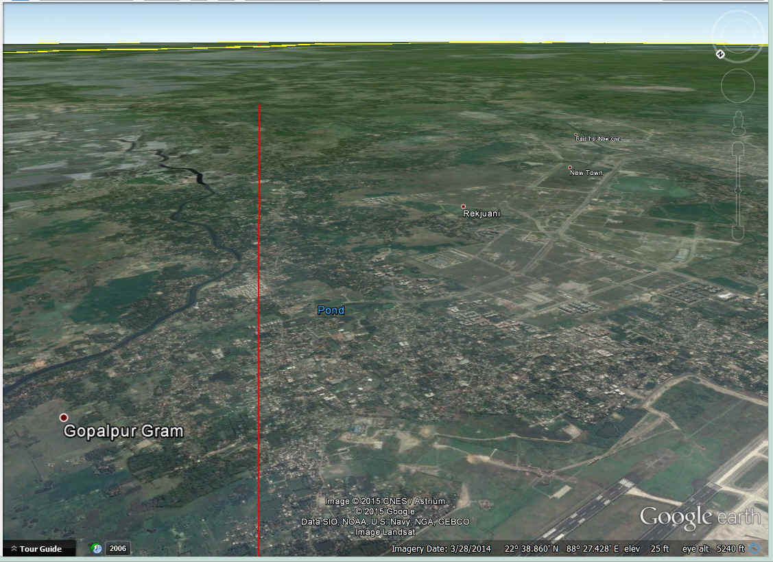
This Google Earth image looks southeast from above the Calcutta Airport.
The RED line is Jerrie's departure course. There appears to be a modern commercial
warehouse and manufacturing district to the right of the course line with a four-lane
highway. Instead of having a clover leaf overpass, that intersection is large
traffic circle or as the British would say, "round about".
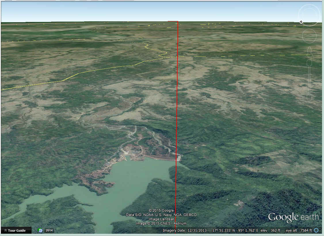
The end of the Ganges River is in sight as she approaches the (yellow) border
with East Pakistan. The landscape is turning from farmland to marsh land and most of
this area is less than 20 feet above sea level.
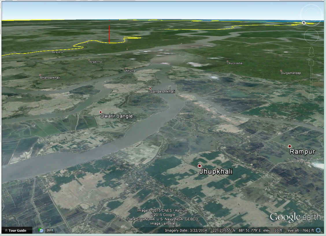
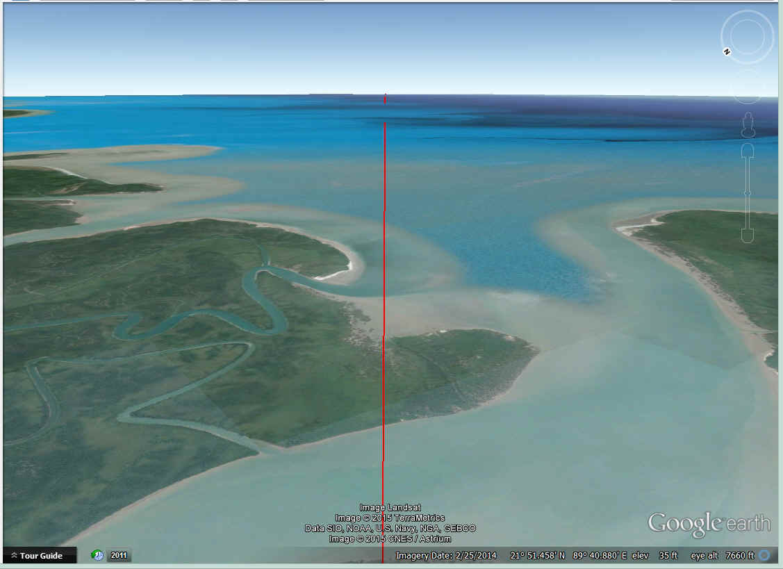
Jerrie crosses one of the parts of the Ganges River as it reaches the Bay of
Bengal 100 miles from the Calcutta Airport. The jungle area leading up to the coast
was where she saw her "first real trees" since leaving the Azores. Her US
Air Force friend in Ohio had mentioned the weather in the Bay of Bengal can be very bad
sometimes. On this part of the trip, there were no storms, and any clouds were below
her, or she easily bypass any that came up to her cruising altitude or above.
Jerrie crossed the coast line of Burma at the Mazin airport since it had a
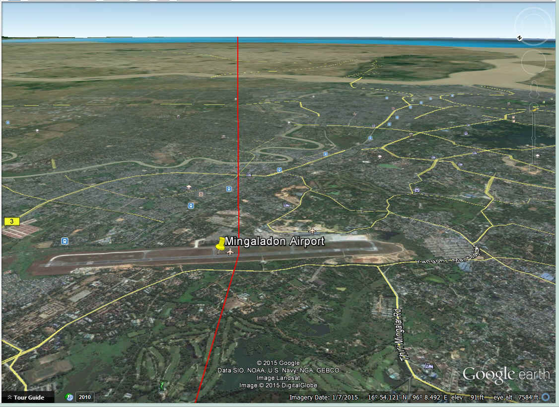
radio navigation beacon. Her second waypoint between Calcutta and Bangkok was the
Mingaladon Airport north of the capitol of Rangoon. The course is nearly a straight
line from Calcutta.
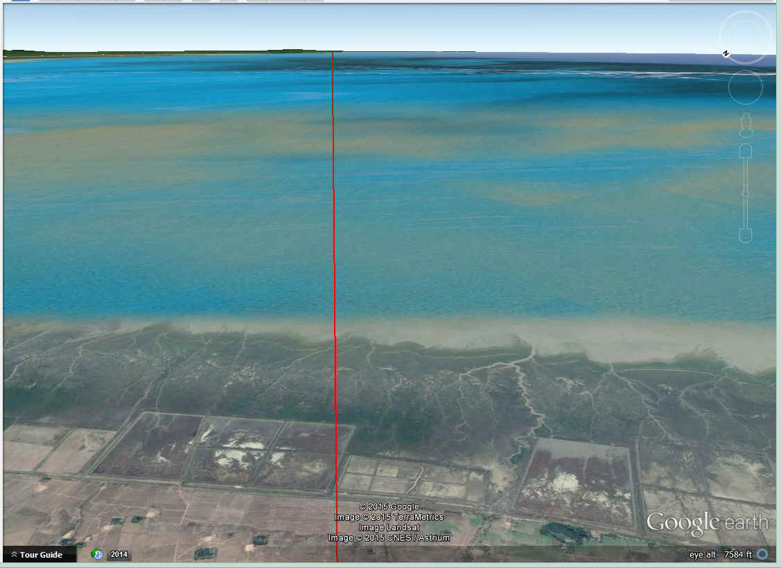
She comes ashore in Burma from the Bay of Bengal at Thandewe Airport.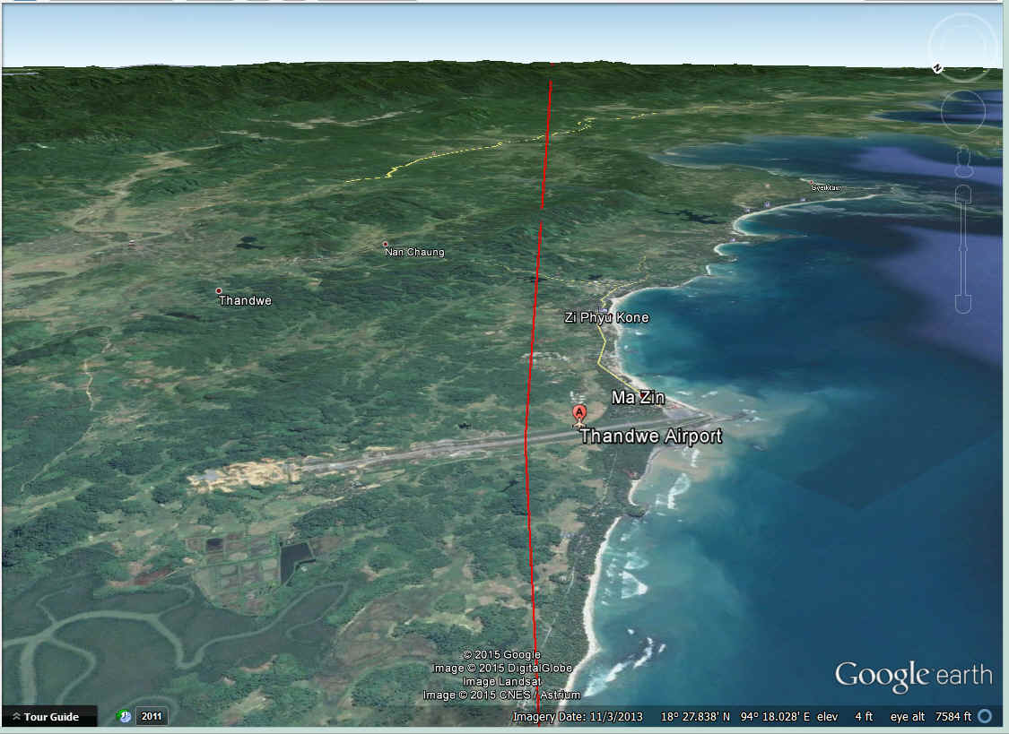
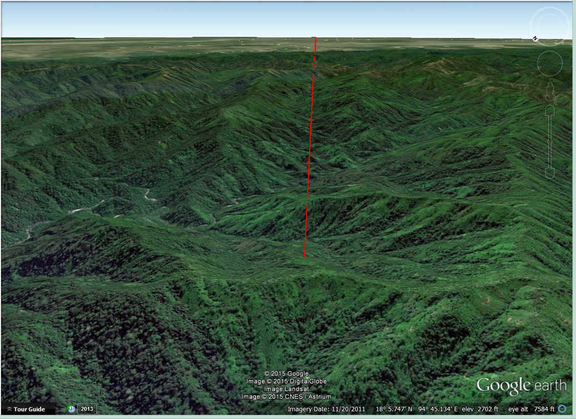
She comes to this mountain range with peaks that are above 5,000 feet as she
heads for the low lands that have the Irrawaddy and Rangoon Rivers running from north to
south in Burma.
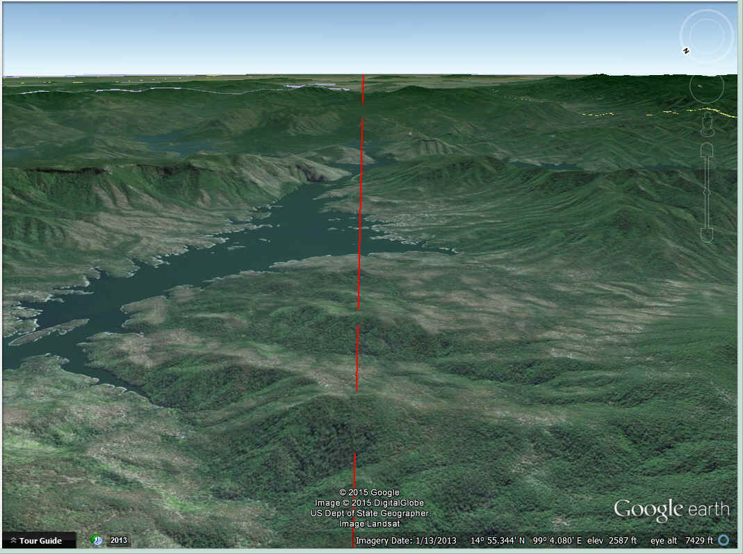
Lakes and rivers are plentiful in the central valley,
Mingladon Airport serves Rangoon, the capitol of Burma.
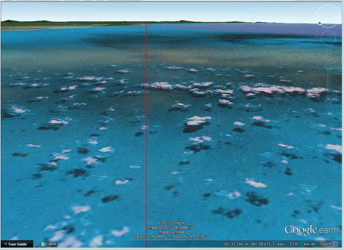
The Gulf of Martaban is bordered on both sides by Burma. The Andaman Sea
is to the south and defined by the Maylay Peninsula.
At the other side of the Gulf of Martaban is another 60 miles of Burmese
territory before reaching the border with Thailand.
Thailand has some mountains on her route that topped out above 5,600 feet.
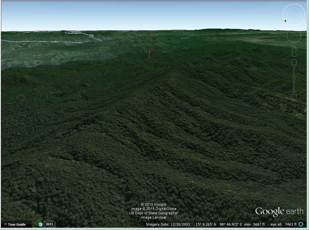
Further to the southeast, the mountains had lakes between them and were not
higher than 3,000 feet.
After the real mountains, there was farm country with some hills that were not
above 1,000 feet high.
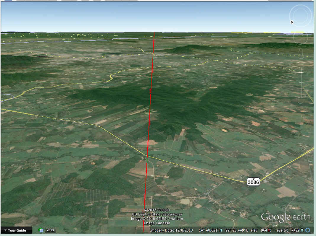
The remaining few hundred miles of the flight today after the mountains was
farmland and rice paddies on low ground all the way to Bangkok.
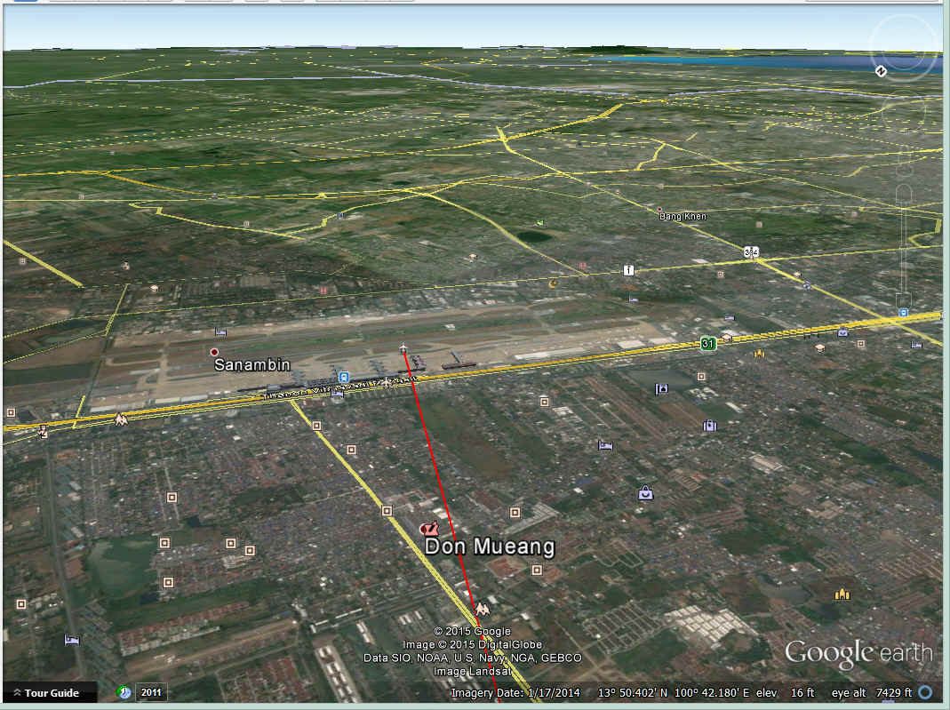
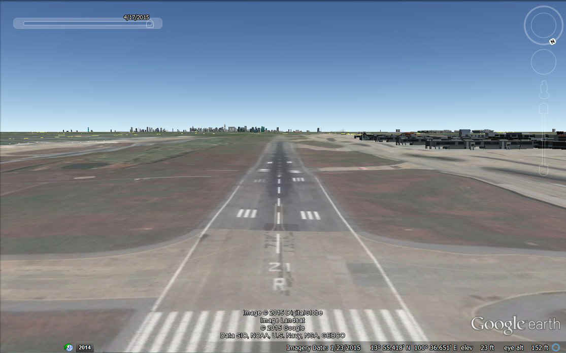
Finally, touchdown at Bangkok on Runway 21 Right.
It was hotter in Bangkok than it was in Calcutta. Jerrie commented on how much she was sweating before she got the airplane parked on the ramp at Bangkok. Two fuel trucks met her immediately and she took advantage of that good fortune. "A photographer met her and with him were Mr. and Mrs. Bundit Watanasupt, some friends of Margaret and Keith Tyler. Mrs. Watanasupt was the public-relations director of Radio Thailand." They were very helpful since they spoke English very well and helped with translations. After that, it was the usual paperwork. There was a little time to see some of the city, have dinner, and get to the hotel. The details are better if you read them in the book.
This segment is one of the flights you can experiece using GOOGLE EARTH. Go to the Google Earth Tour page on this web site to download the most current Jerrie Mock Flights ZIP file.
| CLICK HERE for PAGE 12 | CLICK for Jerrie Mock MENU | Return to N2PRISE MAIN MENU |