October/November 2021 Vacation Day 15 · · PAGE 48.
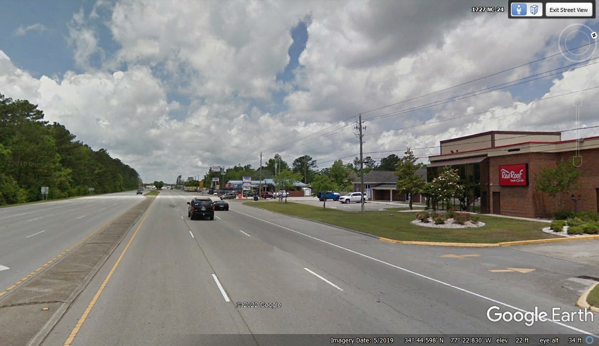
November 9, 2021: Tuesday begins with
the departure from Jacksonville, North Carolina as we leave the RED ROOF INN
behind on NC route 24 heading toward US 17 to go south.
There is a new US 17 route connection from NC 24 ahead.
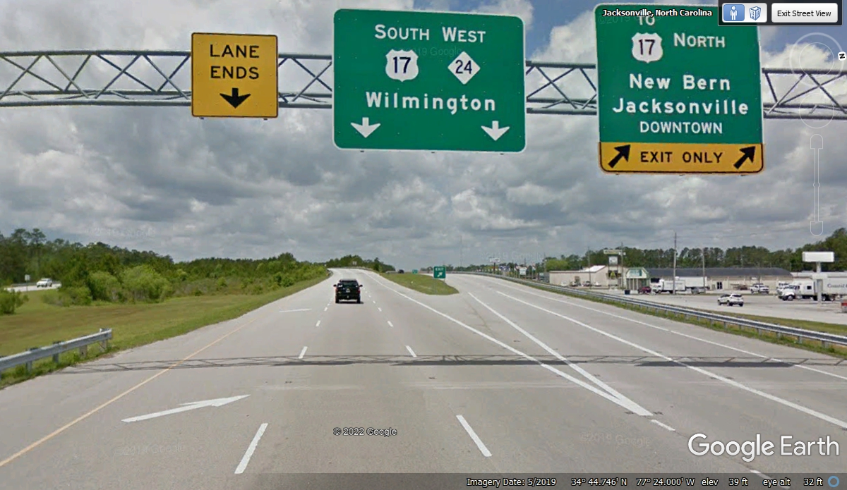
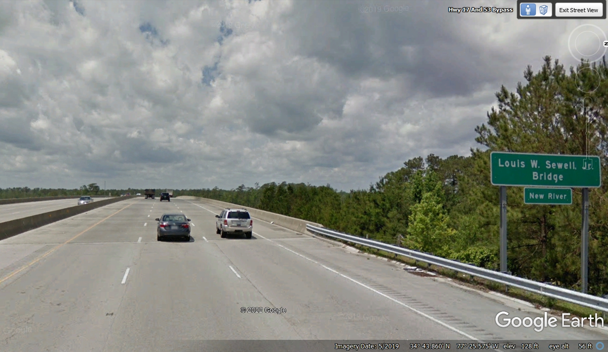
The New River in this part of North Carolina is isolated from other rivers
north of here with the same name in other states. This US 17 bridge is
just over 2/10ths of a mile wide at this point over the river but it quickly spreads
out to be
over 2 miles wide just down stream from here.
We follow US 17 to stay close to the Atlantic Coast.
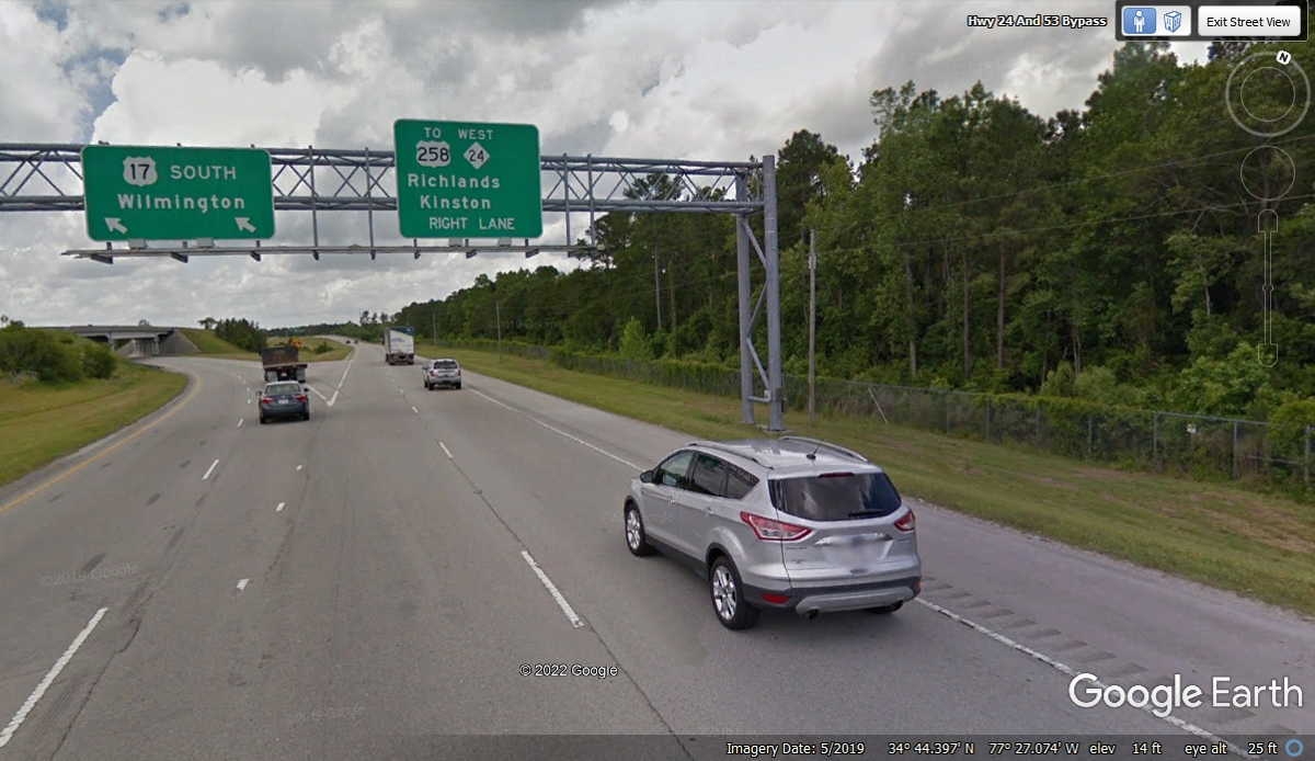
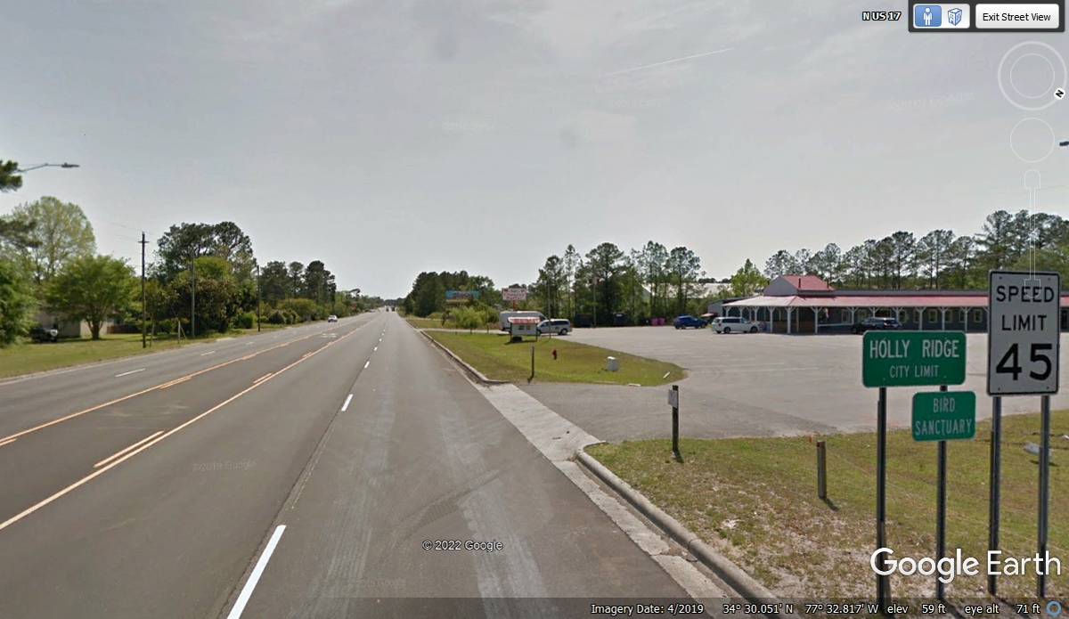
Holly Ridge, NC is the first small town south of Camp Lejeune on US
17. This image shows the highway is not divided and it has many cross
roads and connected access places.
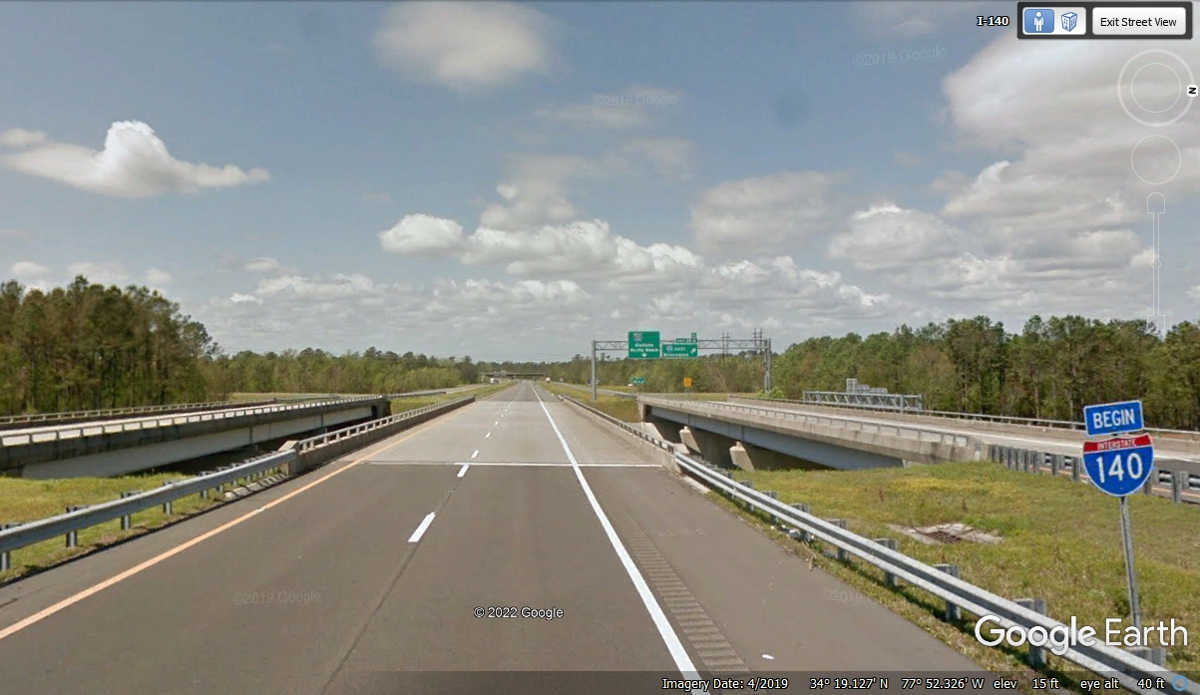
The north end of Interstate 140 begins ahead, although for now, it is
marked as state route 140.
A few miles from where we left US 17 we pass this mile marker which counts
down to zero when it ends at US 17 on the south side of Wilmington, NC.
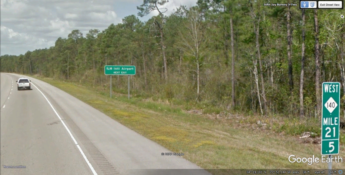
The next exit leads to the Wilmington International Airport known to pilots by
its three-letter identifier ILM.
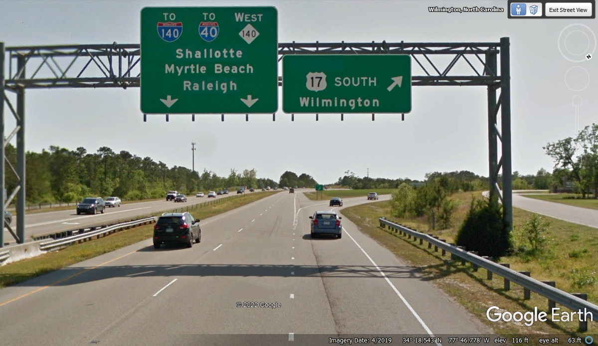
This is the intersection of Interstate 40 up ahead coming toward the city
of Wilmington about 5 miles from where we left US 17. It is also where the
I-140 bypass begins. The state route 140 is not signed past this point
going west.
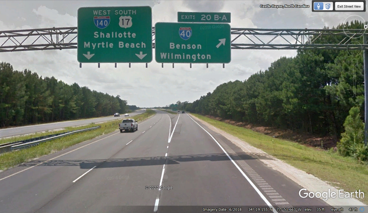
We just passed a road sign indicating I-140 was the road we traveled for
about half a mile to get to this LITTLE sign at the point where this roadway
actually crosses the two travel lanes for I-40. I get the idea someone at
the local NC DOT office wanted to be accurate as to where route I-140 begins as
a bypass around Wilmington, NC. The traveling public really does not care
as long as we get to where we area going. (Humor on my part.)
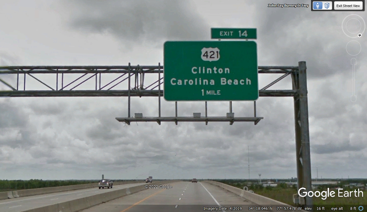
When I passed this exit sign, I was reminded of the first time I traveled
on US 421 with my father in 1958. We were headed to The Indianapolis 500
race from our home in Dalton, Georgia and traveled US 421 from Kentucky to Indianapolis
After the race, we went over to where my aunt lived in Champaign,
Illinois for a visit. I have enjoyed long road trips ever since that ride.
Here is the end of Interstate 140 and its limited access exits.
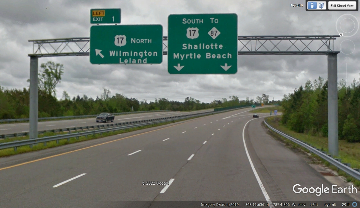
From the exit seen in the image above, US 17 has been a four-lane divided
highway with traffic lights and cross roads. This is the north side of
Shallotte, NC.
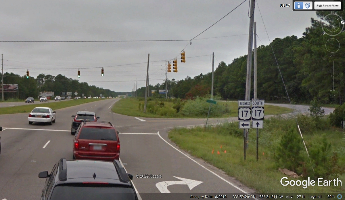
Entering South Carolina on US 17 does not change the way the road is
built. Four lanes with cross roads and traffic lights at the major
intersections is still normal.
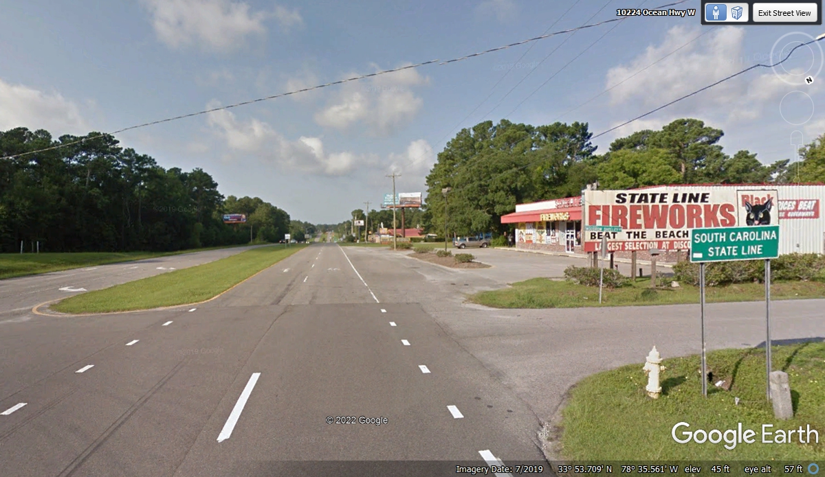
Now that we are in South Carolina, we need to get fuel that is less
expensive than in North Carolina. US 17 is the old road here where there
are established stores and gas stations. The right lane leads to a bypass
around the congested tourist areas of both Myrtle Beach towns.
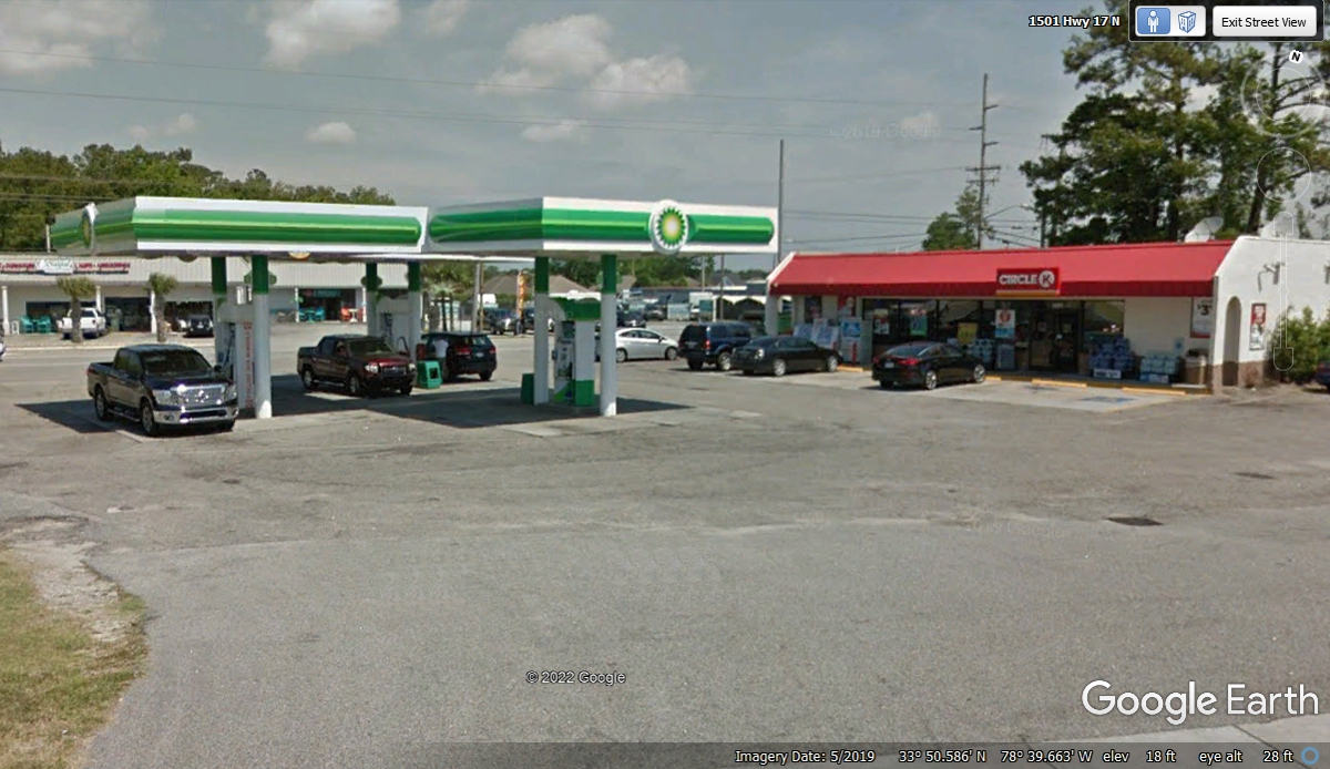
This Circle K convenience store on US 17 in North Myrtle Beach has a good
fuel price.
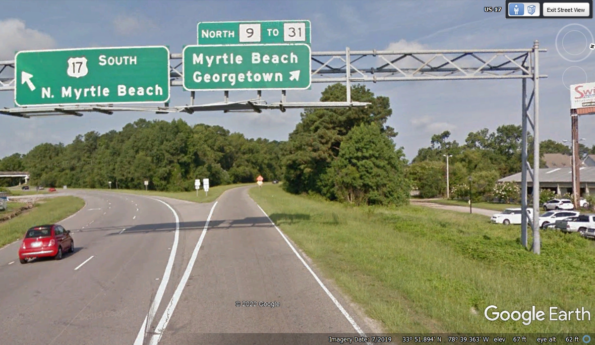
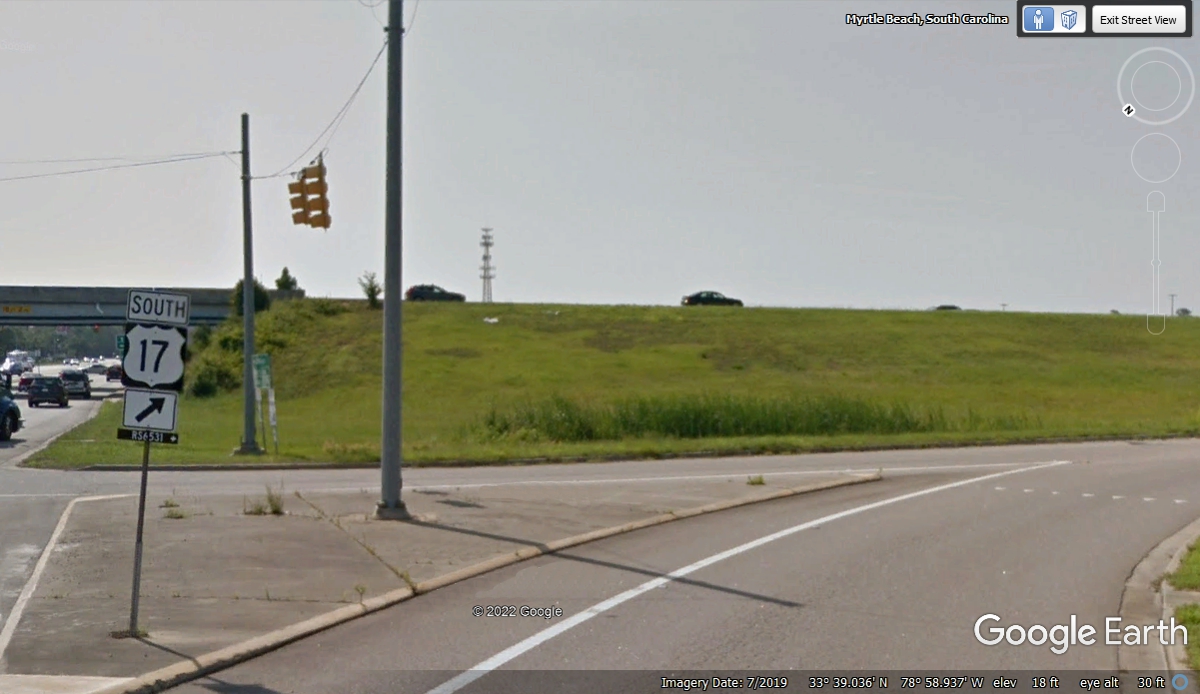
About 1.4 miles past our fuel stop, this right turn will take us to the SC
31 bypass we learned about two photos above this one. The traffic light
ahead is our turn.
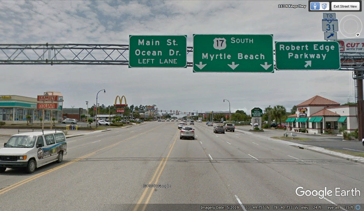
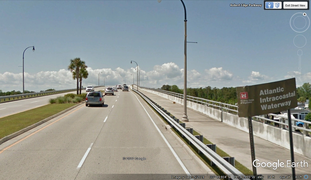
The right turn put us on the Robert Edge Parkway as seen in the upper
right corner of the Google Earth Image above. The Atlantic Intracoastal
Waterway passes under this bridge ahead.
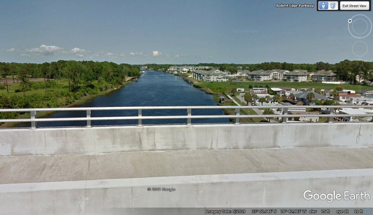
This is the view from the top of the bridge looking East.
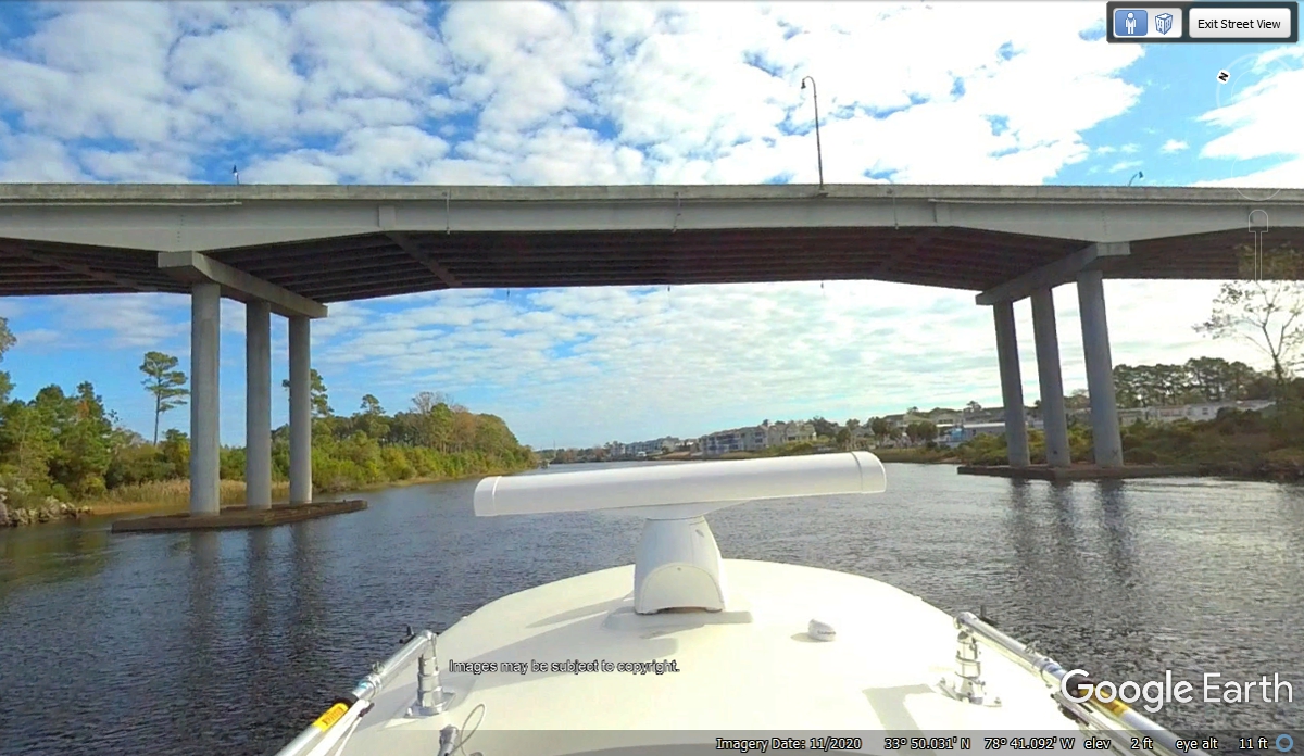
I have been looking down on major highway intersections as part of
preparing this web story about our 2021 vacation when I noticed Google Earth had
sent one of their cameras on a boat on this piece of the Intracoastal Waterway.
I pulled the little Google Earth Man over the blue line passing under the bridge
and this is what I found. This is the view from BELOW the bridge looking
East.
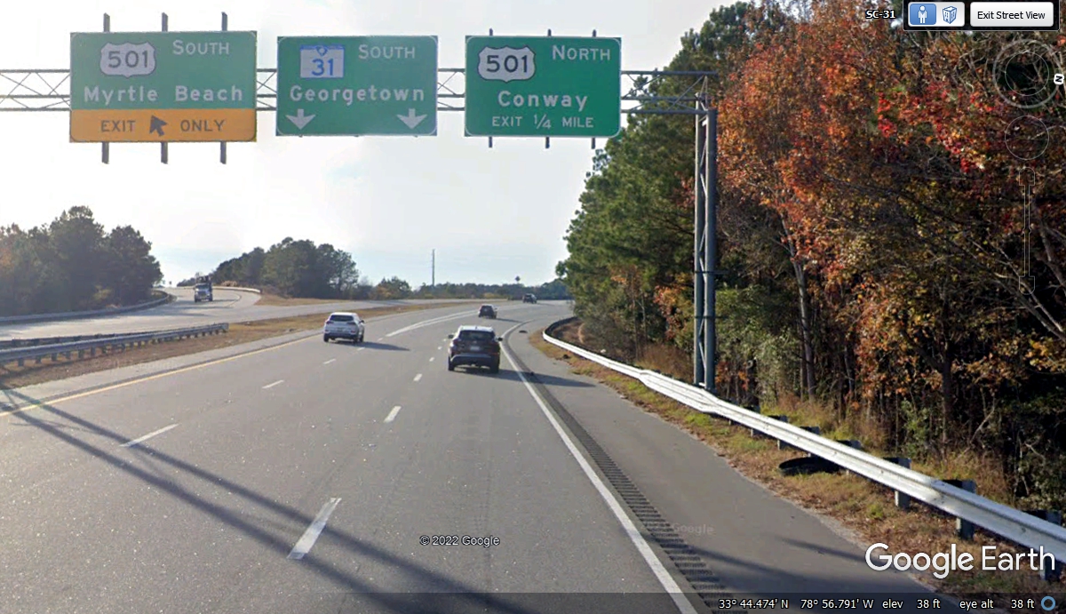
Back on our route we are coming to the South Carolina route 31 bypass
around the Myrtle Beach resort towns.

This is the second exit south of where we got on SC route 31. This
route is built to Interstate Highway standards with no grade level intersections
like we have encountered earlier today on US 17 in both North Carolina and so
far in South Carolina.
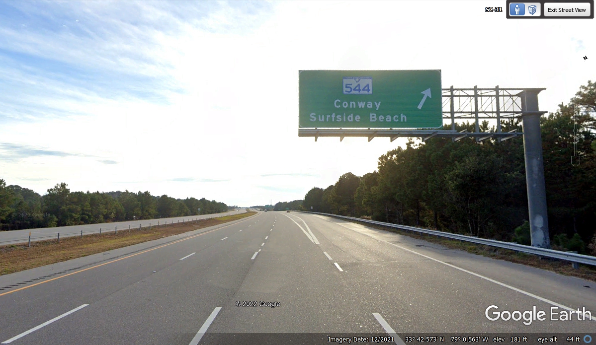
I looked at my GPS as I was approaching this exit to discover SC route 544
goes toward the beach and connects to US 17 Southbound. This was the way we went
to get there.
We are now back on US 17 going south again.
| RETURN TO 2021 VACATION MENU |