October/November 2021 Vacation Day 13 · · PAGE 41.
November 7, 2021: Sunday continues our
trip south with a long way to get home. I have used the OLD US 301 route
from before the new Toll Road was connected from US 13 over here to the US 301
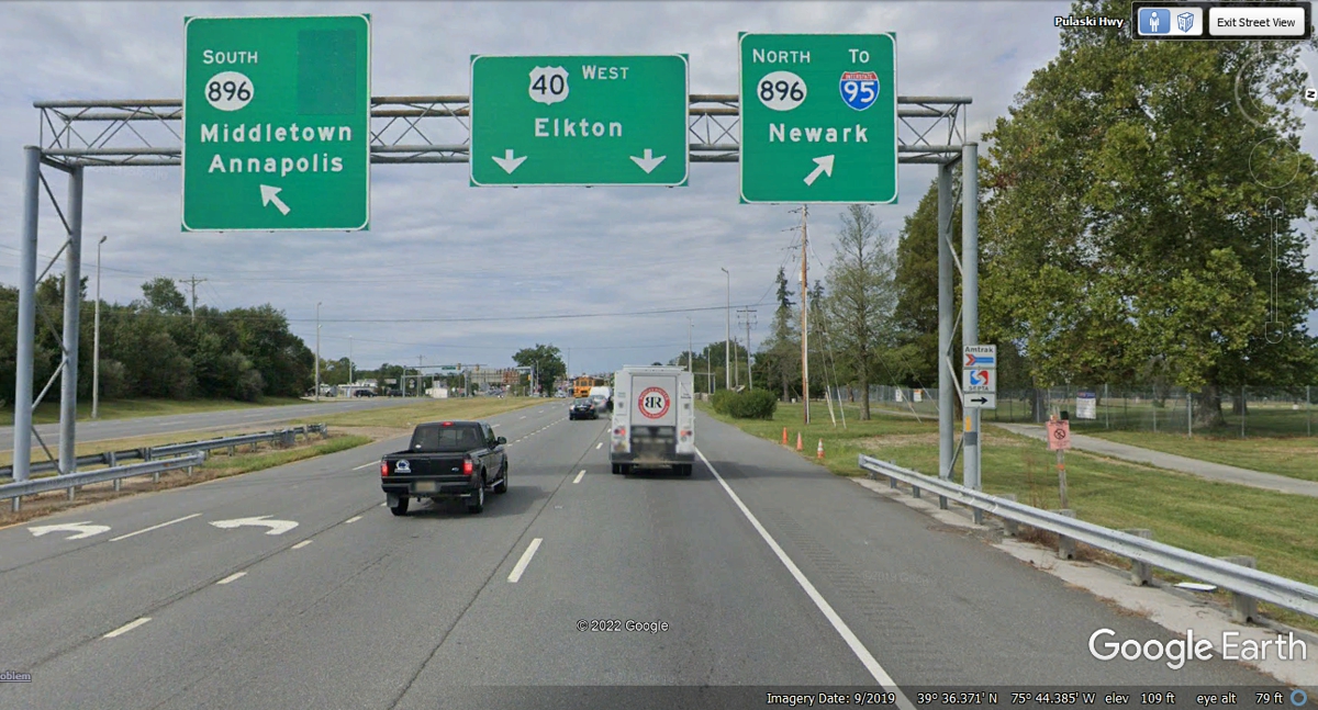
route you will see shortly. The dark rectangle on the South 896 sign was
where the US 301 sign was removed when the TOLL ROAD was opened from US
13. I was planning to turn left here on 896 but I was in the far right
lane and could not get over to make the left turn when we passed by at 10:01 AM.
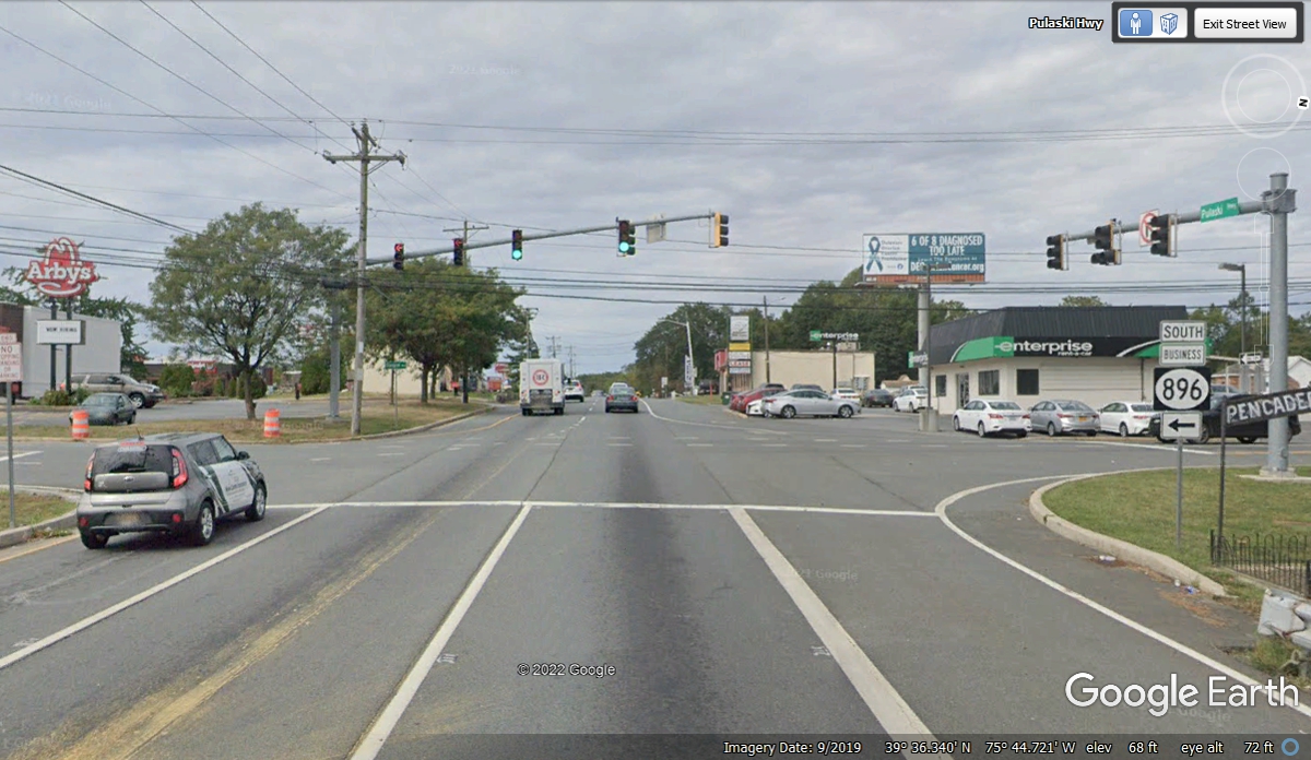
The next attempt to turn LEFT on old US 301 was also blocked by heavy
traffic on US 40. I was lucky enough to be on the front of the lane next
to the left turn lane. I was in the correct lane to turn left at the next
cross street to get over on the Eastbound US 40 and come back to this
intersection seen here to go south on old US 301, now business route 896.
The next cross street between US 40 West and US 40 East was this street in
front of Wendy's.
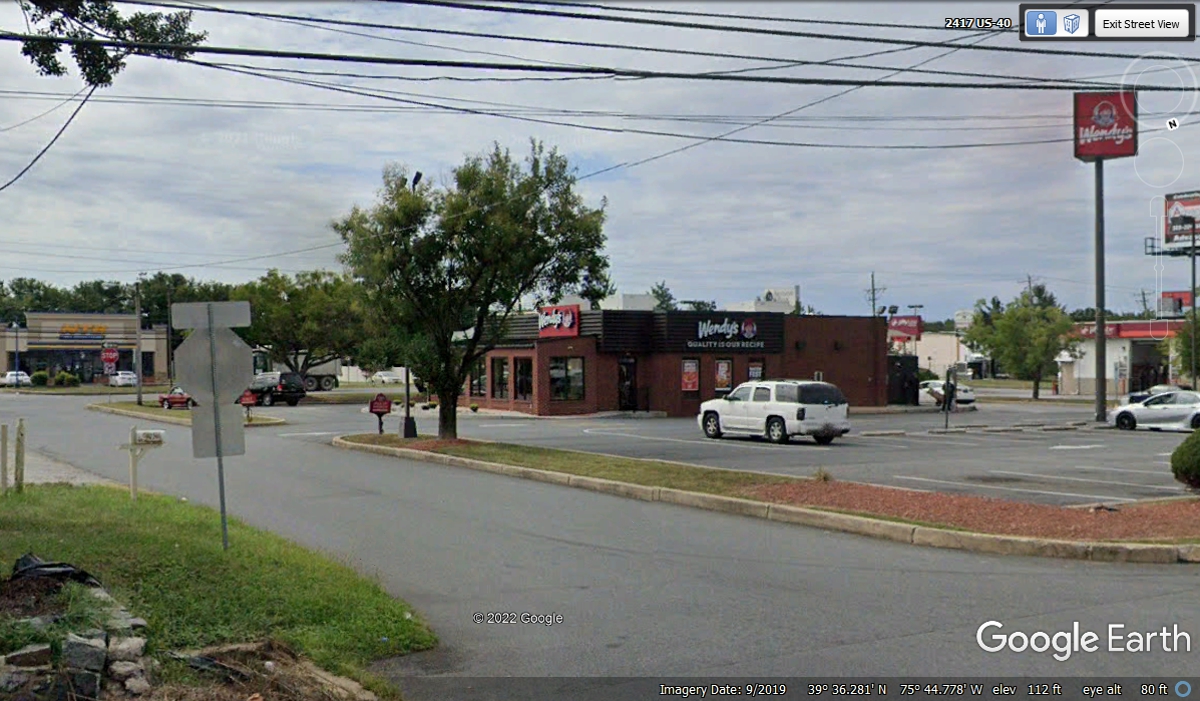
The U-turn was only one block from our desired southbound route.
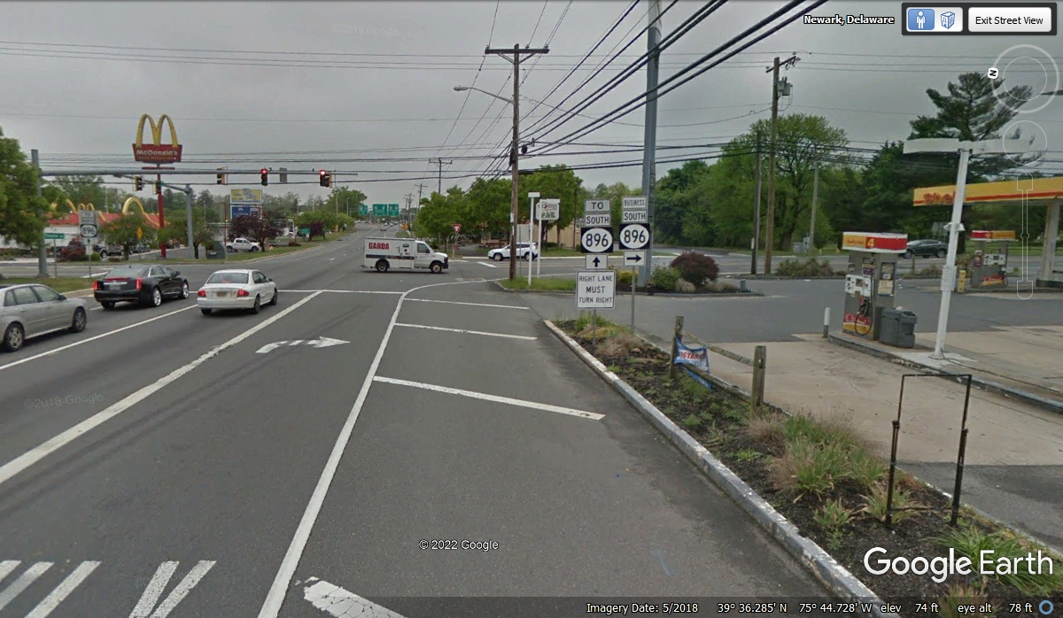
This old route 301 will join up with the new Toll Road a few miles south of
here.
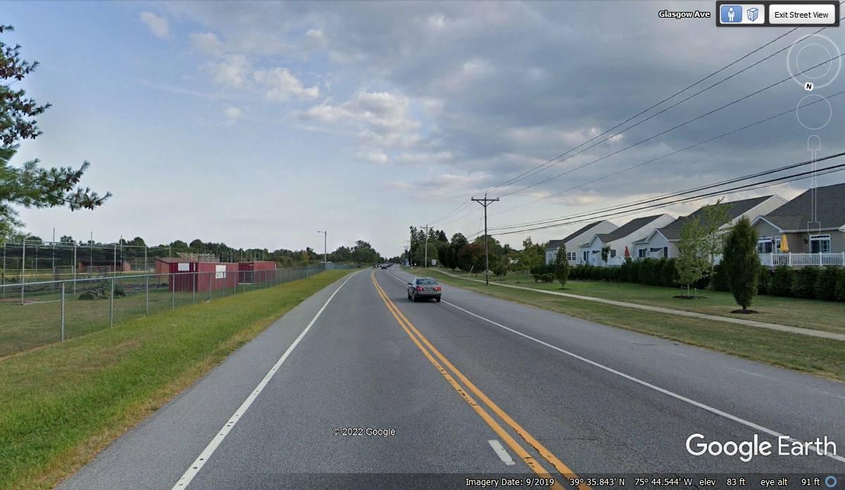
Here is an old US 301 southbound view away from the towns and clutter of
US 40. Single-family homes on the west side of the highway and a baseball
field on the east side are located only 0.6 miles south of US 40. When I used Google
Earth to measure the distance, I saw that a school was on the East side of the
road behind this location and it also had a football field.
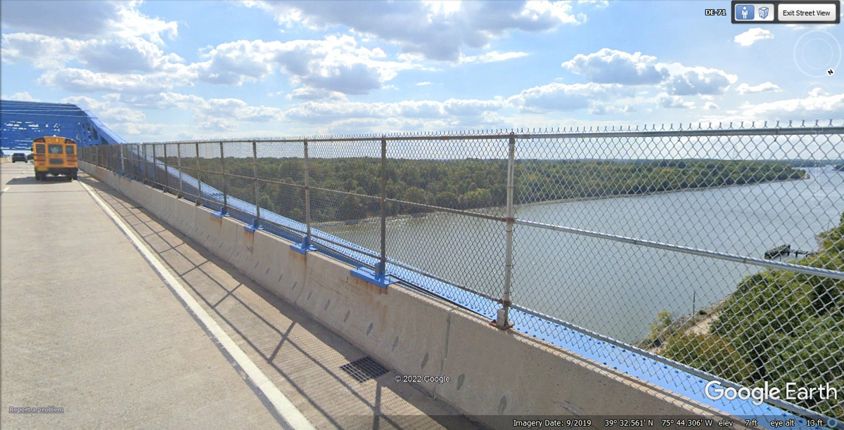
The Chesapeake
and Delaware Canal is crossed by the Old US 301 route as seen here.
This view shows the canal on the East side of the bridge toward the Delaware
Bay.
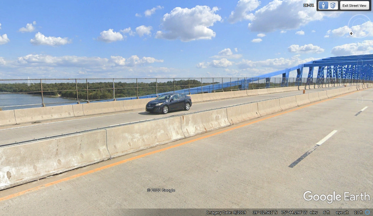
And the other side of the bridge is the view looking West toward the
Chesapeake Bay. The length of the canal is about 14 miles. We
crossed this bridge at 10:08 AM.
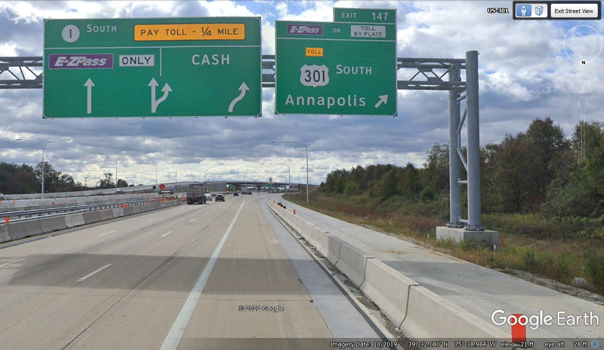
I mentioned the new route for US 301 in Delaware and here is where it
begins on Delaware route 1 a few miles south of where we got on US 40 to get the
oil changed at Wal-Mart. There is a $4:00 toll with E-Z Pass for the full
length of US 301 where it comes to the Maryland state line. The bad part
of that new route is there are no services as it bypasses the little towns and
other services that are on the original US 301 route. We did not go this
way today.
Here is the new US 301 TOLL ROAD crossing the old US 301 route which has a
state highway number.
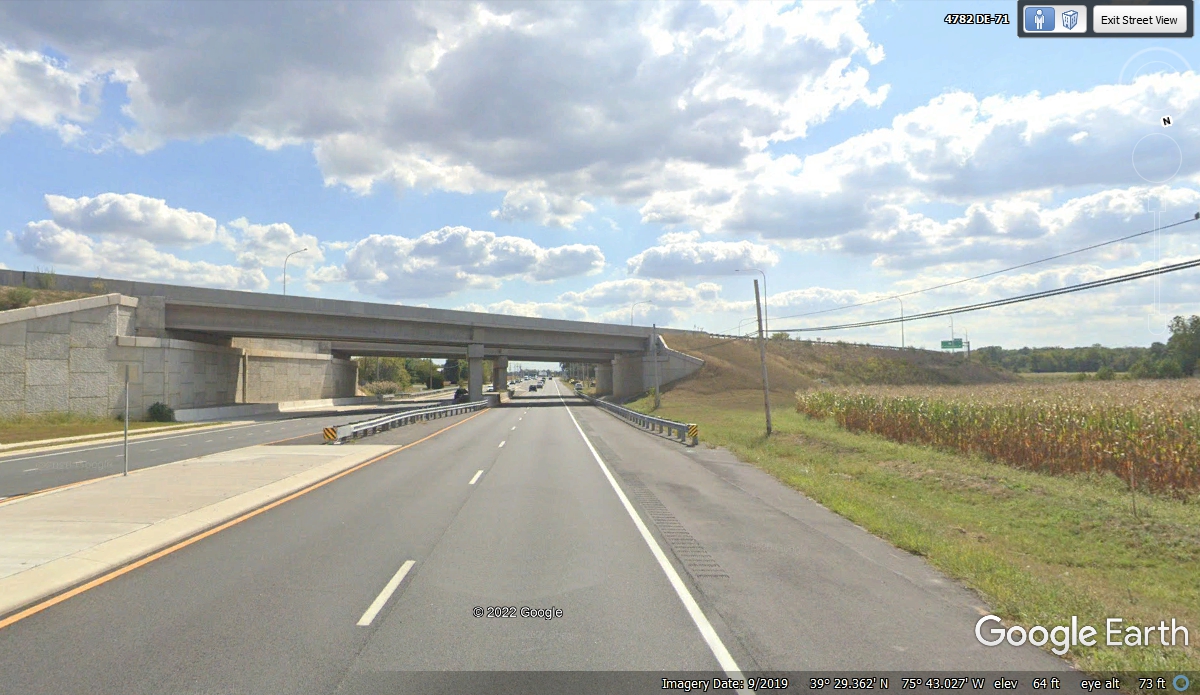
This intersection is the first ramp from the OLD US 301
going to the new US 301 Toll Road going north back to US 13 and US 40 or south
toward Maryland. This is Summit Bridge Road making the connection.
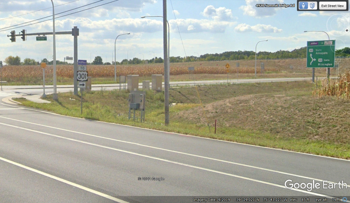
From the north side of Middleton, Delaware to the south side past the
Wal-Mart, the road is the original US 301. When you reach this
intersection where Delaware route 299 goes over to connect to the new US 301
Toll Road, you can take route 299, but do not get on the toll road. Why
you say? I looked up the tolls from all the intersections on the new US
301. The toll from the Maryland state line to the north end of the US 301
toll road is $4.00. It is also $4.00 between any two exits.
The Toll Road can be avoided by going straight across the intersection
seen above. That is route 299 which becomes the frontage road for the toll
road on the west side.
If you get on US 301 toll road at the last exit seen in the image above,
the state line is about 2.8 miles ahead and it costs $4.00 in toll money.
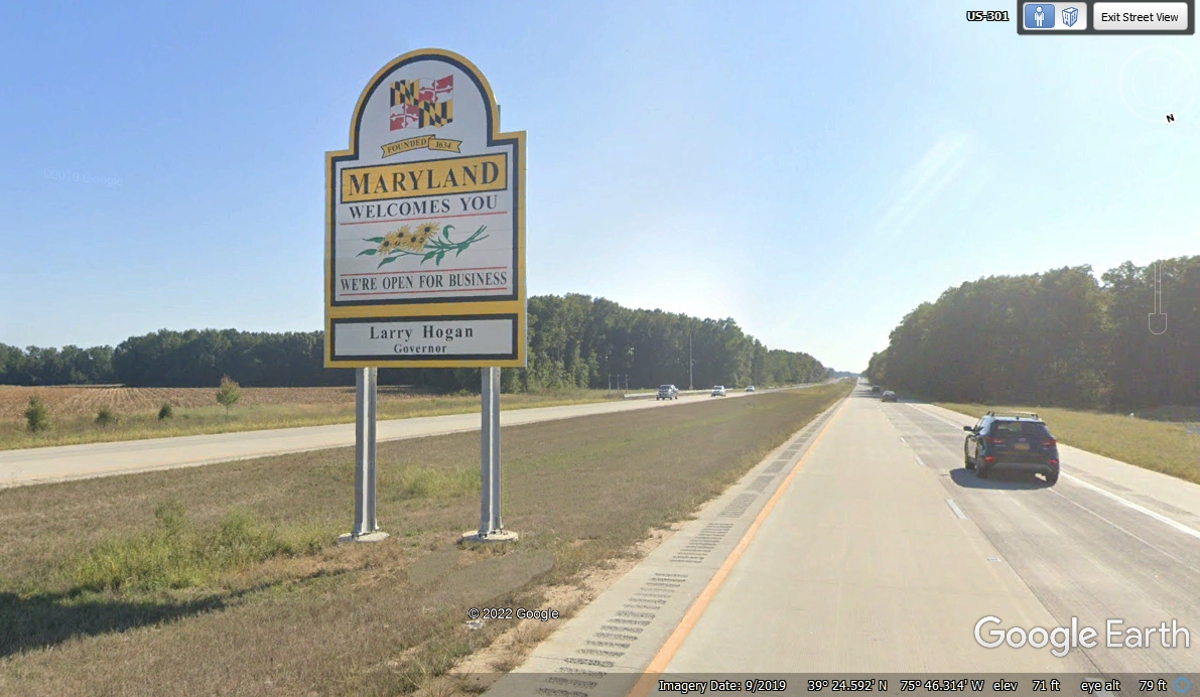
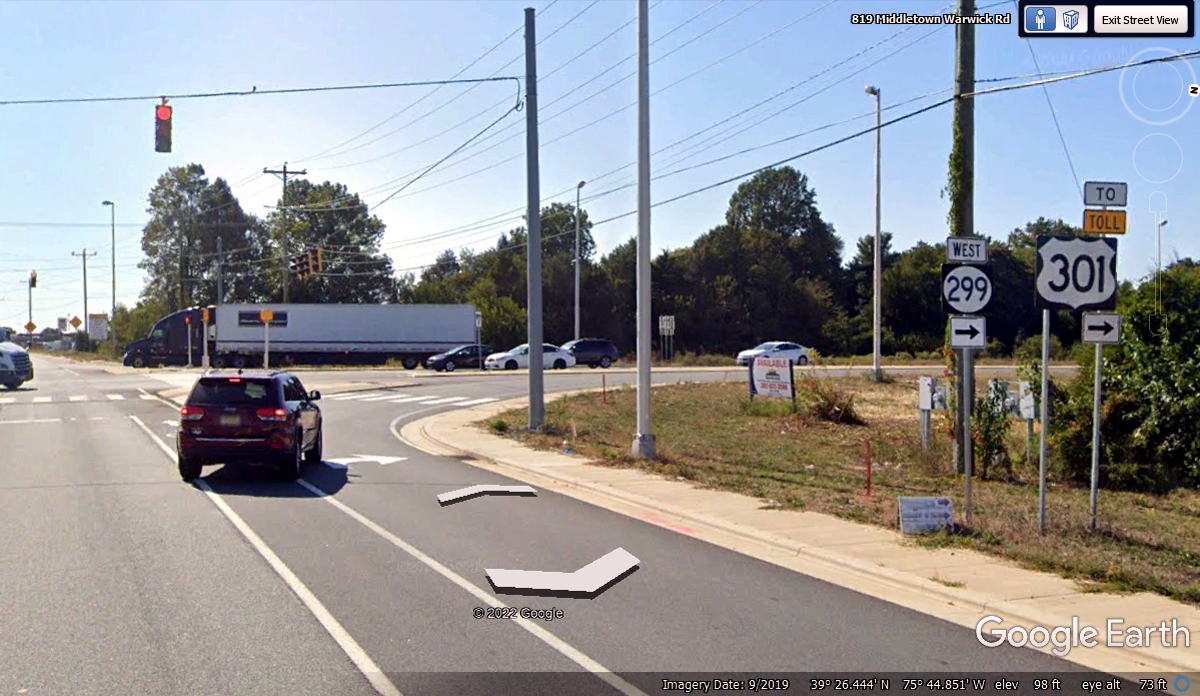
If you took the ride on route 299 in Delaware, the village of Warwick will
be ahead after crossing the Maryland State line on the old US 301 two-lane
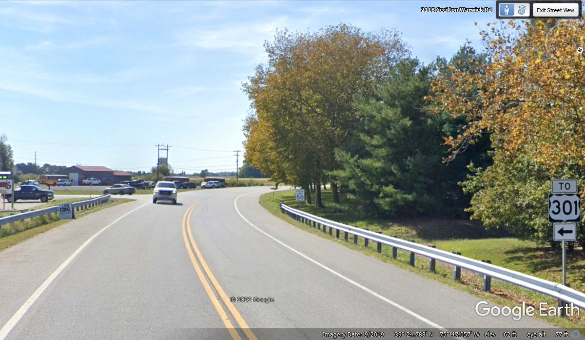
highway. On the way out of town be sure to look for this TO 301 sign and
turn left up ahead as the curve begins where you see the truck with the lights
on coming on the highway. That road is route 299 for Maryland.
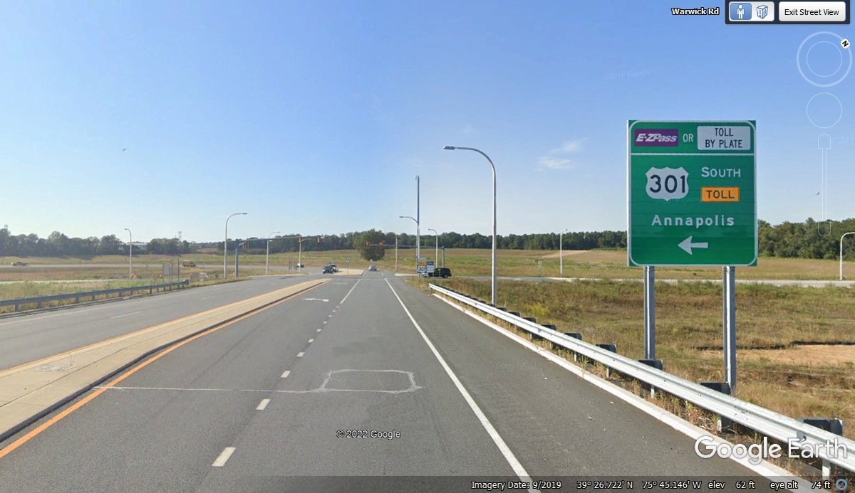
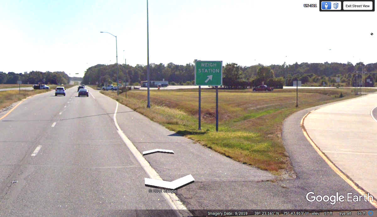
Down where the road seen above comes to an intersection with the real US 301 and a
truck weigh station, this is what you will see from the main highway, but of
course if you came from the intersection seen in the image above, you will be
coming from the right side of this image below. Either way, this
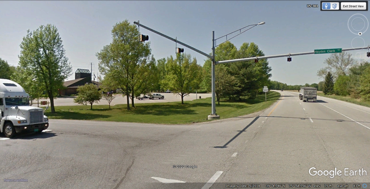
intersection can be dangerous. South of here, US 301 has some cross roads with
flashing lights. It is not all up to interstate highway standards.
We passed the weigh station at 10:31 AM.
There is only one REST AREA on US 301 in this part of Maryland. It
is in the wide median for access from both northbound and southbound
traffic. It is located 23.8 miles south of the weigh station on US 301.
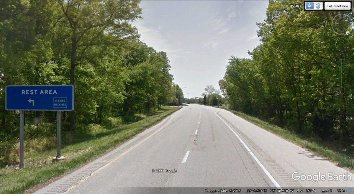
The entrance to the rest area is a cross road between the north and south
lanes of the highway to access the building. We passed by the rest area at
10:56 AM.
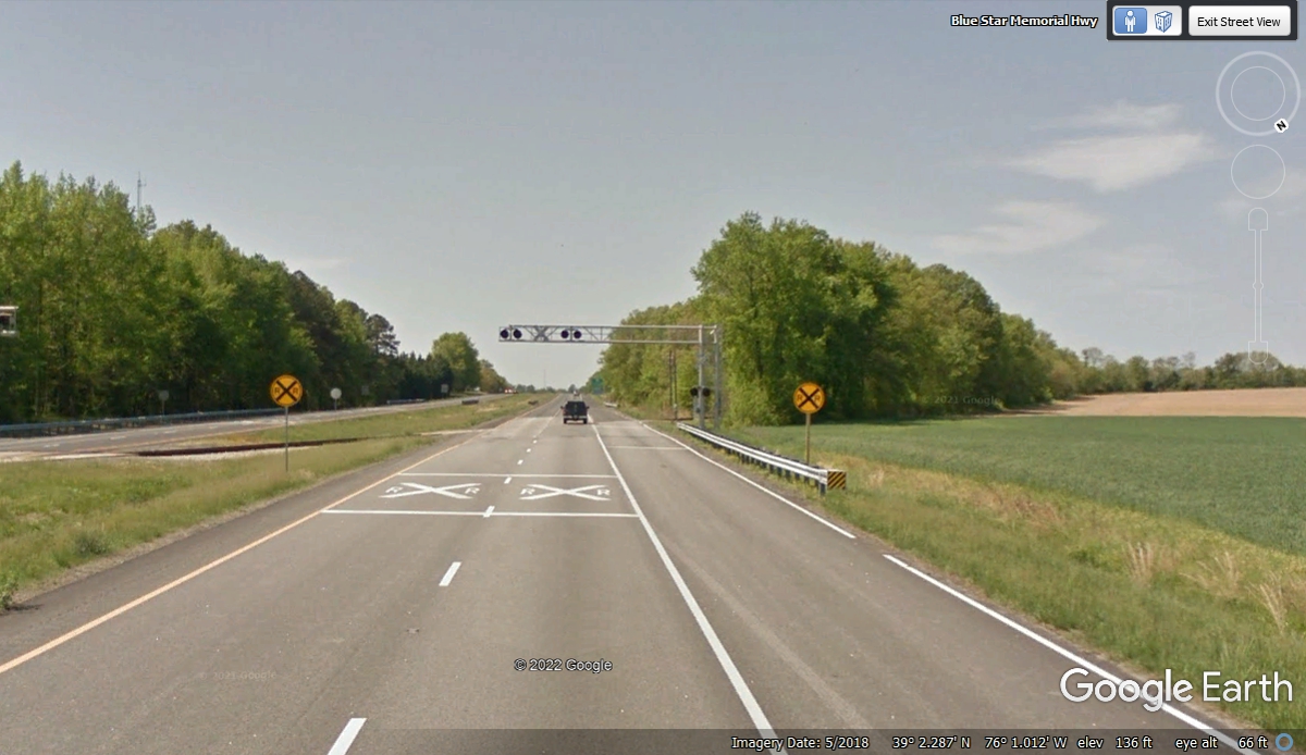
Since US 301 is not built to interstate highway specifications, not only
are the cross roads at the same GRADE LEVEL as US 301, this railroad crossing is
also at grade level. The only safety equipment here are the RED FLASHING
LIGHTS when a train is coming and crossing the highway.
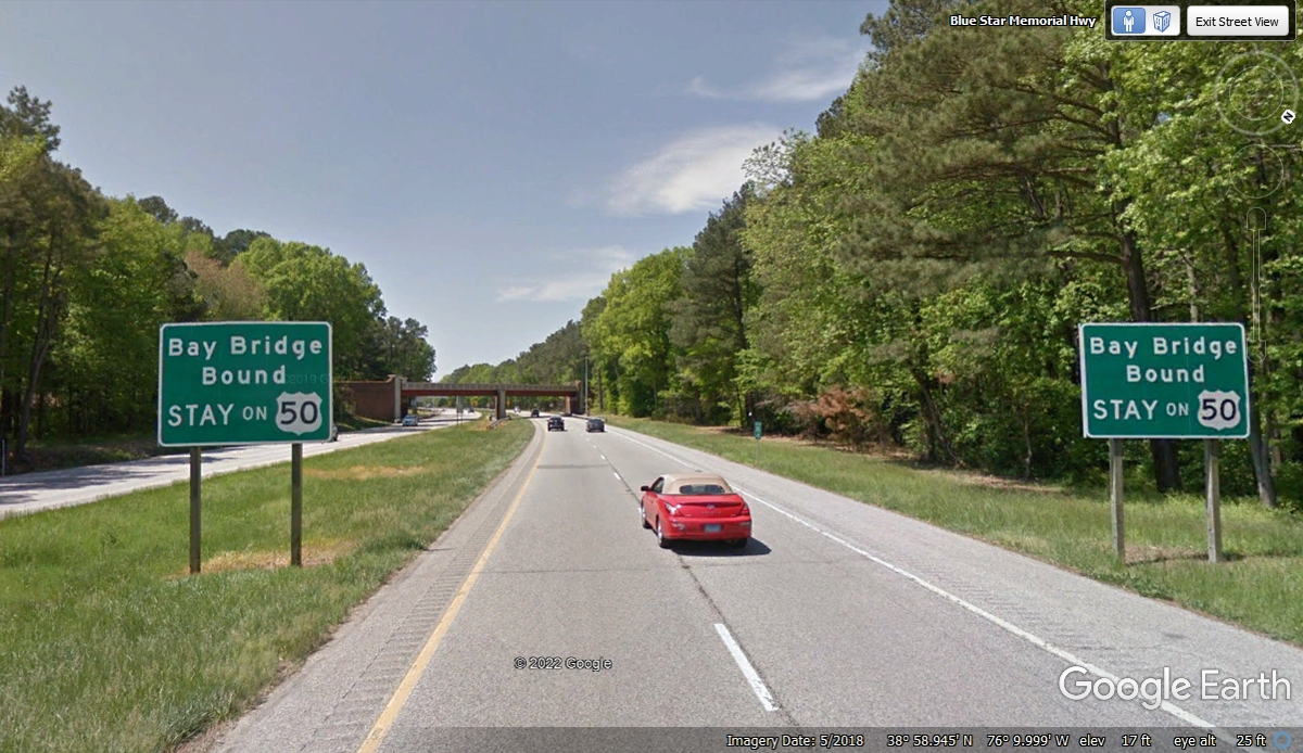
I could see US 50 on my GPS as it approaches from the East to merge with
US 301 before crossing the Chesapeake Bay Bridge on the way to Annapolis, Maryland and
beyond.
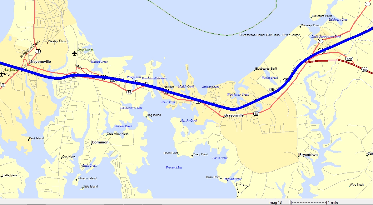
Here is one of my old digital map segments with the BLUE line showing our
GPS track on US 301 and US 50 merging on the right side of the map. North
is up and our track heading west toward the Chesapeake Bay Bridge is shown
passing through a couple of towns on the islands and the mainland.
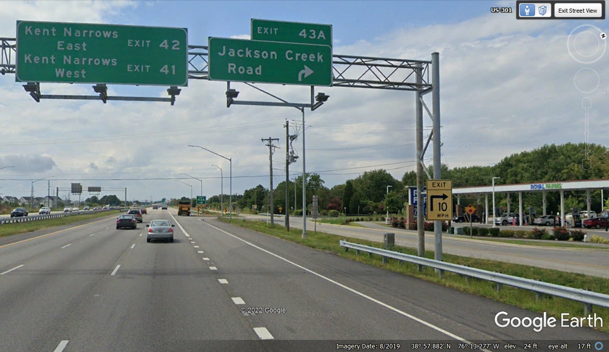
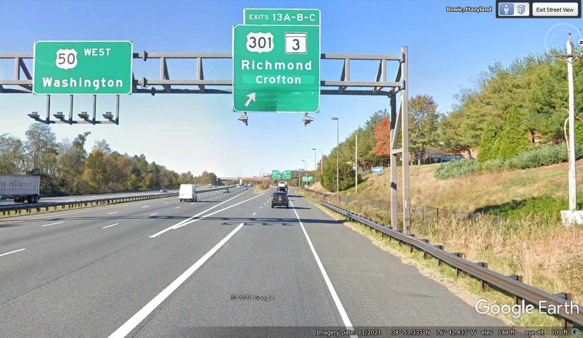
The signs over the highway are all about the local features. I have
not seen a set of road signs showing US 301 and US 50 since the two highways
merged to make the westbound run to the bridge. There is another Royal
Farms convenience store like the one where I bought fuel before getting on the
US 301 route.
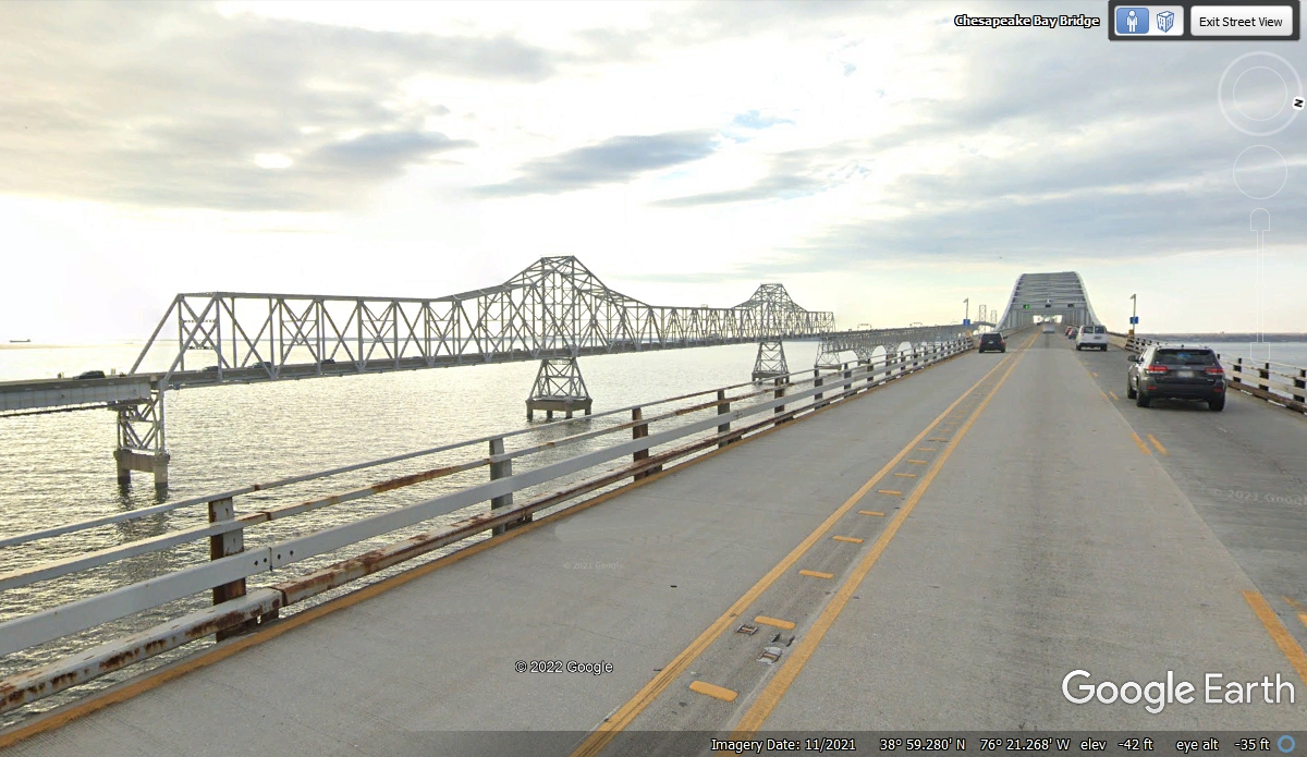
The Chesapeake Bay Bridge older span is a truss bridge as seen on the
left. The newer span is similar to the one we crossed over the D&C
Canal earlier today. We passed the bridge approach at 11:18 leaving dry
land behind us. The length of the bridge is 4.2 miles. We were back
on the ground at the west end at 11:22 AM.
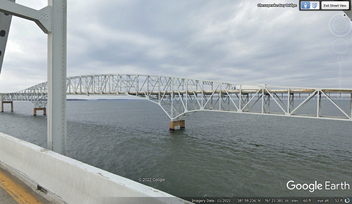
I got this image of the westbound bridge from the eastbound bridge to show
the difference in truss structure from the older bridge seen in the image above.
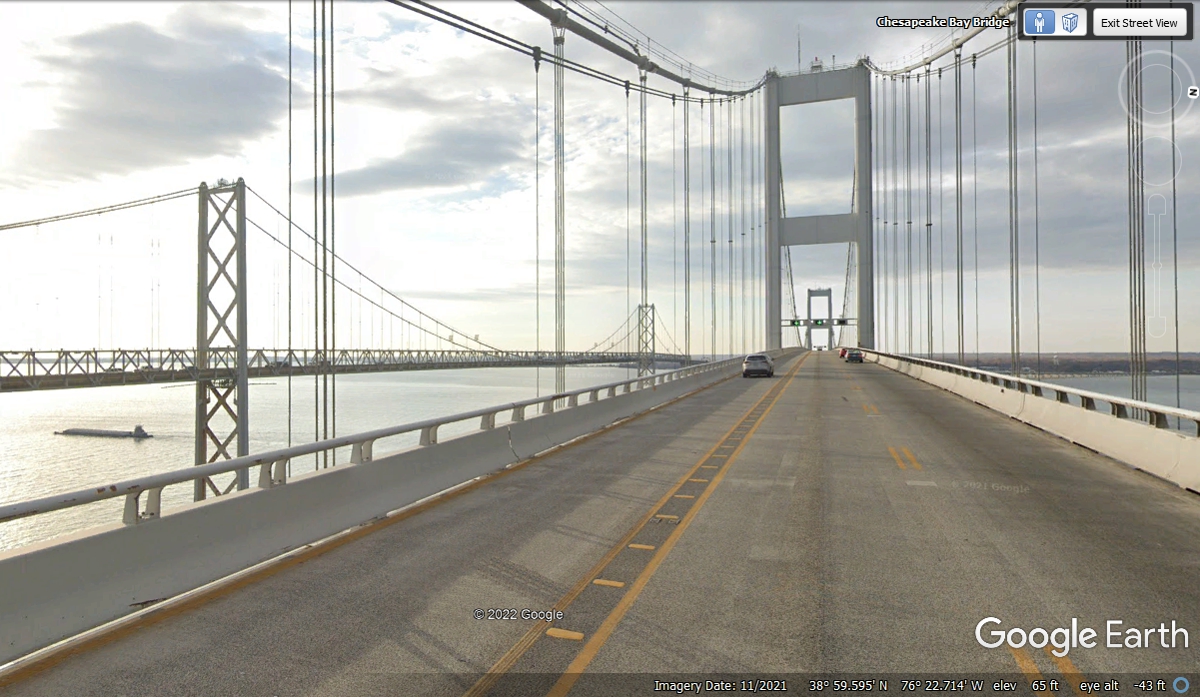
Today as I create this web page, I noticed for the first time the
Chesapeake Bay Bridge has TWO ship channels with the western pair of bridges
being suspension bridges as seen in this image below. The other two
bridges closer to the Eastern Shore of the bay are TRUSS BRIDGES.
There are no tolls collected going west from the Chesapeake Bay Bridge so
no stopping until we get to the US 301 split from US 50.
| RETURN TO 2021 VACATION MENU |