October/November 2021 Vacation Day 8 · · PAGE 28.
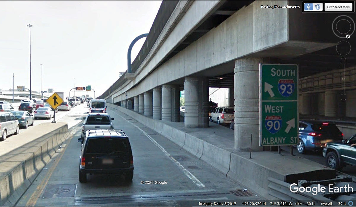
November 2, 2021: We lost GPS
signals going through the I-93 Tunnel near downtown Boston. I-93 going south and
I-90 going west divide as they are emerging from the tunnel. The GPS
signal was restored by the time we got up to the overhead signs seen in this
image below at 5:08 PM. Our ride through the tunnel was at peak rush hour
as seen in this Google Earth image with the left lanes full.
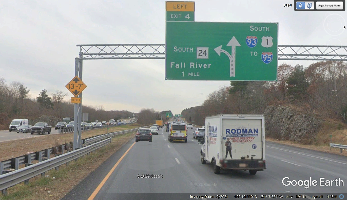
This is where we leave I-93 and head south to Rhode Island to our hotel
for tonight. Traffic is still moving slowly at 5:38 PM and it is starting
to get dark.
We have left the Boston area traffic behind as we are now headed south
toward Rhode Island. Our speed is now between 50 and 55 MPH. It is
getting darker by the minute as the time now is 5:45 PM. This is a good
time to remind you that virtually ALL of these Google Earth images are captured
in daylight conditions.
I-495 is the outer-most loop around the Boston Area and its suburbs.
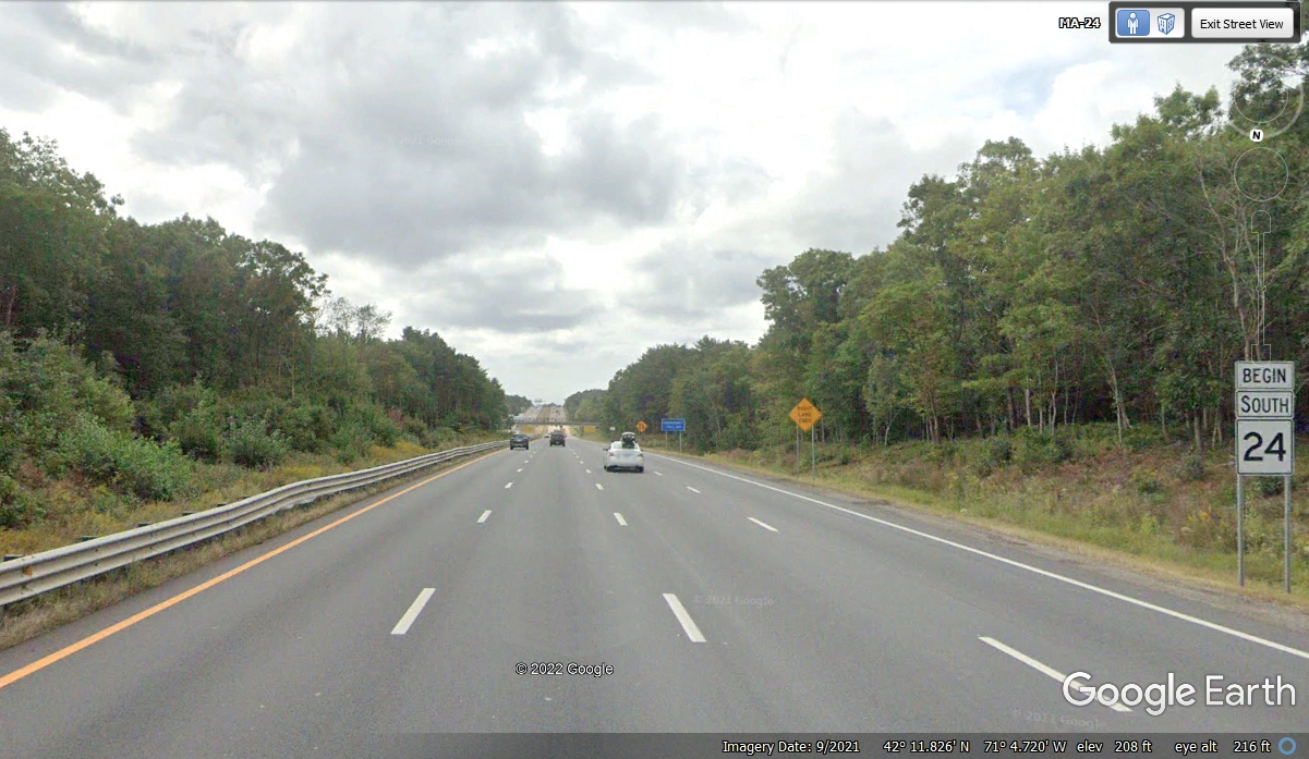
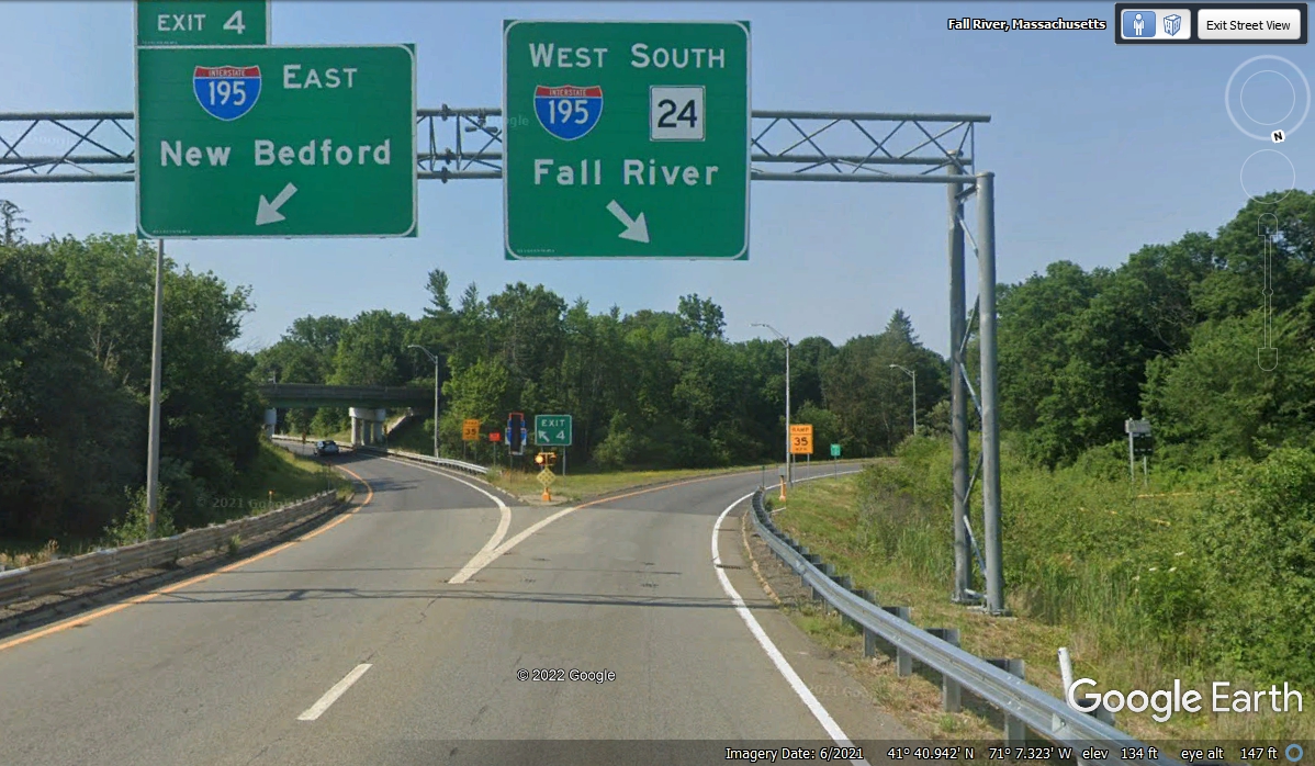
We are continuing south on Mass route 24 and getting closer to Rhode
Island. We passed this location at 5:59 PM and it is definitely dark now.
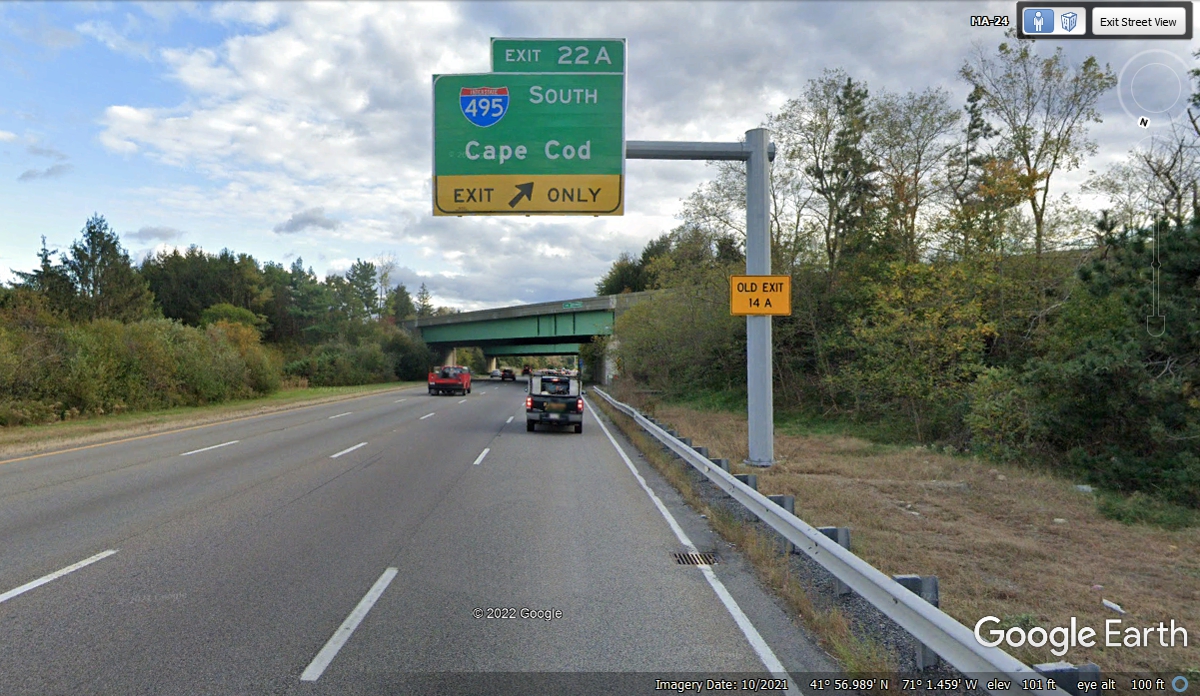
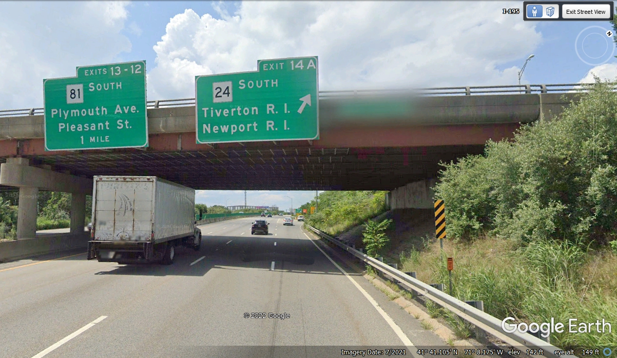
I-195 connects I-95 at Providence, Rhode Island to MASS route 25 at the
end of I-495 south of the Boston area. This route going East is
heading for Cape Cod via route 25. We will follow route 24 a short
distance west of this intersection where is will separate from I-195 and go
south.
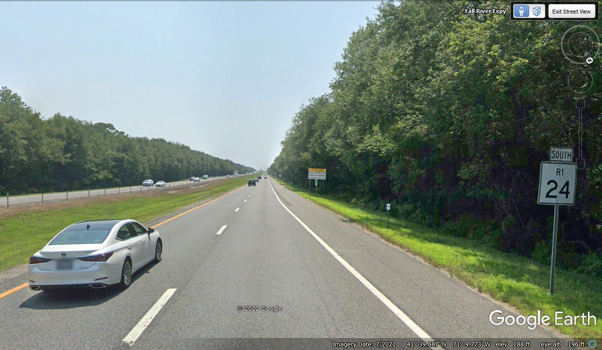
MASS route 24 turns south toward Newport, Rhode Island, which is the final
leg of our travels today. The time now is 6:18 PM.
Finally we reach the state line of RHODE ISLAND
and we have about 13 miles to go to our hotel.
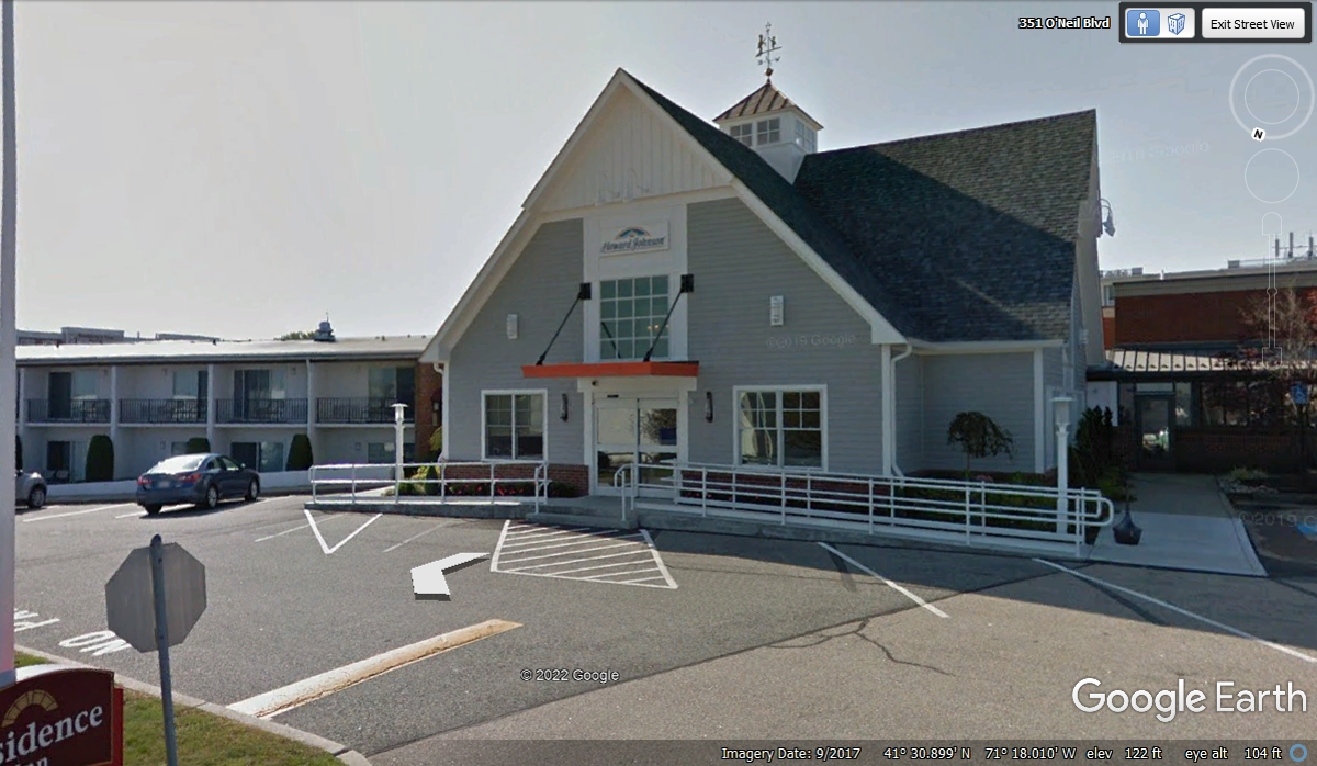
It is DARK as we get checked into the Howard Johnson motel here in
Middletown, Rhode Island just north of Newport, Rhode Island. This was a
Residence Inn and still has some of the signs and really nice beds in the rooms.
It got cold tonight as I discovered when I took Chase out for his relief before bed time.
October/November 2021 Vacation Day 9
November 3, 2021: We will begin
Wednesday in Middletown, Rhode Island at 9:13 AM and head west from here to New York City
and then to New Jersey before the end of the day's travels. Here are some
sights to see before leaving the city that hosts The Americas Cup yacht races each year.
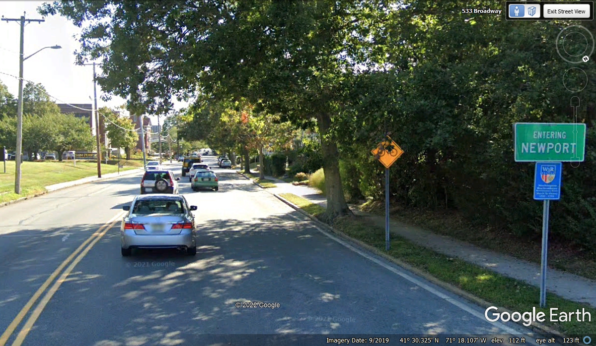
Google Earth has put the street name Broadway in the upper right part of this
image. We entered the city of Newport at 9:23 AM.
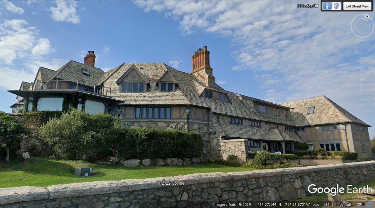
This large mansion is located at the end of a street at a southern point of
Newport appropriately named "Land's End". We did not drive past
this location. I added the next few photos from Google Earth to see what
is down at the southern points of the city.
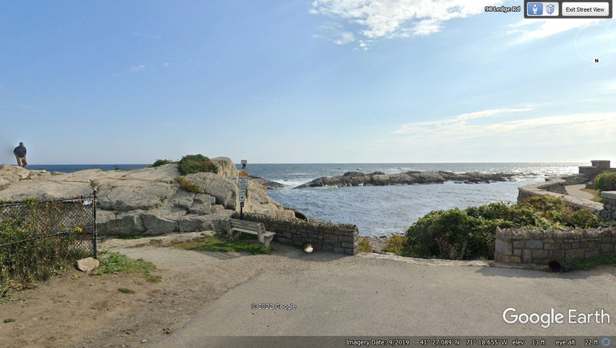
This is the view looking south from the same camera position used to
capture the image above. There is a sea wall and a paved walkway seen in the
bottom right corner of this image.
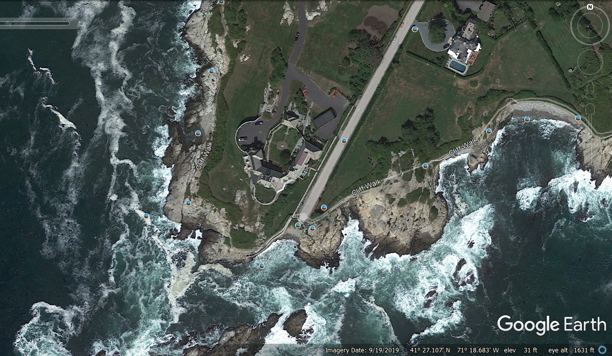
This aerial view of the mansion and the cliff walk define why they called
this point of land as "Land's End".
Ocean Avenue provides a magnificent view with this parking lot where
Google Earth captured many images with their camera vehicle.
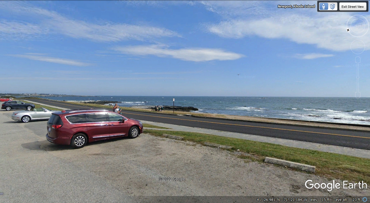
The view from the road shows how people use the beach area that is
protected by a seawall to prevent erosion.
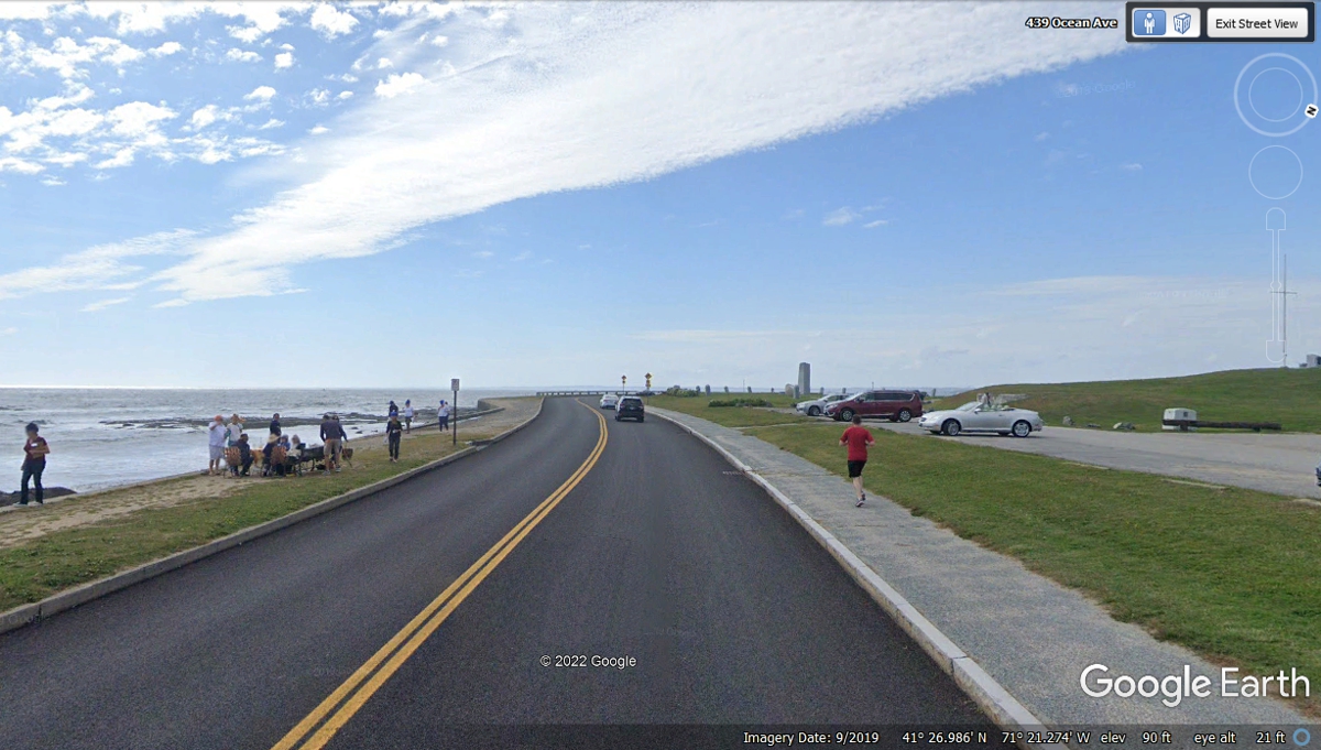
I have selected a few images above to reflect why people like to come here for a quick trip to the shore and some very rich people build their homes here.
Let's get back to what we saw as we passed through Newport on
November 3, 2021. Broadway is the main street that goes down to the older
business district of Newport. It is the street where we entered the city.

Broadway is lined by traditional neighborhoods on both sides of the street
where we passed by at 9:25 AM.

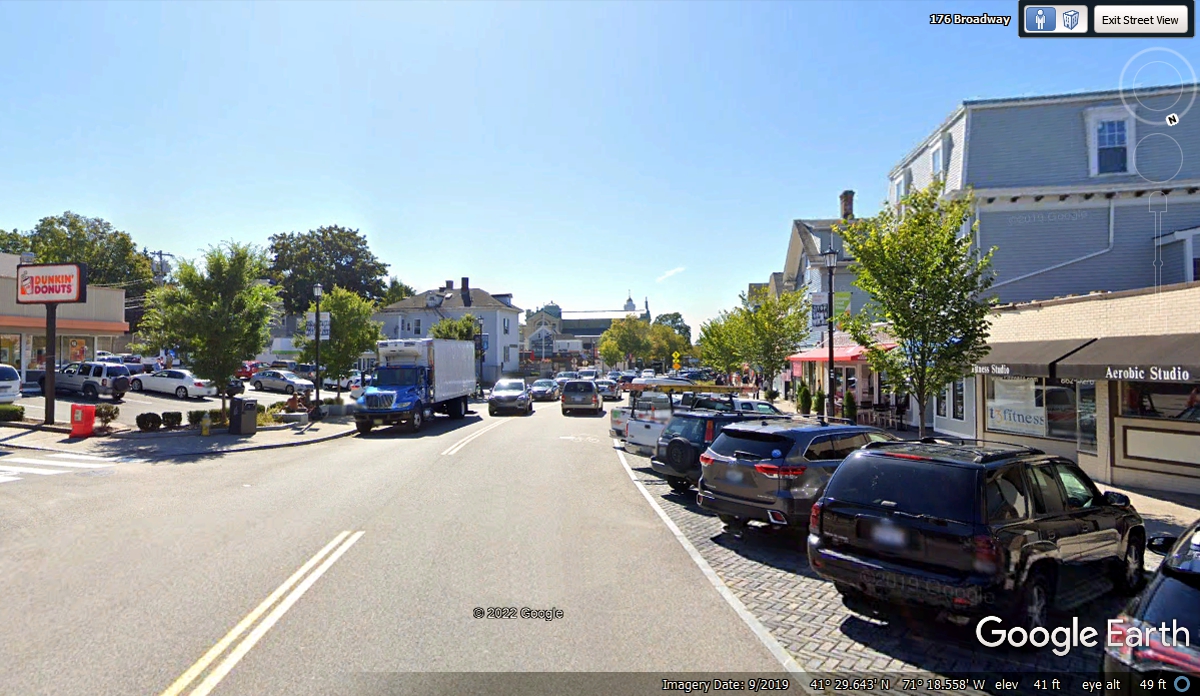
The business district gets congested about three blocks north of the
center of town. We passed this way at 9:27 AM.
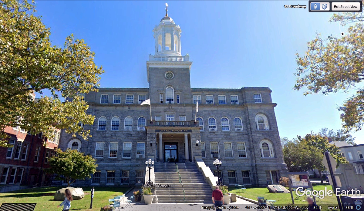
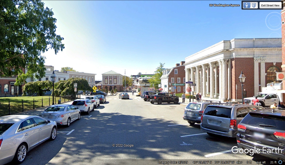
Newport city hall marks the center of town as a number of streets have
their focus on this part of town. We passed here at 9:28 AM as things here
are not that far apart.
These two buildings are also at a major intersection in the city. My
GPS was guiding me down to a point where we can head back north toward a route
to get us on the way out of town and back on course to Connecticut and New York
City.
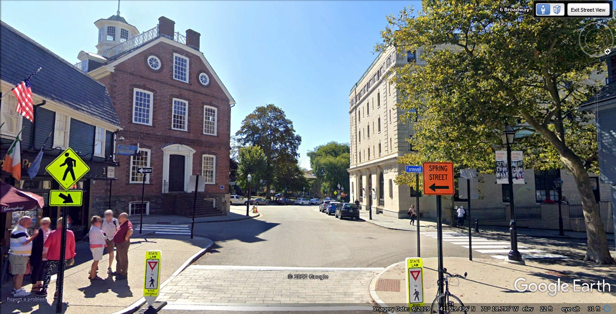
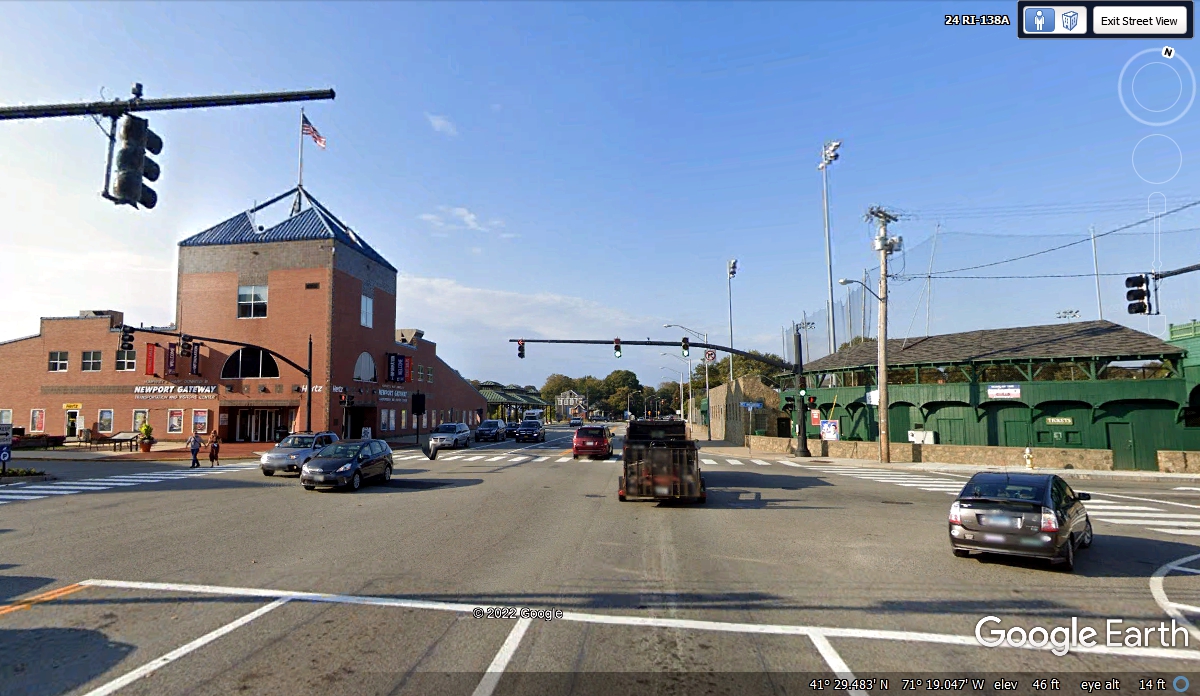
We are passing through a major business district with fine shops and
several banks. A Brinks armored truck was parked in front of one of the
banks on the day this image was taken in September 2019. There is a museum
down at the end of the street where we will be turning left. We went down
this street at 9:30 AM on November 3, 2021..
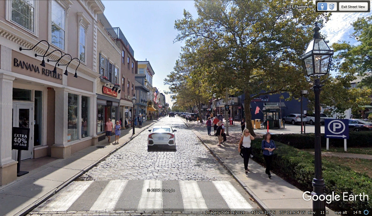
Making that LEFT TURN changed the feeling of the town. This is
THAMES street (pronounced the same as in England: "TIM'S"} with some classic buildings and a park on the right side of the
one-way cobble stone street.
After a few blocks on Thames Street, we took this turn on route 238 at
9:31 AM to
head north to a bridge to take us west.
This is the intersection of Americas Cup Avenue and Marlborough
Street. It is a less congested part of the city with a GREEN baseball stadium on
one corner.
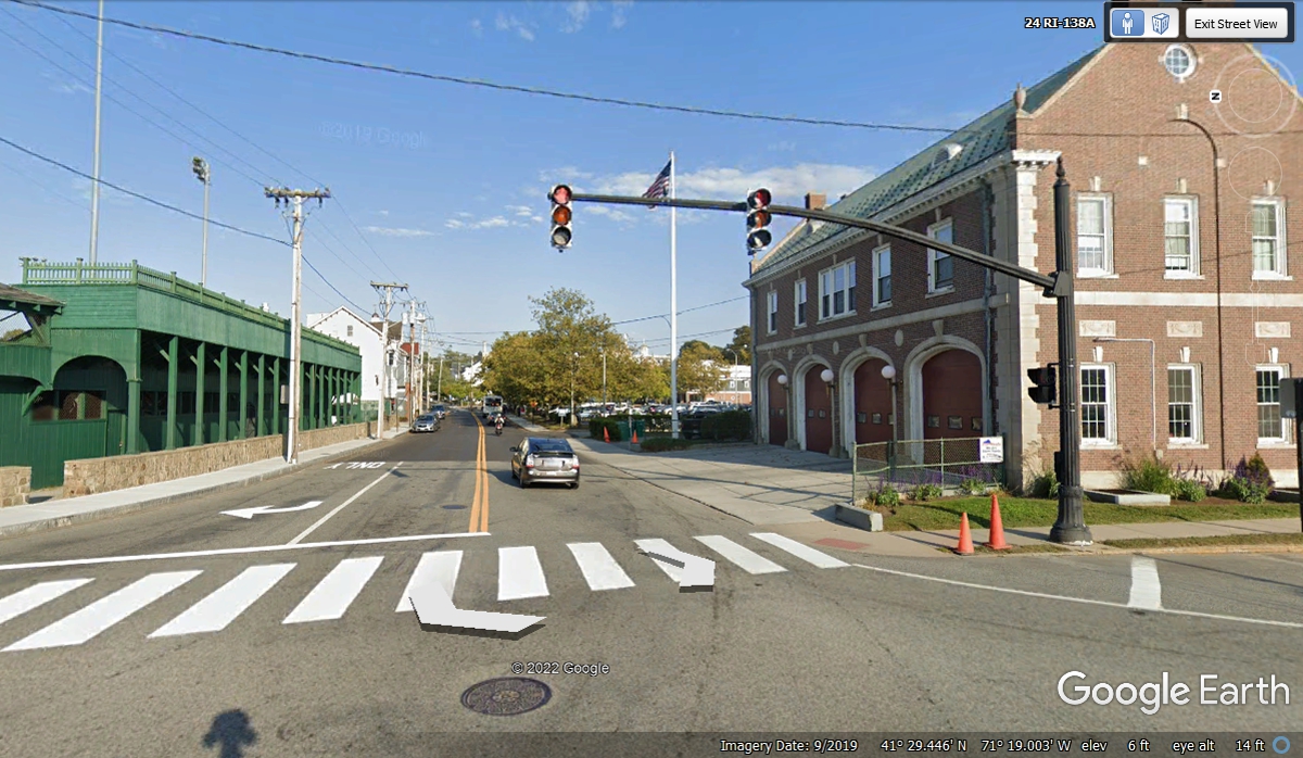
Crossing the intersection going north reveals this view looking East from
the center of the intersection. The fire station is on the corner at the
right side of the image. The center of town is straight ahead on
Marlborough Street.
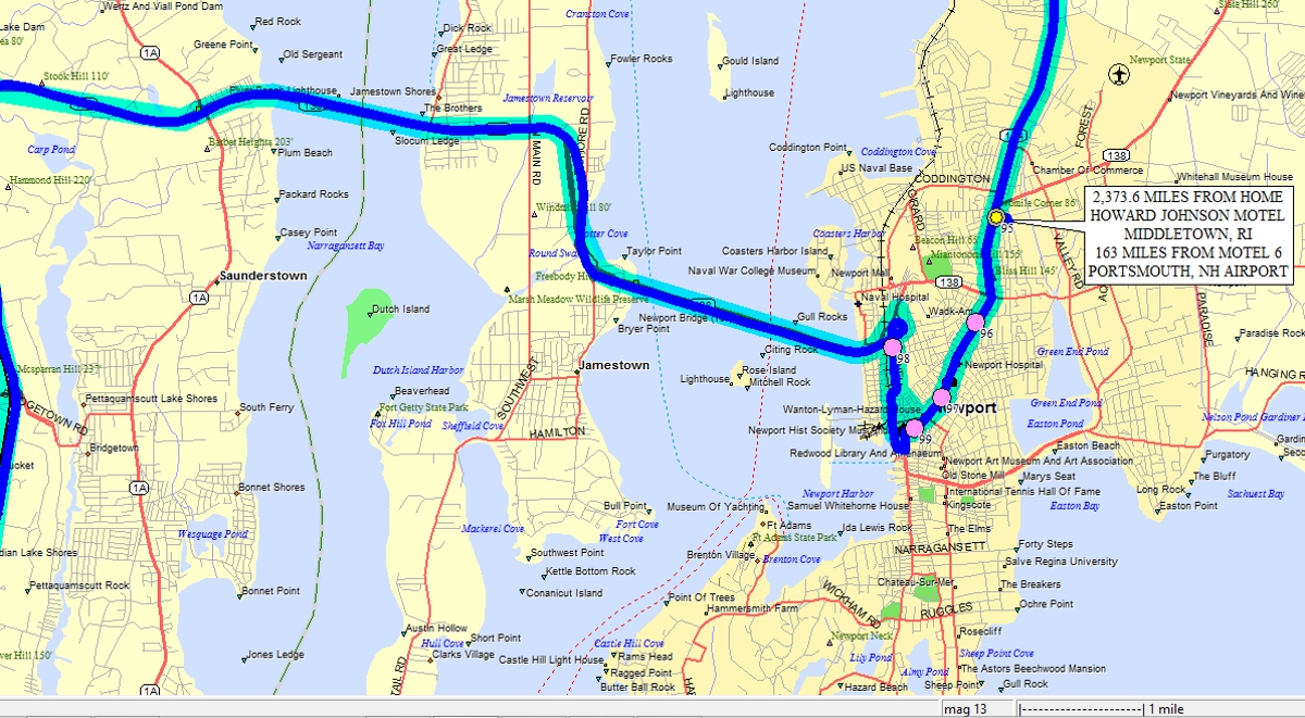
Here is a local map of our travels near Newport, Rhode Island. This
is a small portion of our travels on this vacation. The label for the
Howard Johnson motel has been updated on January 2, 2022 to show the correct
mileage from our previous night at Motel 6 across from the Portsmouth, New
Hampshire airport for the 163 miles down to Middletown, RI.
| RETURN TO 2021 VACATION MENU |