US 27 Southbound in Georgia · · PAGE 22.
November 19, 2020: Thursday is our last
day on the road as we depart Columbus, Georgia for the ride home to Florida. I
checked my old version of Street Atlas USA on my computer to see we have just over 400 miles to
go before we arrive home. The GPS recorded our departure from the motel at
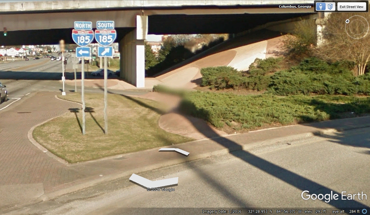
8:47 AM this morning. We got to this ON RAMP to I-185 SOUTH at 8:51:32 AM after waiting
for the traffic light to turn green as we left the motel parking lot behind the hotel.
We have to make a stop for fuel just west of this exit before we head out of town on US 27 to get
us over to a state route and a US highway that will carry us to I-75 for the
remainder of our ride back to Florida.
The last fuel we purchased was at Murphy Express in Sevierville,
Tennessee. We have traveled 391 miles to get here to the south side of
Columbus, Georgia. This is the last fuel we will need as it is just about
400 miles to home in Kissimmee, Florida. My GPS went off at 8:58 AM when I
pulled up to the fuel pump. It came to life at 9:04 AM and we were on our
way leaving town on US 27 and GA 520 going southeast.
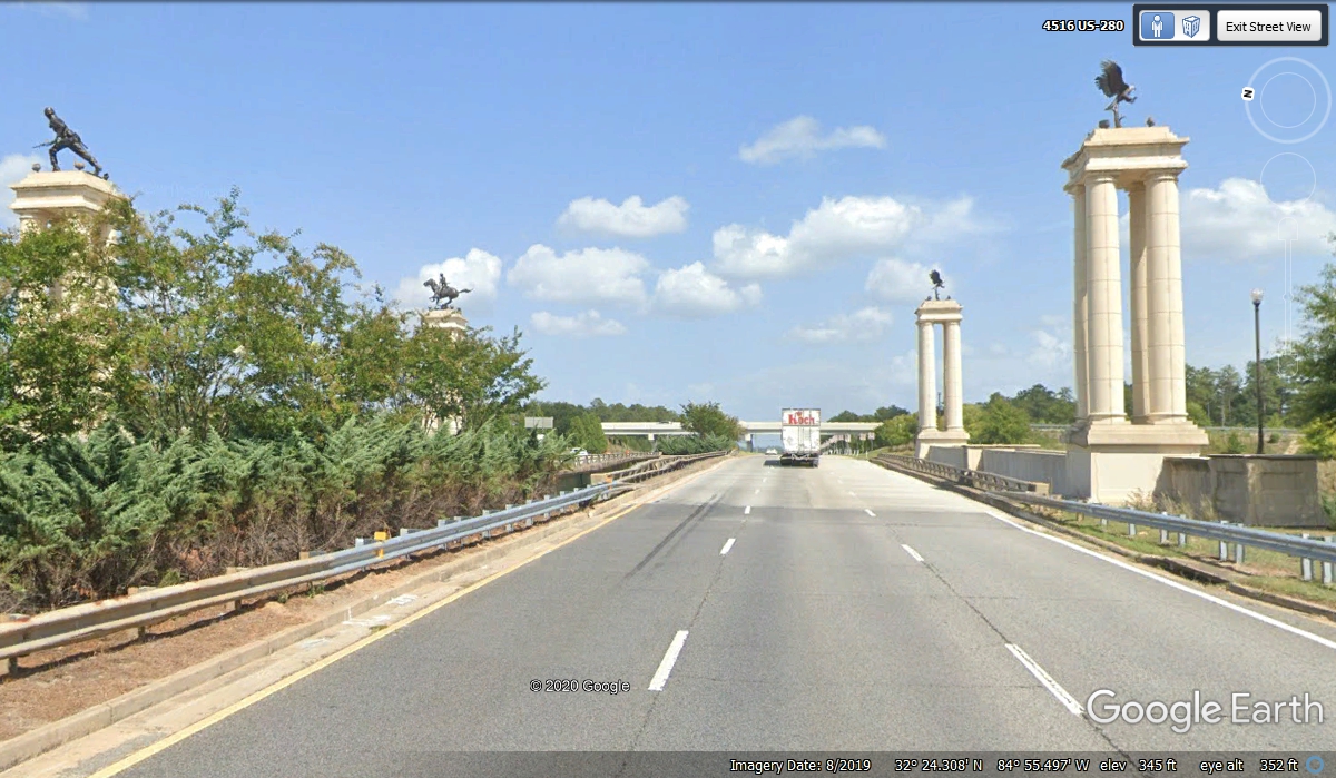
The group of four columns are on the way into the base on I-185 or going past the entrance
to Fort Benning, Georgia as we are doing on US 27. The two seen on the left show a World War II infantry
soldier with his rifle, canteen, and trenching tool for digging fox holes.
The man on the horse is a soldier in the Cavalry for long ago. In this day and age, the
AIR CAVALRY ride into battle on helicopters. The TWO Eagles with their
TALONS outstretched are symbols of "Death from Above" which could be
AIRBORNE RANGERS who parachute into a war zone, or the use of Cobra Helicopter Gun ships -- ALL of which are part of the
US Army.
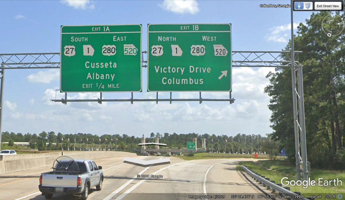
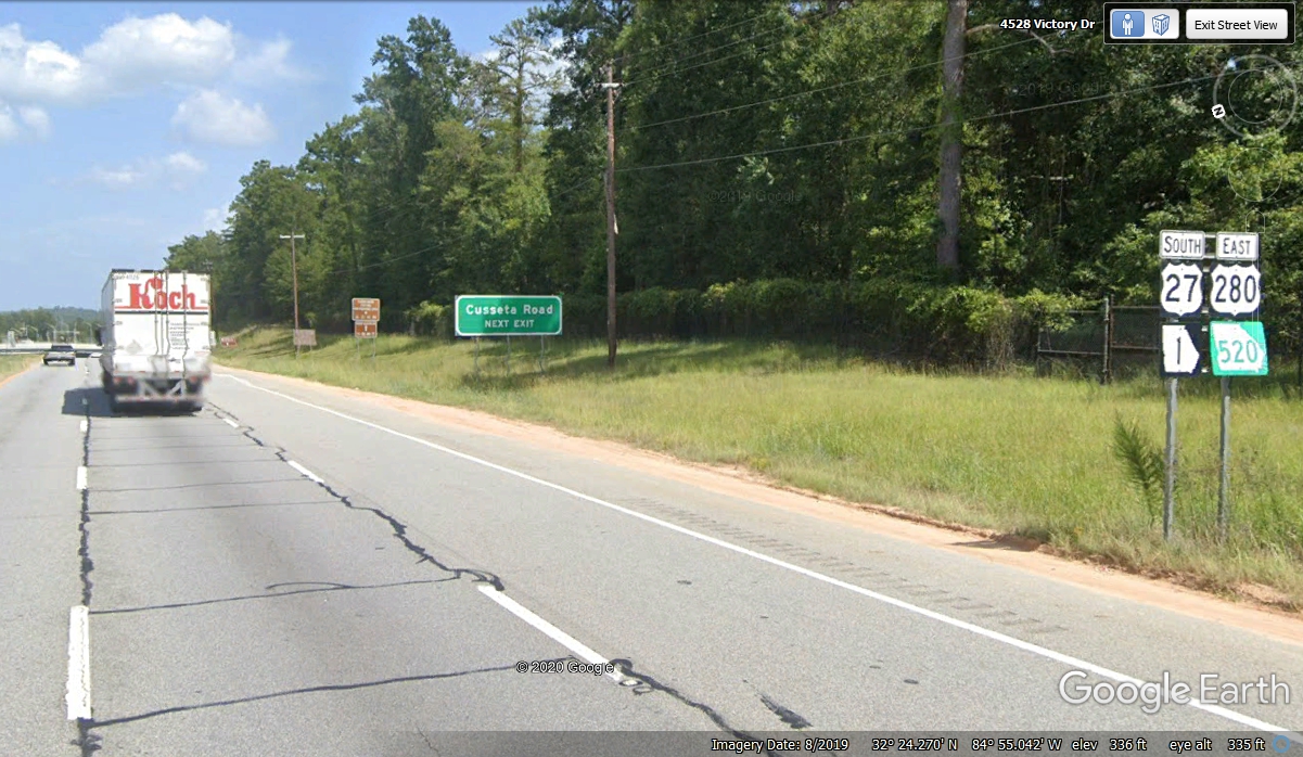
Here are the first highway route marker signs just East of the Fort
Benning main entrance. US 27 is heading toward Tallahassee, Florida and
down to Miami where it ends. US 280 comes East from the Birmingham,
Alabama area and crosses Georgia ending just west of Savannah,
Georgia. GA route 1 is concurrent with US 27 from the Tennessee state line
all the way to the Florida state line. GA route 520 is known as the South
Georgia Parkway and goes all the way from the Chattahoochee River
(Alabama/Georgia state line) to the Atlantic Ocean at Jekyll Island, Georgia
south of Brunswick, Georgia. We are following that route to Tifton,
Georgia where we will continue south on I-75 to Florida.
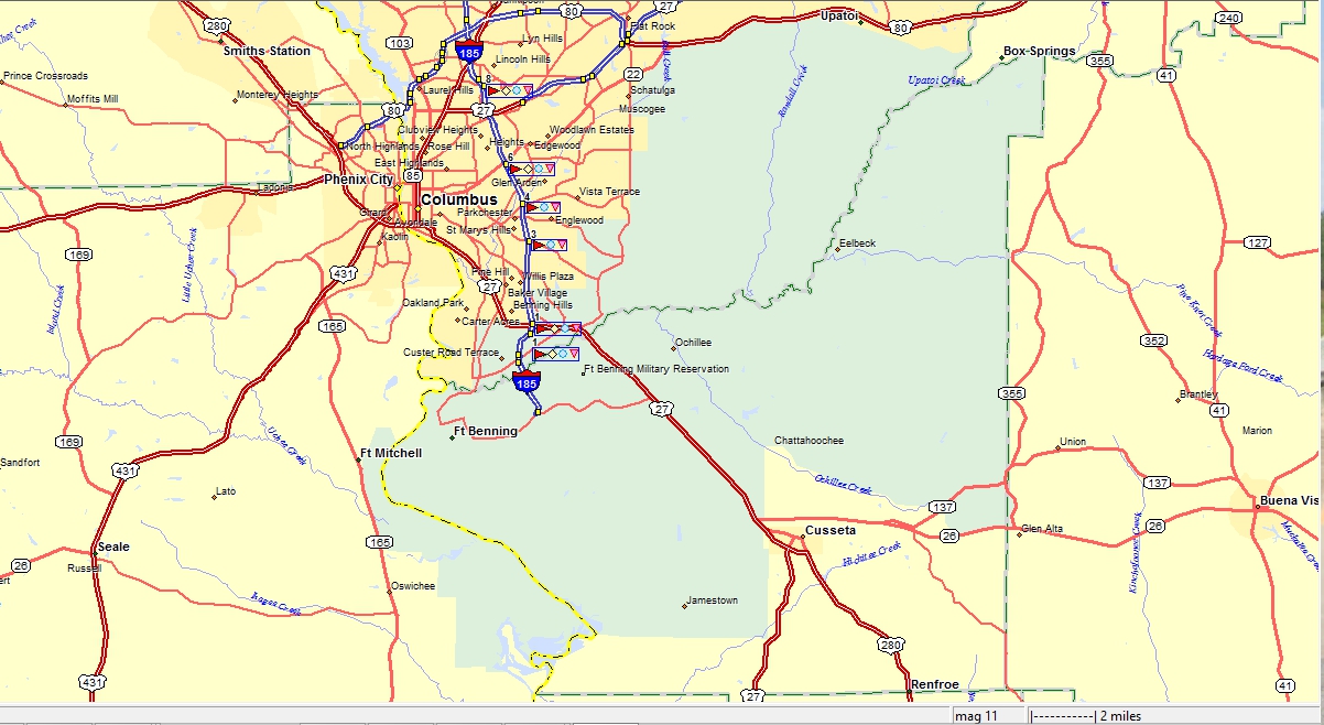
Here is a map from Delorme Street Atlas version 9 showing Fort Benning and
the Columbus, Georgia area. US 27 cuts through the military reservation
with many military access roads connected to US 27 for ease of access by US Army
vehicles and personnel to training areas.
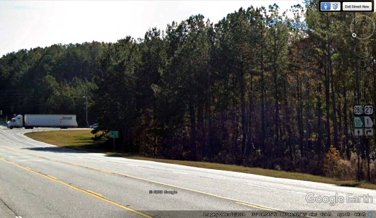
US 27 bypassed the town of Cusseta, Georgia and turned away from US 280
and GA 520. We continued on US 280 & GA 520 in a southeasterly
direction toward Albany, Georgia. That truck is at the intersection where
US 27 and GA route 1 turns right and continues south from here.
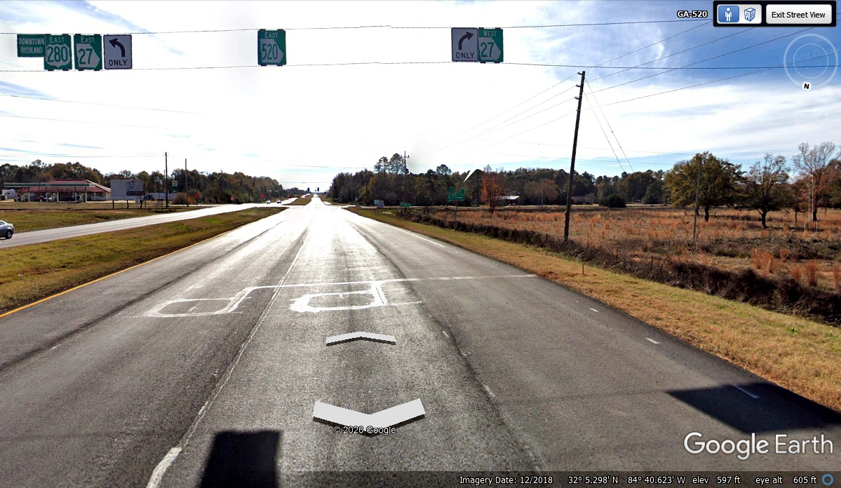
The next small town is Richland, Georgia where US 280 turns to a more
Easterly course toward Americus, Georgia on the way to Savannah, Georgia.
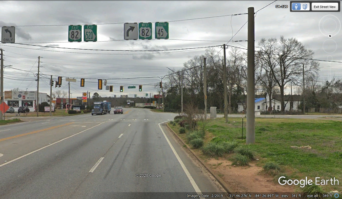
Georgia state route 27 goes to Brunswick, Georgia. We passed through this intersection at 9:32:40 with a green light continuing on
GA route 520.
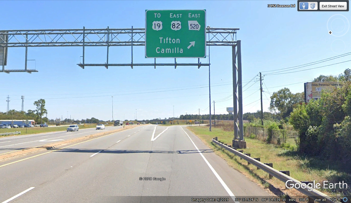
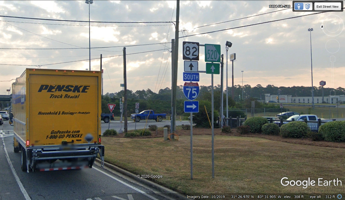
Here is the next major intersection where US 82 comes in from the west to
join GA 520 heading east at the town of Dawson, Georgia. We got here at
9:58 AM from our Columbus departure at 9:04 AM.
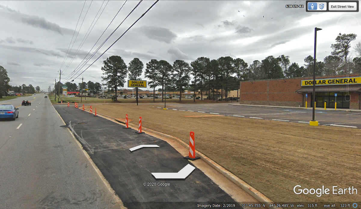
Two minutes later we stopped at this Dollar General which was not open
when the Google Earth camera vehicle passed by here in February 2019. The
dirt between the curb and the parking lot was covered with SOD when we showed up
on November 19, 2020. It made a good place for Chase to take his break. We stopped
here at 10:00 AM and departed at 10:10 AM heading East.
I have not traveled this part of Georgia in a long time and sometimes forget how close
together some of these towns are to each other. It was 10:27 AM when we
got on the bypass around Albany, Georgia at the northwest side of town.
Many of the locals pronounce the city name at "ALL-Benny".
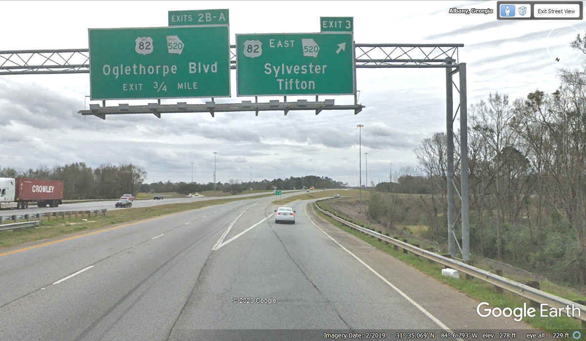
Exit 3 from the East side of the bypass around Albany is the continued
routes we were using on the other side of town. Tifton is our next
important city as it is where we get on Interstate 75 going south toward
Florida, 60 miles south of Tifton.
A familiar road again as we head south on I-75 with Florida just over 60
miles from here at 11:16 AM.
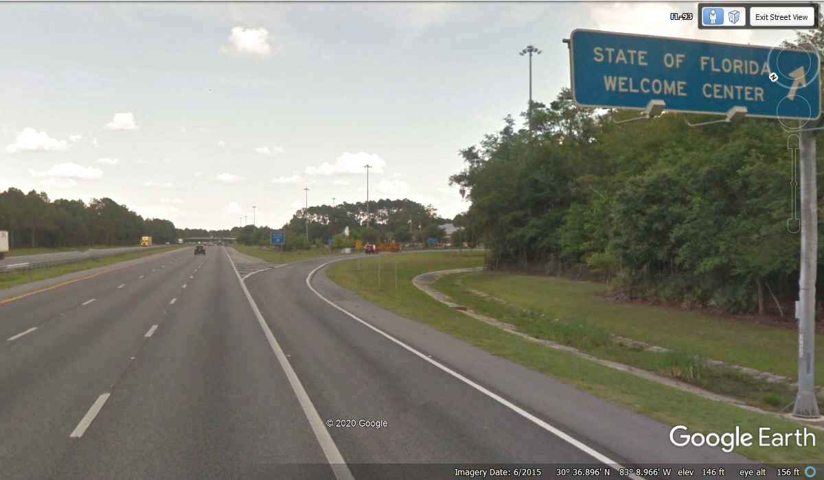
I don't always stop here since I usually buy fuel in Valdosta, Georgia
only 17 miles north of the state line. We have enough fuel to go all the
way home, xo this is a comfort stop for all three of us.
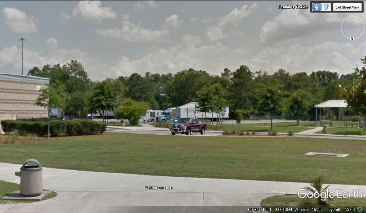
I parked the car at 12:11 P.M. on the north side of the rest area with
access for Chase to the grass areas. We were back on the road at 12:29 PM
going south again.
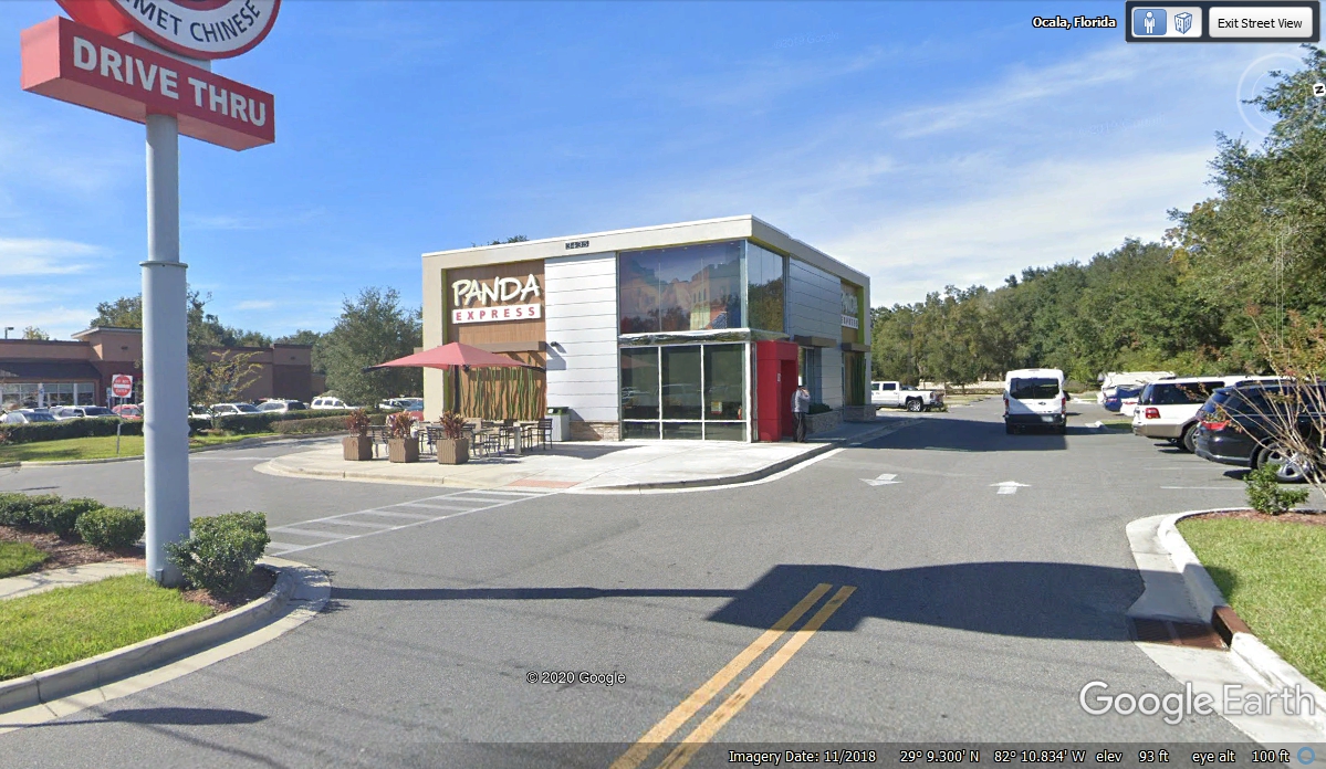
Our next stop was in Ocala to get take-out lunch at Panda Express at 2:20
PM and departed at 2:54 PM after a meal in the car. As always, there was
grass available to Chase to get his bladder relief.
Since we were in the Ocala area, I wanted to show Linda where I worked and
lived during the years I flew radio-controlled airplanes with the Kissimmee
Valley Model Club. We drove to Silver Springs Shores southeast of
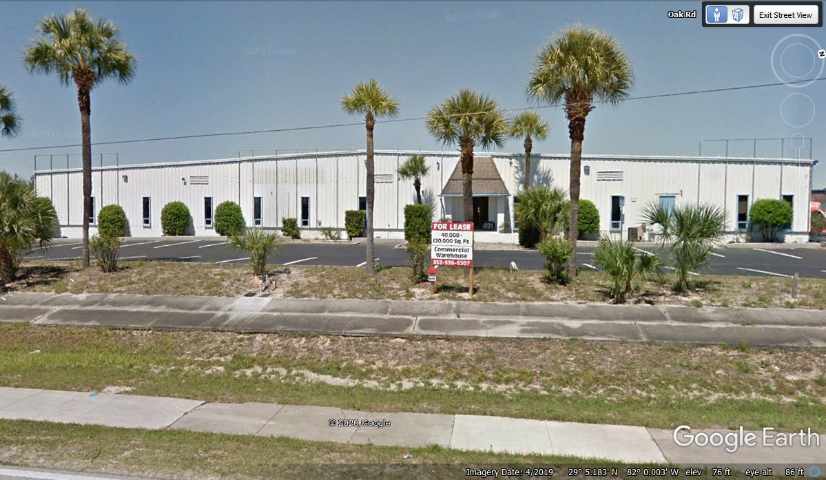
Ocala. I worked for a satellite receiver and antenna company headquartered
in this building on Oak Road from 1978 to 1989. I traveled all over the
USA and trips to the Bahamas, Canada, Mexico City, and Japan while working in
the commercial satellite industry for cable television systems. The
company I worked for here was acquired by L-3 Communications and they moved the
company up to the Washington, DC area. They wanted the telemetry receiver
products that were used by the US government and some big commercial companies
like John Deere who used telemetry monitoring receivers in the field testing of their
farm equipment. The CATV equipment products that brought the company here to Florida
from Rockville, Maryland were discontinued sometime after my departure from the
company.
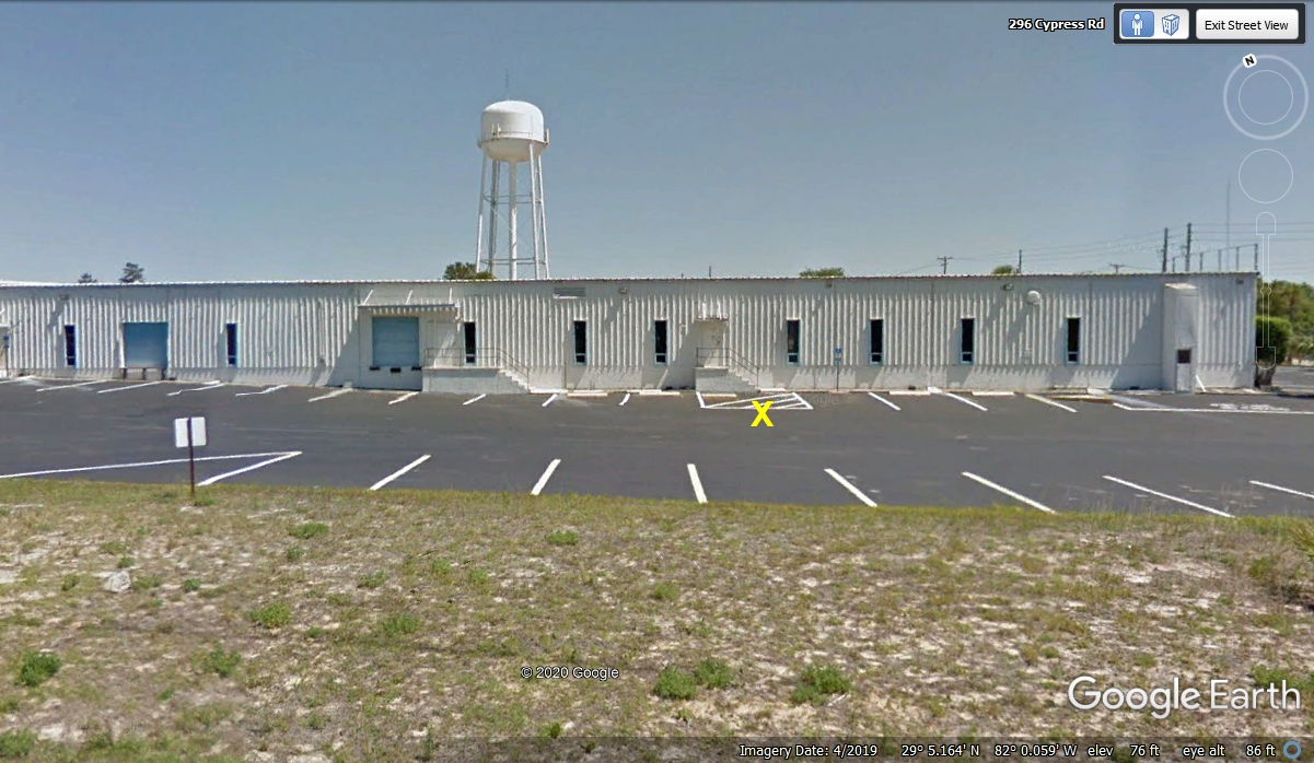
This is the south side of the building where "X" marks the spot
where I watched with my eyes as the Challenger exploded January 28, 1986 about 90
miles from this location.
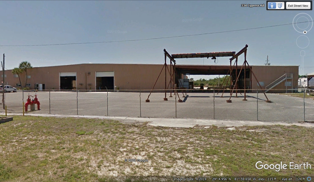
This is the building up the hill East of the location seen above where
they built satellite antennas including the aluminum components and steel mounts
for them.
I lived in these two diplex units the last three years I was working
with the
company. The lady who owned them wanted me to move from the one on the
right to the one on the left when she wanted her sister to move into my
unit. That would put them both in the same building next door to each
other. We departed the area at 3:52 PM going down to Leesburg along the
way home. 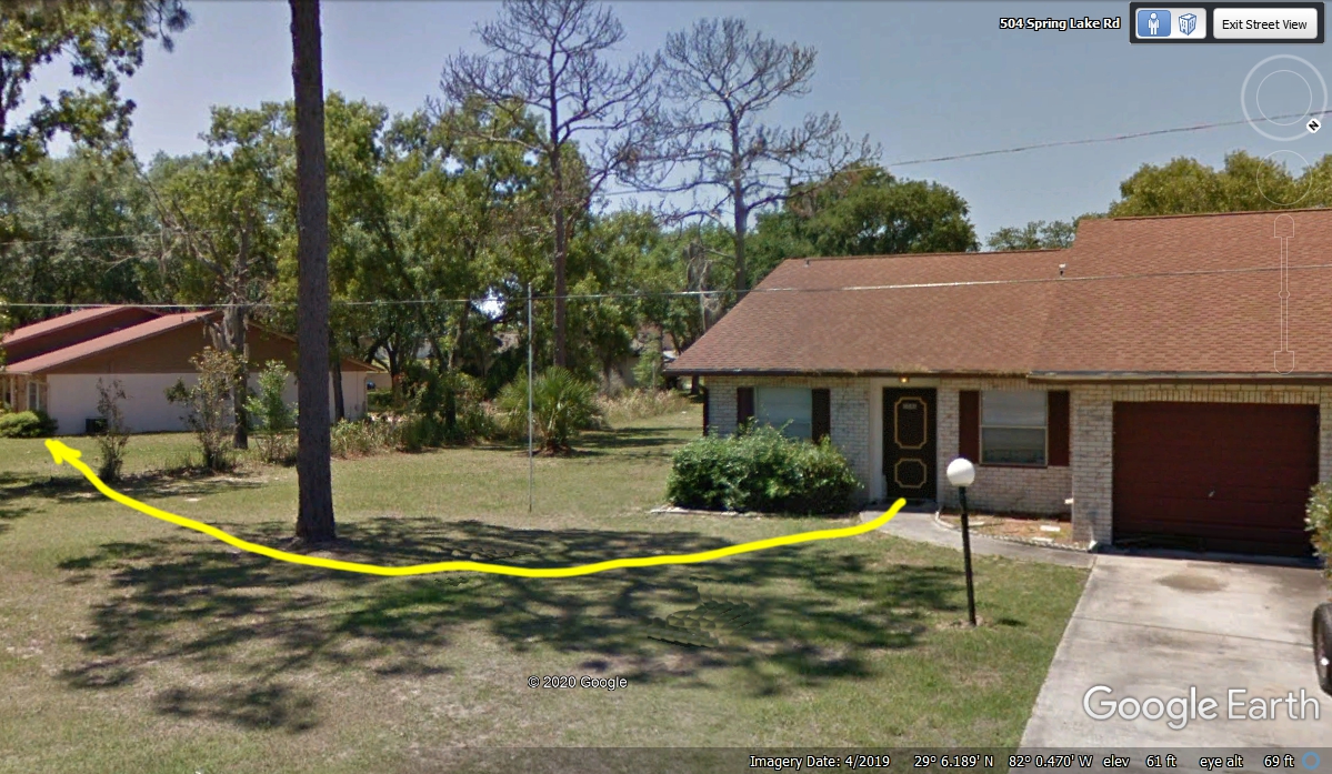
We left home eight days ago on November 11 on US 441. then the Florida
Turnpike, and north to Georgia, North Carolina, Tennessee, and back south through
Georgia via a different route. Today we are back on US 27 and US 441
between Lady Lake and Leesburg, Florida going south at 4:19 PM.
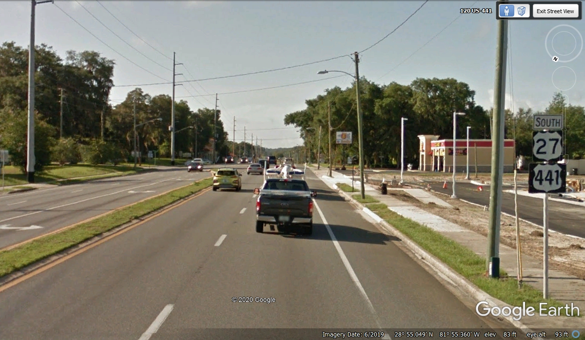
It is now 4:30 PM as we are getting closer to home. From here we
take US 27 south to the Florida Turnpike. The US 27 route avoids a number
of towns on US 441 going to Orlando. Remember that US 441 is only ONE
BLOCK from our house in the Kissimmee area.
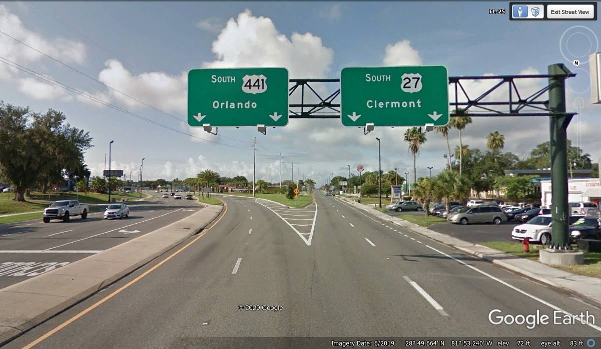
This is the last US 27 sign before getting on the Florida Turnpike just up
ahead. It is possible to take US 27 south to US 192 which is the other US
highway just on block from our house. The problem with that route is US
192 passes in front of the Main Gate to Disney World and all the other hotels
and commercial businesses over in that side of Osceola County. That is the
part of US 192 where the traffic lights are numbered for the tourists to find
their way to other attractions and restaurants over there.
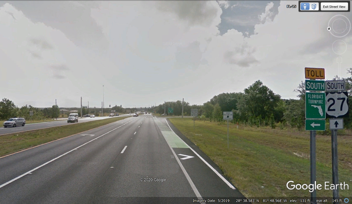
This ramp from US 27 to the Florida turnpike only goes SOUTH to Orlando,
Kissimmee, and all the way to Miami. We are going to Kissimmee and no
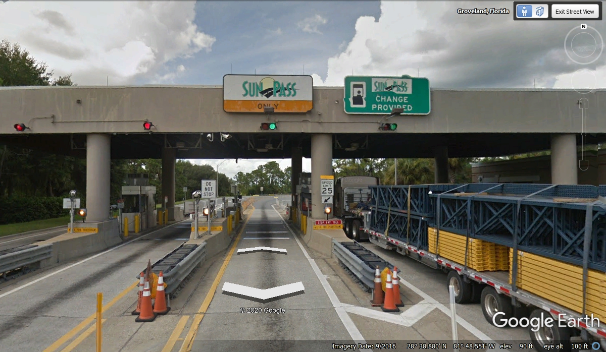
further. It is 4:57 PM as we pass through the toll gate. The
turnpike passes through the Orlando area where traffic can get backed up at rush
hour times.
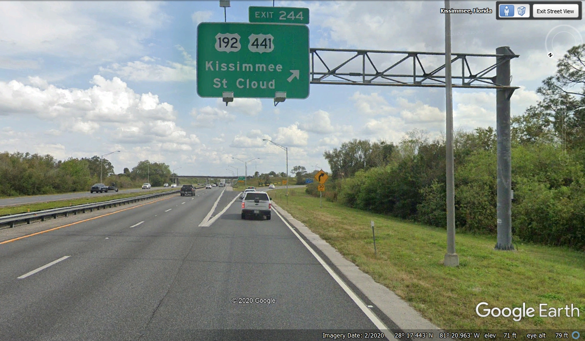
We are getting off the Florida Turnpike at our Exit 244 with only two
miles to go to the house and the end of our 2020 vacation. The time now is
5:51 PM, exactly EIGHT HOURS since we started today's portion of the trip from
Columbus, Georgia to the Kissimmee, Florida turnpike exit.
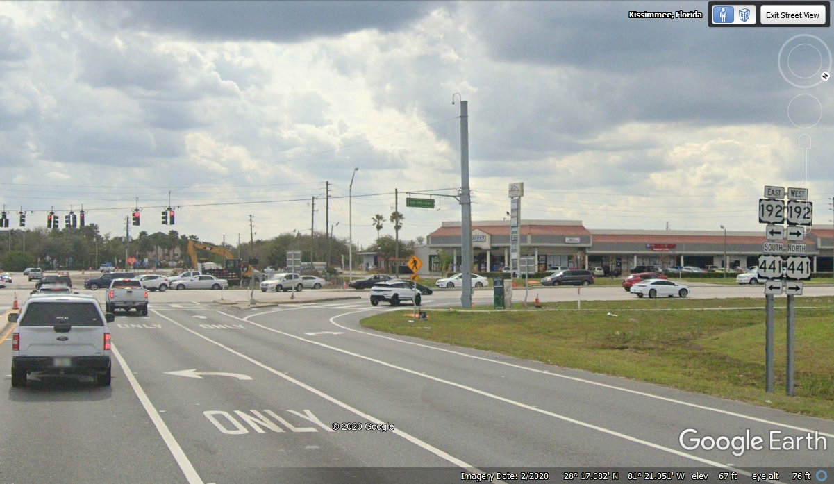
Here is the last turn on the exit side of the toll gate before getting home with the last GPS time stamp of
5:59:53 PM at the house. It feels just as good finishing this last web page
at 12:38 AM on December 26, 2020 as it did when we arrived home on November 19,
2020. I have been checking all the pages and I am ready to upload this story on
December 29, 2020. January 3, 2021 should be the last time I am updating
these pages after the initial postings last week.
I enjoy working on this web site as it is a reminder of the things I do that become lasting memories, especially when I share them in these web pages. If you have not been on our Oshkosh 2019 vacation tour, I have provided a link to that menu below. That AirVenture marked 50 years of the annual convention being held at Wittman Field in Oshkosh, Wisconsin.
| RETURN TO 2020 VACATION MENU |