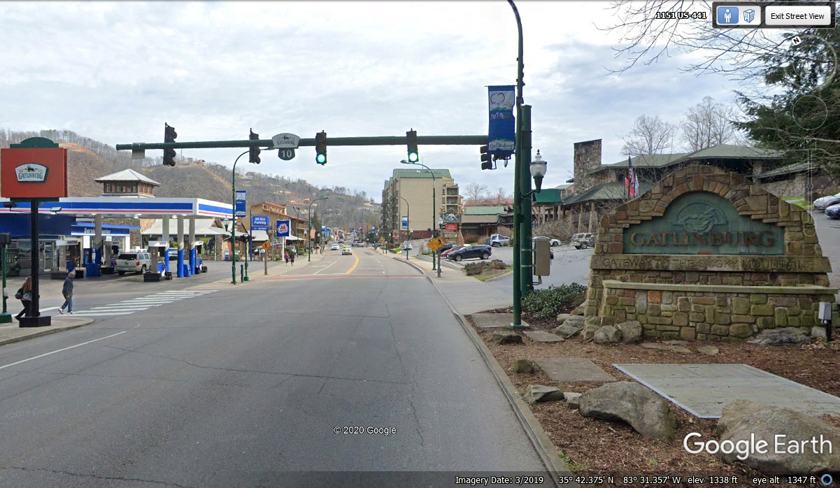
TOURING SOME OF TENNESSEE · · PAGE 14.
November 17, 2020: Tuesday continues
with the trip into Tennessee on the north side of the Smoky Mountains. Since
Linda and I live near Disney World, we looked up to see the number of the
traffic light and recalled US 192 going from Kissimmee to the Disney World area west
of town. The numbers help the tourists get to where they want to go
(again).
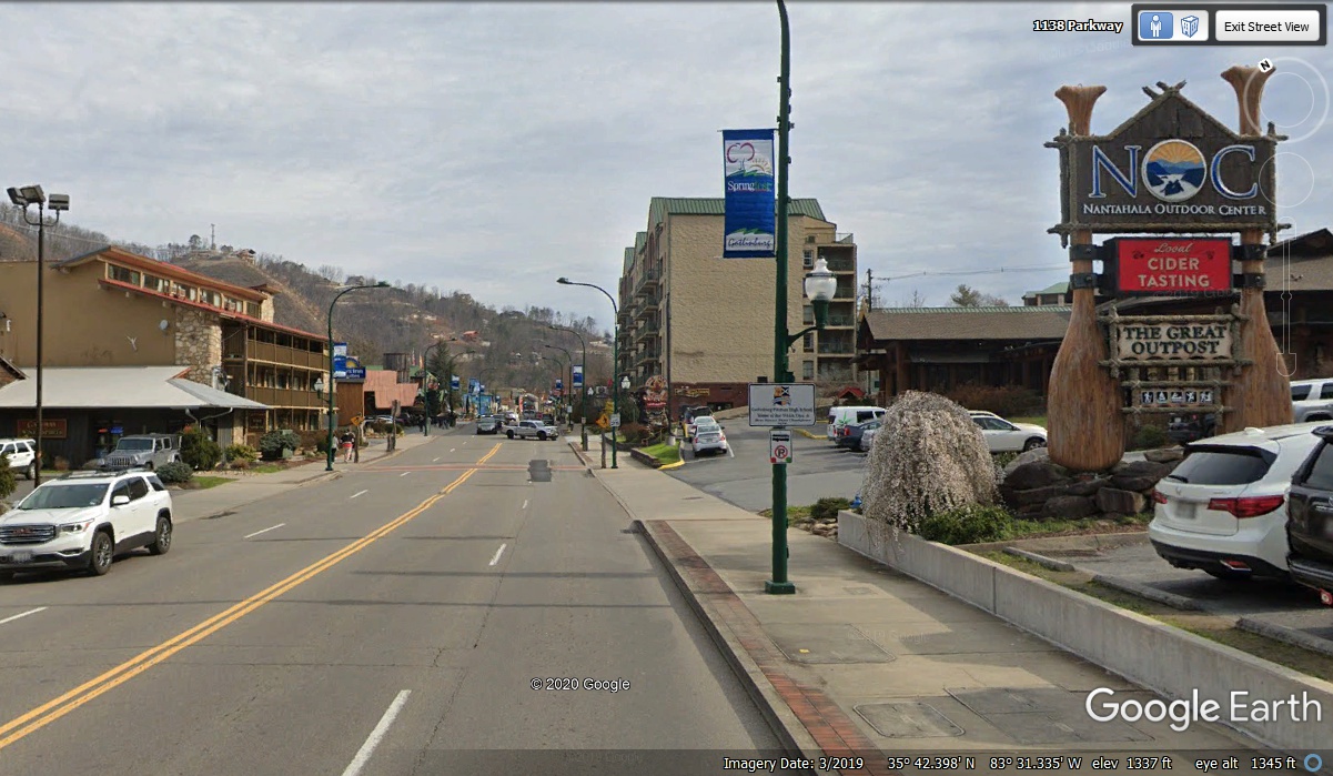
The sign held up by a pair of very large paddles is the clue this store is
a supplier of rafting and kayaking equipment as there are plenty of streams and
white water locations in the mountains of North Carolina and Tennessee. The Nantahala
national forest with rivers and streams was along our route from Georgia and North Carolina to get here
in Tennessee.
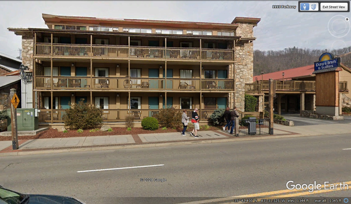
The Day's Inn managed to get a location close to the National Park
Boundary. The original building is the one where the office is located by
the sign. The large building that dominates this image is only one of TWO
different three-level buildings on the property. The other one is behind the Day's
Inn building containing the office.
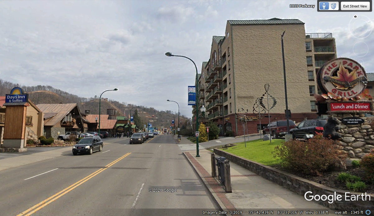
The five story hotel on the other side of the street is Bear Inn and
Suites with plenty of rooms and parking in the rear of the building.
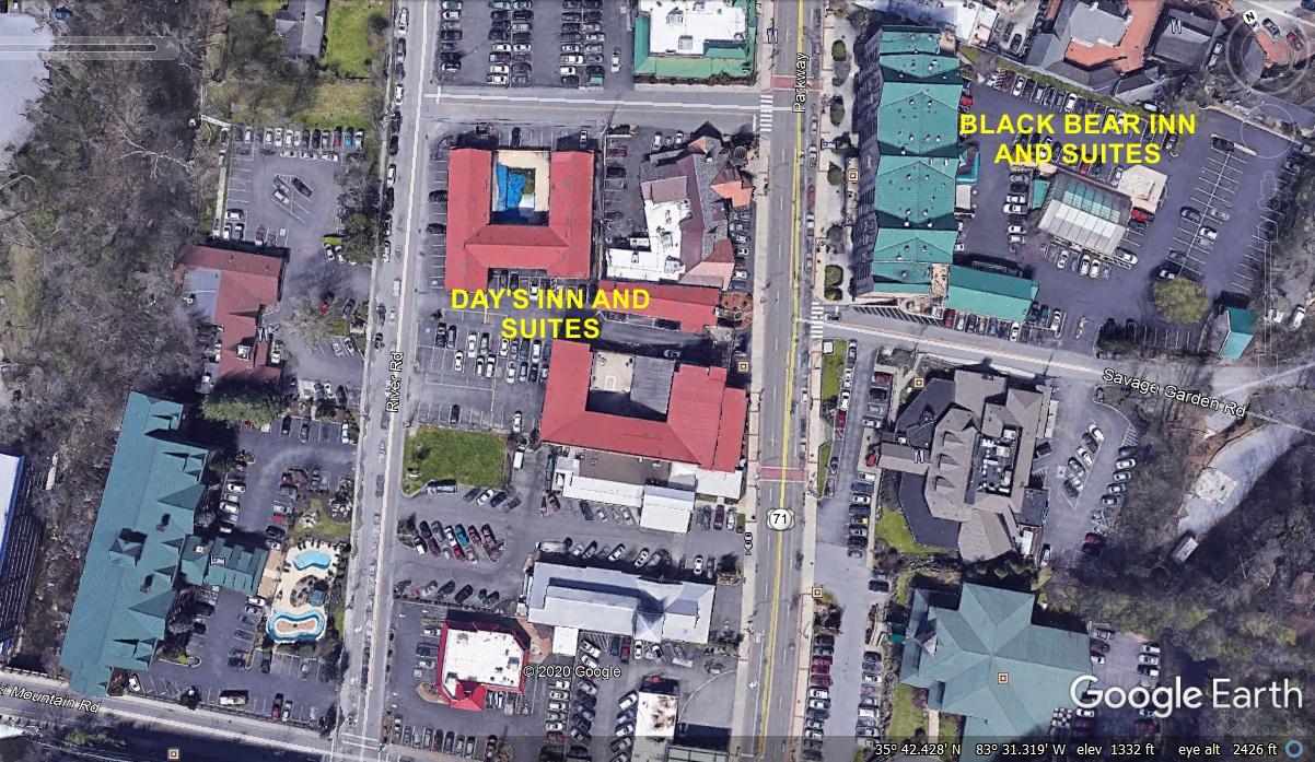
To put things in perspective, a look down on this area shows just how big
these two hotels really are. All three buildings of the Day's Inn are
revealed along with the available parking behind the buildings. The Black
Bear Inn has a driveway that goes from the street under the five floors to get
to the parking area out back. There are also a few smaller motels and
restaurants visible
on the street behind the Day's Inn.
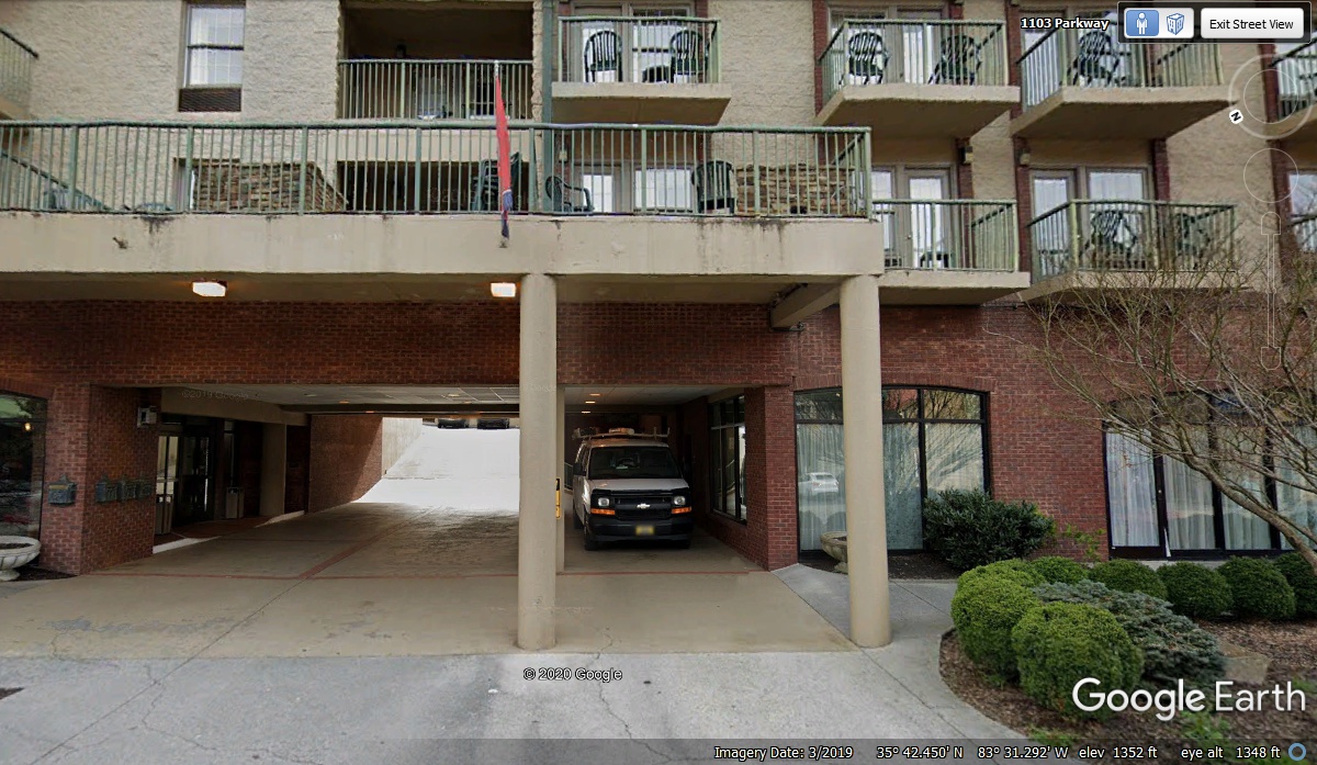
Here is the entry to the Black Bear Inn. Other than the motel
office, many of the ground floor store fronts are independently operated.
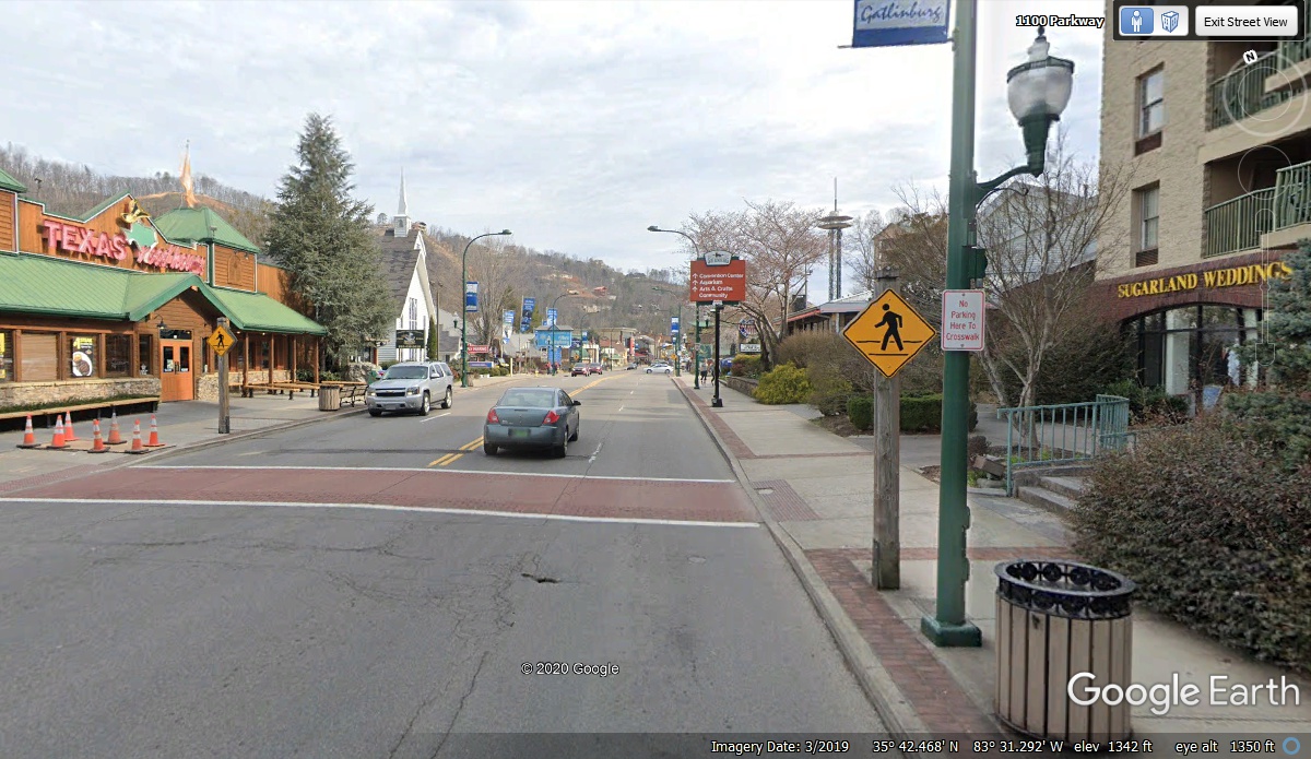
The TEXAS ROAD HOUSE has one of their nationwide steak houses located here
in Gatlinburg. This town is a year-round vacation place. The
National Park may close the gates when the snow comes, but the nearby ski slopes
are open. Blooming trees and flowering shrubs in springtime and the FALL
colors are the most likely time when the seasonal guests come. Sugarland
Weddings, located in the Black Bear Inn building, is here for those who want to get
married as part of their vacation in the mountains and create a lasting memory.
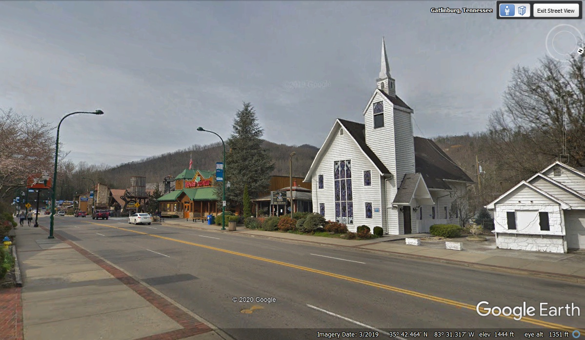
The "CHURCH" seen here is not affiliated with any religious
group. There is no cross or other religious symbol at the top of the
spire. This is Sugarland Chapel, also a place for visitors of every
faith to get
married. This is starting to sound like Las Vegas.
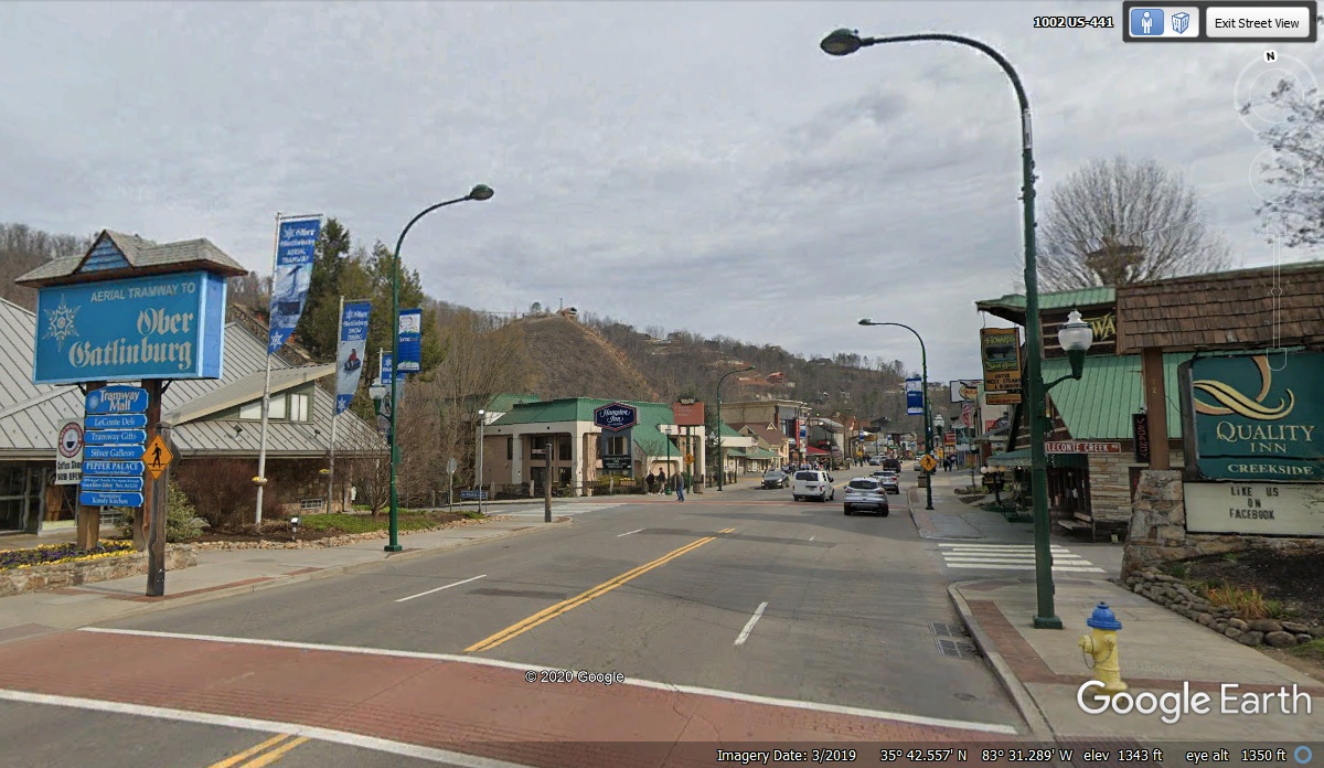
The motels continue down the street away from the National Park as seen by
the Quality Inn here and the Hampton Inn in the next block. That big blue
sign across the street is the ground location for a 2.1 mile-long cable car tram
ride to the
Ober Gatlinburg ski resort on a nearby mountain. Both of these
hotels cater to folks who want to ride the Tram up to the top of the
mountain. On the ground continuing along the street are some well known
restaurants, the Gatlinburg Convention center, and the Bubba Gump Shrimp Company.
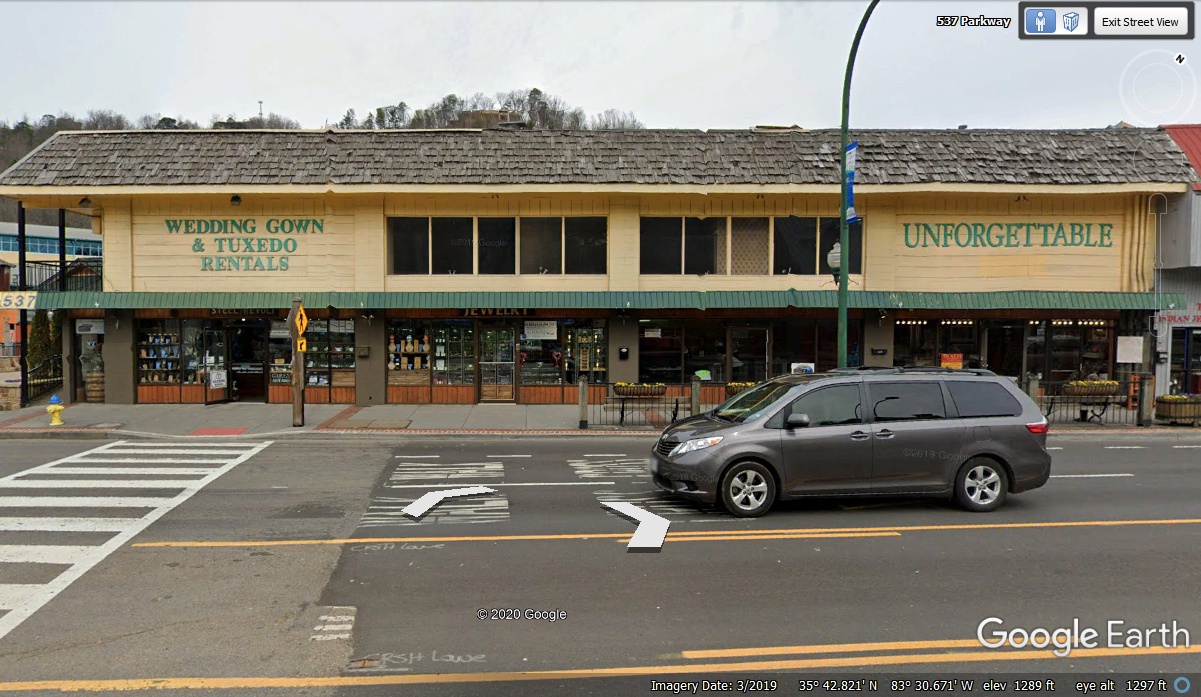
By the time you get toward the end of the "Tourist Strip" of
motels, restaurants, and attractions, this place named "UNFORGETTABLE" rents Wedding Gowns and Tuxedoes. Now we know where the couples
heading to tie the knot get their "costumes" for the solemn event.
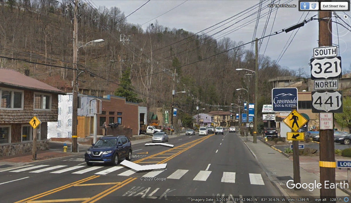
The tourist part of town is behind us as US 321 coming from northeast
Tennessee has now joined US 441. With one sign saying NORTH and the other
with SOUTH, we must be going northwest leaving town. The Google Earth
compass at the upper right corner of this image confirms that direction.
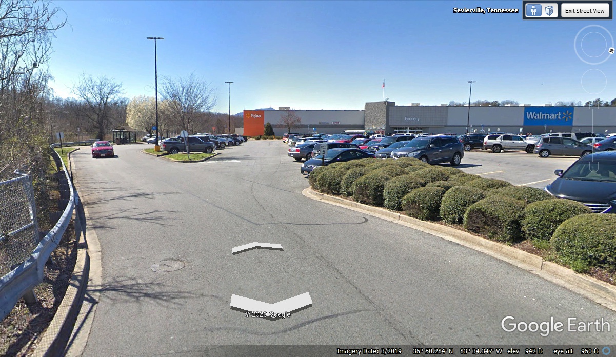
On our way out of Gatlinburg we noticed more normal restaurants and stores
like this Wal-Mart where we stopped to get a few items and take a break.
Chase had his break on the two patches of grass seen on the left side of this
image. Linda wanted to stop at a Chevy dealer to get the tires checked in
case there was a nail or screw in it. We stopped at a dealer about two miles
from the Wal-Mart only to discover a long line of folks with worse problems than
we had. The service manager suggest two other places that could help us.
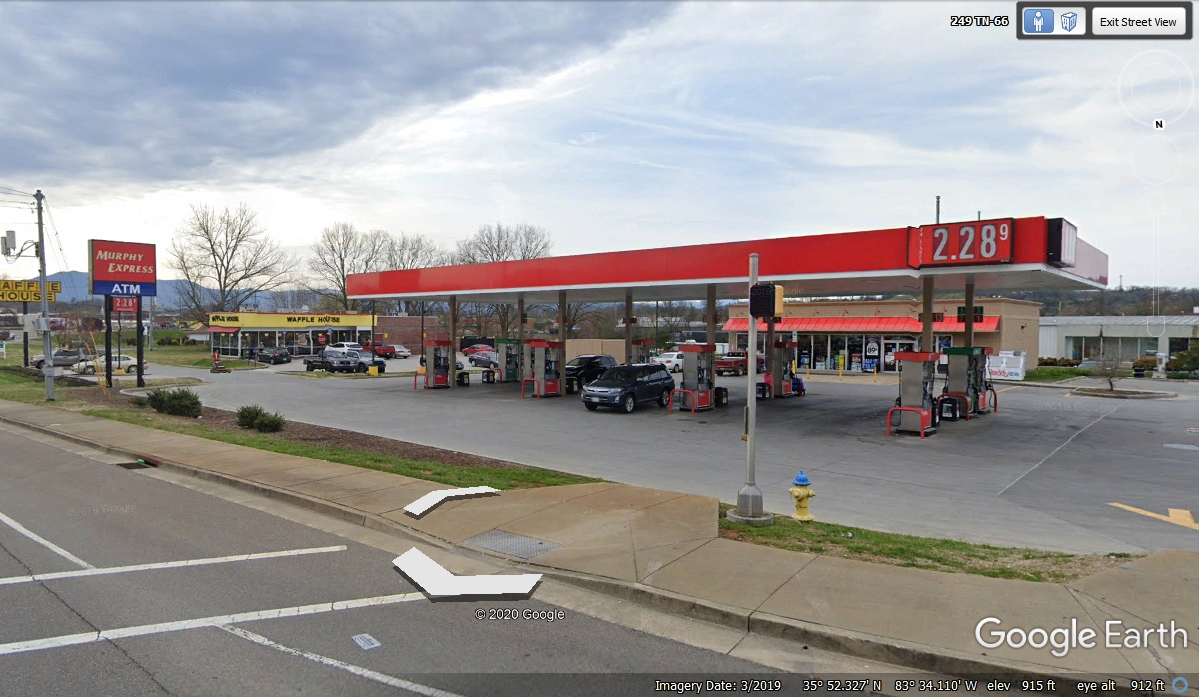
After leaving the Chevy dealer, I noticed a Murphy Express gas station and
pulled in there to top off with fuel. I also pulled the car over to the
air pump to put air in all four tires. The dash panel low tire pressure
light went out of course as the one remaining low tire was at a safe 32 PSI. The
others were about 35 PSI.
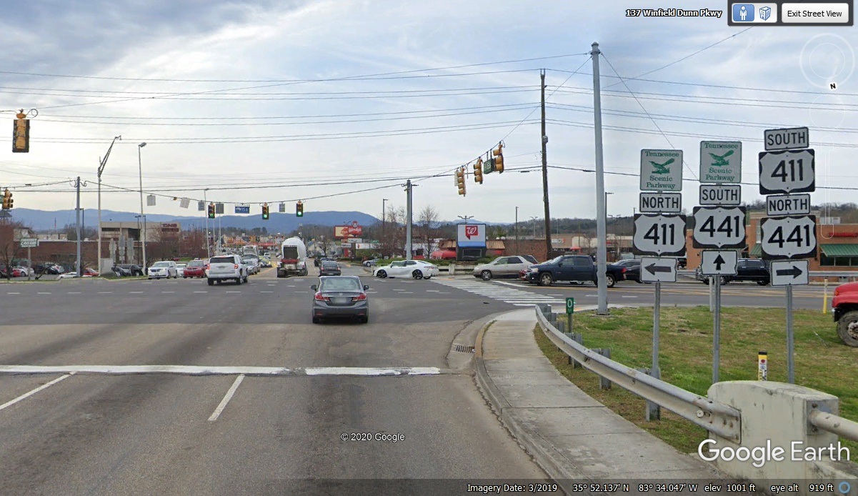
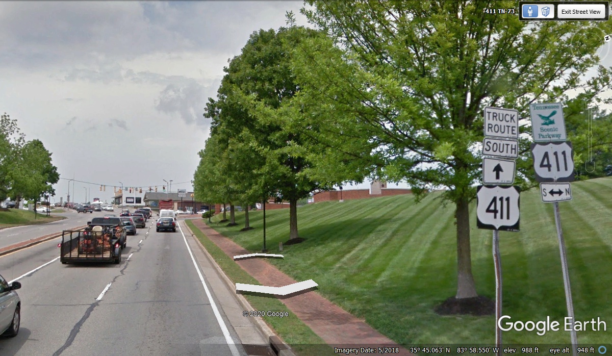
We got back on the road heading to Maryville, Tennessee using US Route 411, a road I have used several times in the past.
We left Murphy Express at 11:30 AM and we were on US 411 two minutes later.
Notice that US 441 is concurrent with this next section of US 411. With
one route heading south and the other heading north, we will again actually be
going west.
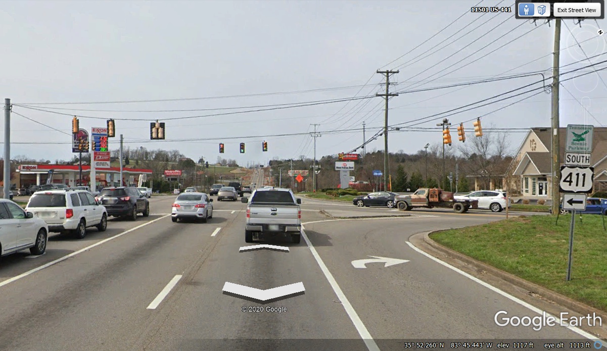
US 411 and US 441 headed west out of Sevierville, Tennessee for just over 12
miles where US 411 turns left going to Maryville, Tennessee. US 441 continues
straight ahead toward Knoxville, Tennessee. The Google Earth camera vehicle was in the
right lane when it went through here. We were in the left turn lane.
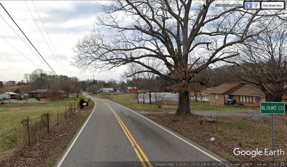
Tennessee has some secondary roads that do not have much of a shoulder, if
any. This is one of those highways.
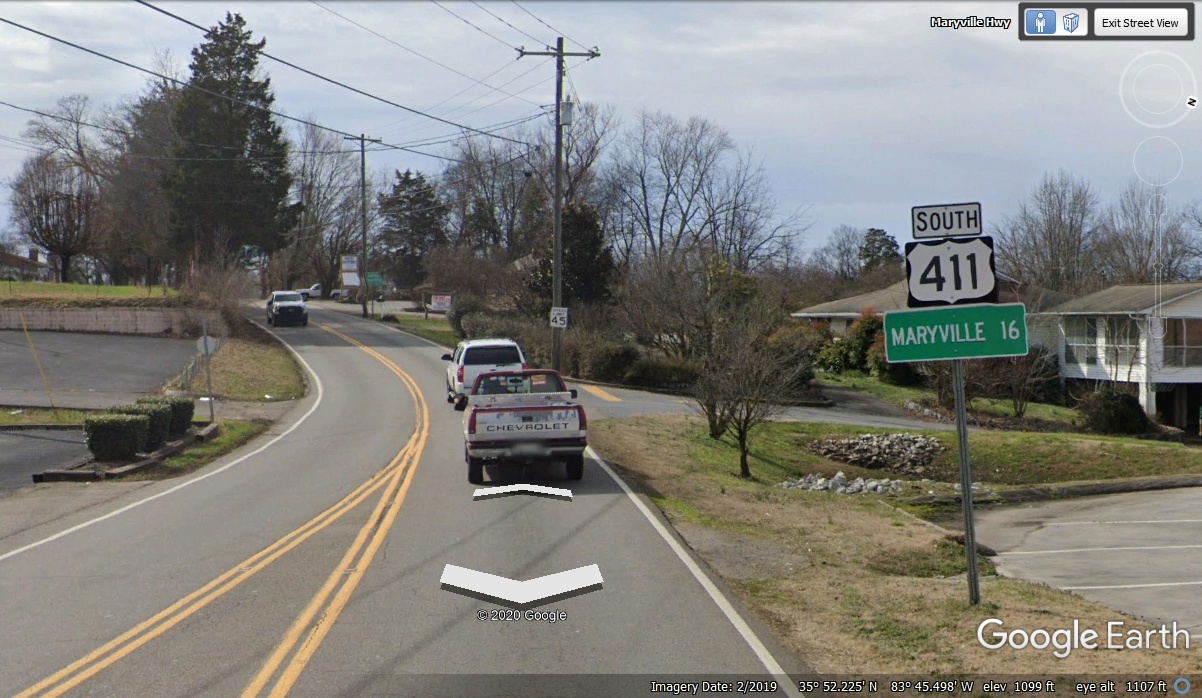
Blount County is the same county where the airport that serves the
Knoxville area is located. This is also where the Aluminum Company of
America is located. The name of the town there is ALCOA, which is an
acronym of the company name.
The original US 411 that comes through the center of Maryville, Tennessee
will cross this route up at the next intersection.
| SOUTH FROM MARYVILLE, TENNESSEE - - PAGE 15. | RETURN TO 2020 VACATION MENU |